

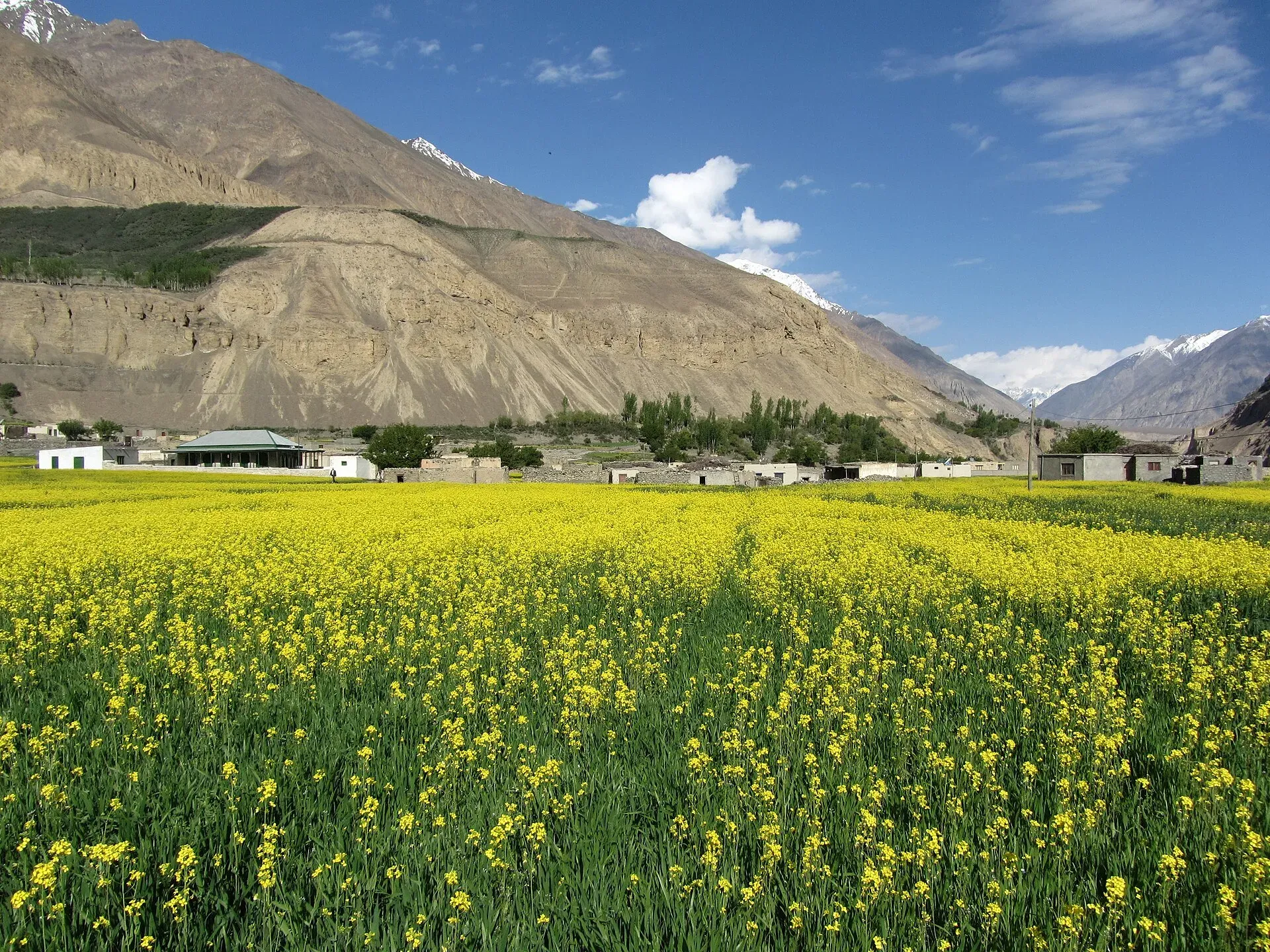
Photo: Shujaat Aly, with thanks · CC BY-SA 3.0 · via Wikimedia Commons · temporary stand-in photo

Boisum and Chafchingol Passes
- Duration
- 7 days
- Distance
- 59.6 km
- Grade
- Technical
- Max altitude
- 5,100 m
- Season
- Jun – Sep
A seven-day traverse from Shimshal to Koksil on the Karakoram Highway, over Boisum Pass and the glaciated Chafchingol Pass. River fords, rope work and a guide are needed.
Overview
This is the classic traverse of the Ghuzherav mountains. It starts in Shimshal village and ends at Koksil, on the Karakoram Highway about 17 km before the Chinese border at Khunjerab Pass. On the way you cross two high passes, Boisum (about 4,900 m) and Chafchingol (about 5,100 m). Boisum is a rocky walk with no glacier. Chafchingol is a real mountain pass: you ford a deep, fast river several times, climb loose Class 2 scree and descend a crevassed glacier.
Who it suits
This is a very demanding trek. You should be experienced and fit, comfortable with river crossings, and happy to rope up. The old guidebook says you may need to fix at least 150 m of rope for the glacier and river. Hire local help. Do not try it as a first big trek.
When to go
Mid-June to September. Rivers are lower in the morning, and the Chafchingol fords are worst in the afternoon and in high summer. Early in the season, snow covers the bergschrund on the Chafchingol glacier. Later, you may have to go down a rock face or abseil.
The route
You start by walking from Shimshal up the Zardgarben valley. Day 1 climbs through a narrow canyon to the broad, flat plain of Zardgarben (4,075 m), the bed of an old lake. Day 2 passes Shpodeen (4,471 m) to Jafervask (4,602 m), a flowery camp with ibex.
Day 3 crosses Boisum Pass in about two hours, past two small lakes, and descends to Perchodwashk (4,580 m). Maps show Boisum as above 5,000 m. The guidebook authors never measured more than about 4,900 m, and a Russian map gives 4,930 m. Maps also show glacier on the north-east side, but the trail is on rock and stable moraine.
Day 4 follows meadows and rubble tongues down the Boisum valley to Mandi Kshlakh (4,129 m), then west up the Ghuzherav to Avduzhi and the summer settlement of War-e-Ben (3,597 m). Day 5 enters the Chafchingol gorge. In high water you may ford three to five times, and may need fixed rope. Camp at Chafchingol Base Camp (4,084 m).
Day 6 is long. Start early. Scree and loose rock lead to Chafchingol Pass (about 5,100 m), then a steep descent of the glacier, either on snow over the bergschrund or by the rock on its west side. You camp by the Koksil River. Day 7 is a short walk down to the highway at Koksil (4,410 m).
Terrain underfoot
The trek changes character three times. The first two days follow the Zardgarben canyon: river crossings, a steep 250 m scree slope with rockfall, then a flat old lake bed and grassy camps. Boisum Pass is rock and stable moraine, with two small tarns (Lup Zhui and Dzak Zhui), outwash plains marked by cairns and gentle moraine on the far side. The Boisum and Ghuzherav valleys are meadow and rubble tongues from side glaciers, with a broad river to ford. The Chafchingol gorge is the wet section, with three to five fords in high water. Above it the trail is scree, steep Class 2 near the top (steep walking with the occasional use of hands), and then a crevassed glacier.
Preparation
- Acclimatise: spend a day in Shimshal first, since five nights are above 4,000 m.
- Gear for the north side of Chafchingol: harness, ice axe and at least 150 m of rope, according to the old guidebook. A guide who has done the pass is the practical answer.
- Cross rivers early in the day. Water is lowest in the morning.
- Bring tarps for porters at Jafervask and Chafchingol Base Camp, where there are no huts.
- Carry a satellite messenger. There is no phone signal and rescue is far away.
Culture and people
Shimshal is a Wakhi village, and Shimshalis are known for their mountaineering. Rahmat Ullah Baig, from the village, made the first ascent of Sonia Peak (6,340 m), which rises west of Chafchingol Base Camp. Herders move yaks and flocks up to War-e-Ben in summer. They stop there because yaks cannot cross Chafchingol Pass. Boisum means "the pass above the caves". The overhangs below it were the overnight shelter on the old two-day trip between Shimshal and Ghuzherav.
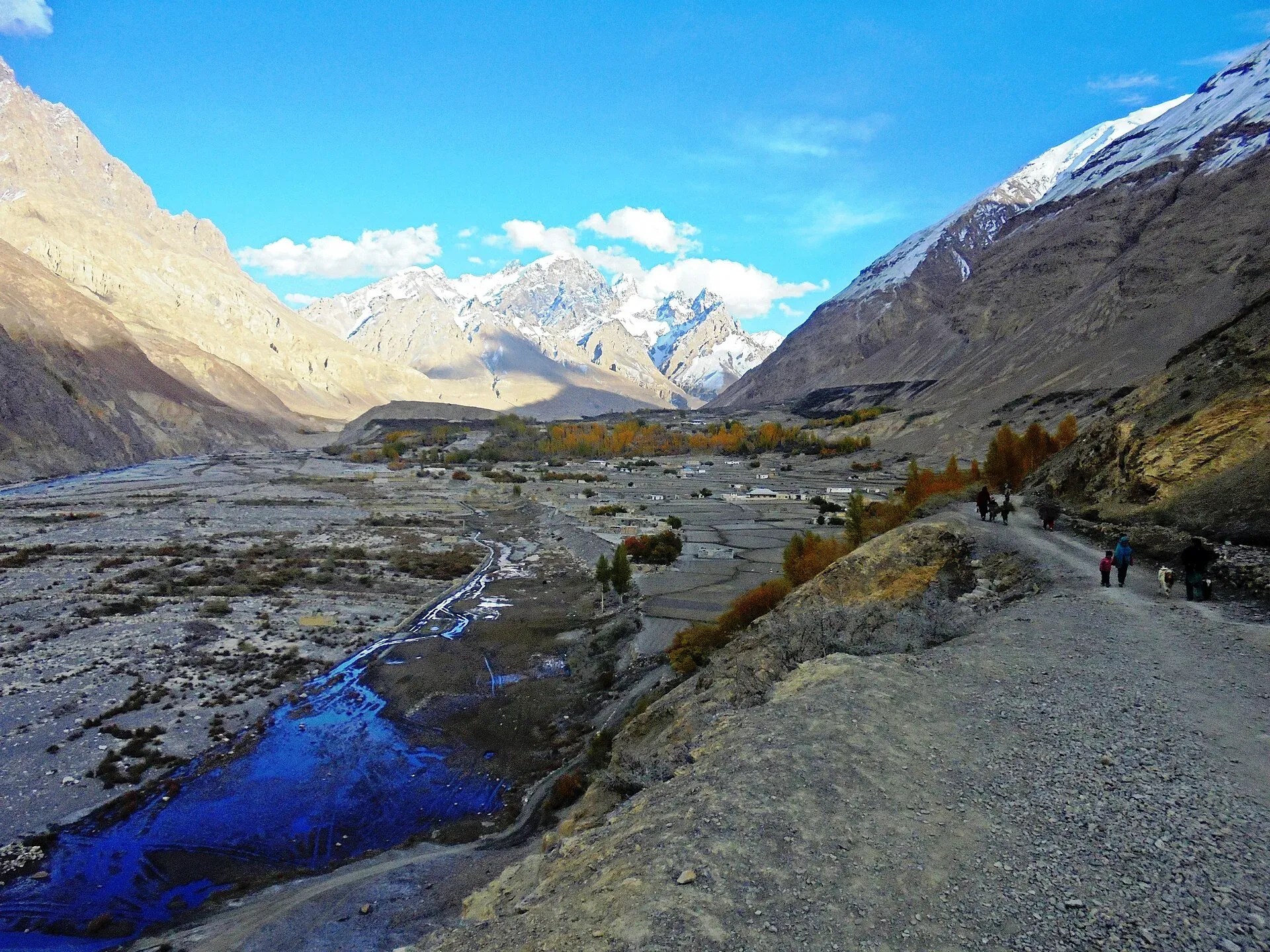
Photo: Spiture, with thanks · CC BY-SA 4.0 · via Wikimedia Commons · temporary stand-in photo

Practical information
Access to Shimshal is by the Passu jeep road (see Getting there). The finish is not easy. The Chinese buses on the KKH are usually full, so arrange a vehicle in advance. If you start at Koksil instead, you may need special permission, since the Khunjerab Security Force at Koksil controls entry. Porters carry about 25 kg including their own food. Agree the number of stages before you leave: the old guidebook says Shimshalis asked for 12 stages for a trek the authors completed in nine. Bring tarps for porters at Jafervask and Chafchingol, where there are no huts. Most of the Ghuzherav lies inside Khunjerab National Park.
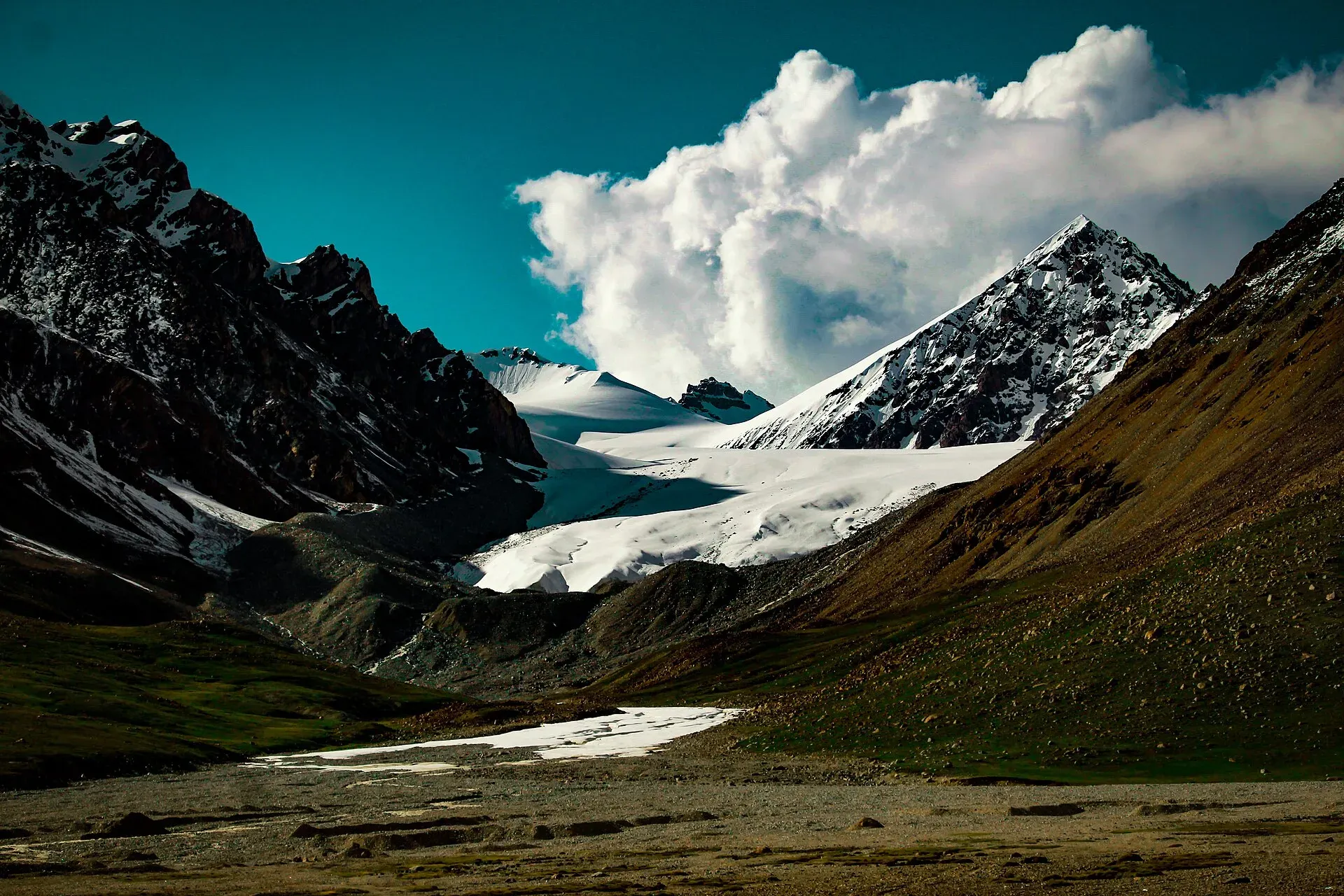
Photo: Gecksproduction, with thanks · CC BY-SA 4.0 · via Wikimedia Commons · temporary stand-in photo

Highlights
- Two high passes through the Ghuzherav mountains
- Boisum Pass with no snow or ice and wide views
- Flower meadows at Jafervask, Perchodwashk and the Boisum valley
- Chafchingol Pass and its glacier descent to the Khunjerab area
Day by day
| Day | Camp | Altitude |
|---|---|---|
| 1 | Zardgarben | 4,075 m |
| 2 | Jafervask | 4,602 m |
| 3 | Perchodwashk | 4,580 m |
| 4 | War-e-Ben | 3,597 m |
| 5 | Chafchingol Base Camp | 4,084 m |
| 6 | Koksil River | 4,420 m |
| 7 | Koksil | 4,410 m |
| Day | Route | Hours | Distance | Ascent / descent | Camp and altitude |
|---|---|---|---|---|---|
| Day 1 | Shimshal to Zardgarben | 4–5 h | 6.9 km | +1,075 m | Zardgarben, 4,075 m |
Day 1 notesWalk east from Shimshal over Michael Bridge and through the fields of Band-e-Sar, then turn north up the narrow Zardgarben canyon. Cross the river four times to Shaushau (3,360 m), climb a steep 250 m scree slope to a wooden portal at 3,600 m, and reach the broad plain of Zardgarben (4,075 m). Beware of rockfall on the scree. A herders' hut stands at the camp. | |||||
| Day 2 | Zardgarben to Jafervask | 4 h | 8.4 km | +527 m | Jafervask, 4,602 m |
Day 2 notesCross the plain north, ford the stream from Uween-e-Sar and cross the Zardgarben River. Follow the river edge past the lone hut at Shpodeen (4,471 m) to Jafervask, a grassy, flower-filled spot under high cliffs with ibex. Which bank you use depends on the water level. | |||||
| Day 3 | Jafervask over Boisum Pass to Perchodwashk | 3–4 h | 10.2 km | +273 m / −295 m | Perchodwashk, 4,580 m |
Day 3 notesClimb for 1½ to 2 hours up the true left bank of the stream to Boisum Pass (4,875 m on the guidebook figure). Below the pass is the tarn of Lup Zhui. Cross the outwash plains marked by cairns, pass the smaller Dzak Zhui, and descend gently on moraine to the hut at Perchodwashk (4,580 m) in the meadows. | |||||
| Day 4 | Perchodwashk to War-e-Ben | 4½–5 h | 14.1 km | −983 m | War-e-Ben, 3,597 m |
Day 4 notesDescend the Boisum valley on the true left bank, past meadows and three tongues of side-glacier rubble to Mandi Kshlakh (4,129 m). Turn west up the Ghuzherav to Avduzhi (3,871 m). In high water you ford the broad river twice. Continue on an easy trail to War-e-Ben, the main summer settlement in Ghuzherav. | |||||
| Day 5 | War-e-Ben to Chafchingol Base Camp | 4–5 h | 10 km | +487 m | Chafchingol Base Camp, 4,084 m |
Day 5 notesCross the Ghuzherav by steel cable when the water is high, or wade when it is low. Enter the Chafchingol gorge, where high water may need three to five fords and possibly fixed rope. Above the gorge the trail crosses scree to Targeen (3,870 m), then continues to the base camp (4,084 m), a site with low stone shelters. Water is near the river. | |||||
| Day 6 | Chafchingol Base Camp over Chafchingol Pass to Koksil River | 6–7 h | 6 km | +1,016 m / −680 m | Koksil River, 4,420 m |
Day 6 notesA long, hard day, so start early. Climb about four hours over scree, steep Class 2 near the top, to Chafchingol Pass (about 5,100 m), which has a large cairn and a glaciated north side. Descend either on the snow over the bergschrund, with a fixed rope, or down the rock on the glacier's west edge, which may need a short abseil. Follow the stream down to the Koksil River confluence and camp. | |||||
| Day 7 | Koksil River to Koksil | 2–3 h | 4 km | −10 m | Koksil, 4,410 m |
Day 7 notesWalk from the confluence to the Karakoram Highway at Koksil (4,410 m), where there is a Khunjerab Security Force check post and herders' huts. Meet your vehicle here. | |||||
Getting there
From the Karakoram Highway near Passu, a rough jeep road runs about 56 km up the Shimshal River gorge to Shimshal village. It opened in 2003 and takes about three hours by jeep. It is unsealed, narrow and exposed, with rockfall and washouts, so allow for delays. Arrange the jeep in Passu or Gulmit, or through your operator.
The trek starts and finishes at the village. When you leave, send word ahead to have a jeep meet you.
The trek ends at Koksil on the Karakoram Highway, about 17 km west of Khunjerab Pass. Public buses on the highway may not stop for trekkers, so book a special hire in advance. From Koksil, the road runs down to Sost and Afiyatabad.
Permits and rules
- Permit needed
- Yes, Restricted zone
- Fee
- Current fees will be added soon
- Last checked
- 16 November 2026
The old guidebook lists this trek as open with no permit. Current advice is less clear. Dawn reported in March 2026, quoting the Gilgit-Baltistan tourism department, that foreign trekkers in restricted zones must get permits from the department before they arrive (open zones need none); in February 2026 it reported that a sharp rise in permit fees had put foreign groups off. Some operators list Shimshal-area treks as restricted. Check with a licensed Pakistani operator or the GB tourism department before you book. Checked 16 November 2026. Starting from the Koksil end may need special permission from Gilgit authorities, and the Khunjerab Security Force at Koksil can decide whether to let you in. Current fees will be added soon.
How trekking permits, NOCs and registration work: Visa and permits.
Season
Best: Jun – Sep
Water and camps
Water is reliable at Shaushau, Zardgarben, Shpodeen, Jafervask, Perchodwashk (silty streams), Avduzhi and the Chafchingol camp. Huts exist at Zardgarben, Shpodeen, Perchodwashk, Targeen (small, cramped) and War-e-Ben. There are none at Jafervask or Chafchingol Base Camp, so bring tarps for porters. Camps are high: Zardgarben 4,075 m, Jafervask 4,602 m, Perchodwashk 4,580 m, Chafchingol Base Camp 4,084 m.
Gear and safety
Altitude: five nights above 4,000 m, with two passes. Allow a day in Shimshal first. River crossings: the Zardgarben, Ghuzherav and especially Chafchingol rivers are deep and fast in the afternoon and in high summer. Use ropes and cross early. Glacier travel: the north side of Chafchingol is crevassed, with a bergschrund. Bring rope for fixing at least 150 m, harnesses and ice axes, and rope up if needed. Rescue is far away and there is no phone signal. Carry a satellite messenger and insurance that covers helicopter evacuation. Wildlife: ibex and blue sheep live in the area.
Variations
From War-e-Ben you can go north-west down the Ghuzherav to the summer settlements of Dih and Spesyngov for two to four days, to see ibex and blue sheep. From Chafchingol Base Camp, Sonia Peak (6,340 m) is a three-day technical climb. A longer route, the Ghidims Pass, leaves this trek at Mandi Kshlakh (see our roundup of other treks in Gojal). You can join Shpodeen with the Qachqar-e-Dur loop and the Shimshal Pamir.
Tips
- Cross the Chafchingol river fords early in the day, when the water is lower.
- Bring at least 150 m of rope for fords and the glacier, and know how to use it.
- Agree the number of porter stages and load weights before you leave Shimshal.
- Arrange a vehicle in advance to meet you at Koksil.
- Bring tarps for porters at Jafervask and Chafchingol.
Photos we still need: Boisum Pass, Zardgarben plain, Chafchingol Pass and glacier (the yak-race photo, which shows the Shimshal Pamir, was removed). Send us yours
Health and emergency
Mobile signal is patchy on most treks, so tell someone your plan before you go. Emergency numbers
Sources and last checked
Last checked Confidence medium10 sources8 still to check
- Last checked
- Method
- Desk research from published sources
- Confidence
- medium
- Checked by
- trek.pk research team
Researched from published sources; not yet checked on the ground by our team. Spot something out of date? Report a mistake.
Sources
- Trekking in the Karakoram and Hindukush (Lonely Planet, ~2002), Gojal chapters; old trek.pk text · Lonely Planet / trek.pk archive · checked
- Shimshal · Wikipedia · checked
- Hunza Shimshal Pass trek (road details) · Lokalee · checked
- Shimshal Chafchingol Pass trek · Hunza Guides Pakistan · checked
- GB winter adventure tourism hit by soaring permit fee, visa delays · Dawn (1 Feb 2026) · checked
- Khunjerab National Park · Wikipedia · checked
- List of Restricted/Prohibited/Border Areas in Pakistan (page dated 14 January 2026; operator summary) · Apricot Tours · checked
- Shimshal and Chafchingol Pass trek (itinerary) · Apricot Tours · checked
- Gilgit-Baltistan tourism bounces back despite Middle East war · Dawn · checked
- Summer in Shimshal; Khunjerab National Park (photographs) · Wikimedia Commons · checked
Still to be checked on the ground (8)
- Boisum Pass height: maps say 4,900 to 5,090 m; guidebook authors measured about 4,900 m, Russian map gives 4,930 m; operator listings give 5,050 m and even 5,500 m. No official figure found
- Chafchingol Pass height: guidebook and Apricot Tours about 5,100 m; other operator listings 5,150 m. No official figure found
- Current permit and Khunjerab National Park rules and fees: an operator (Apricot, January 2026) treats the trek as needing a trekking permit with 30 to 45 days of security clearance; no official notice found
- Whether trekking from Koksil south is allowed and who gives permission
- River levels and fixed-rope needs on the Chafchingol fords
- Onward transport from Koksil (guidebook says Chinese buses are usually full)
- Distances and times are from the ~2002 guidebook
- Whether the Khunjerab National Park photo was taken inside the Ghuzherav section (file description names only the park)
Nearby and related

Qachqar-e-Dur and Shpodeen Pass

Shimshal Pamir

Shimshal Village
Chafchingol Pass
A glaciated pass of about 5,100 m between the Ghuzherav and Koksil on the Karakoram Highway. Deep river fords, crevasses and a rope-work descent.
Ghidims Pass
A very demanding pass of 5,486 m between the Ghidims valley in Ghuzherav and Sher Ilaq, Shimshal's winter pastures. First crossed by the guidebook authors in June 2000.
Boisum Pass
A rocky, non-glaciated pass of about 4,900 m (reported 4,900 to 5,090 m) in the Ghuzherav mountains near Shimshal. Crossed on two Shimshal treks; the height is disputed.

Khunjerab Pass
The 4,693 m pass on the Karakoram Highway where Pakistan meets China. It is the road crossing between Sost in Gojal and Tashkurgan in Xinjiang, now agreed to run all year.