

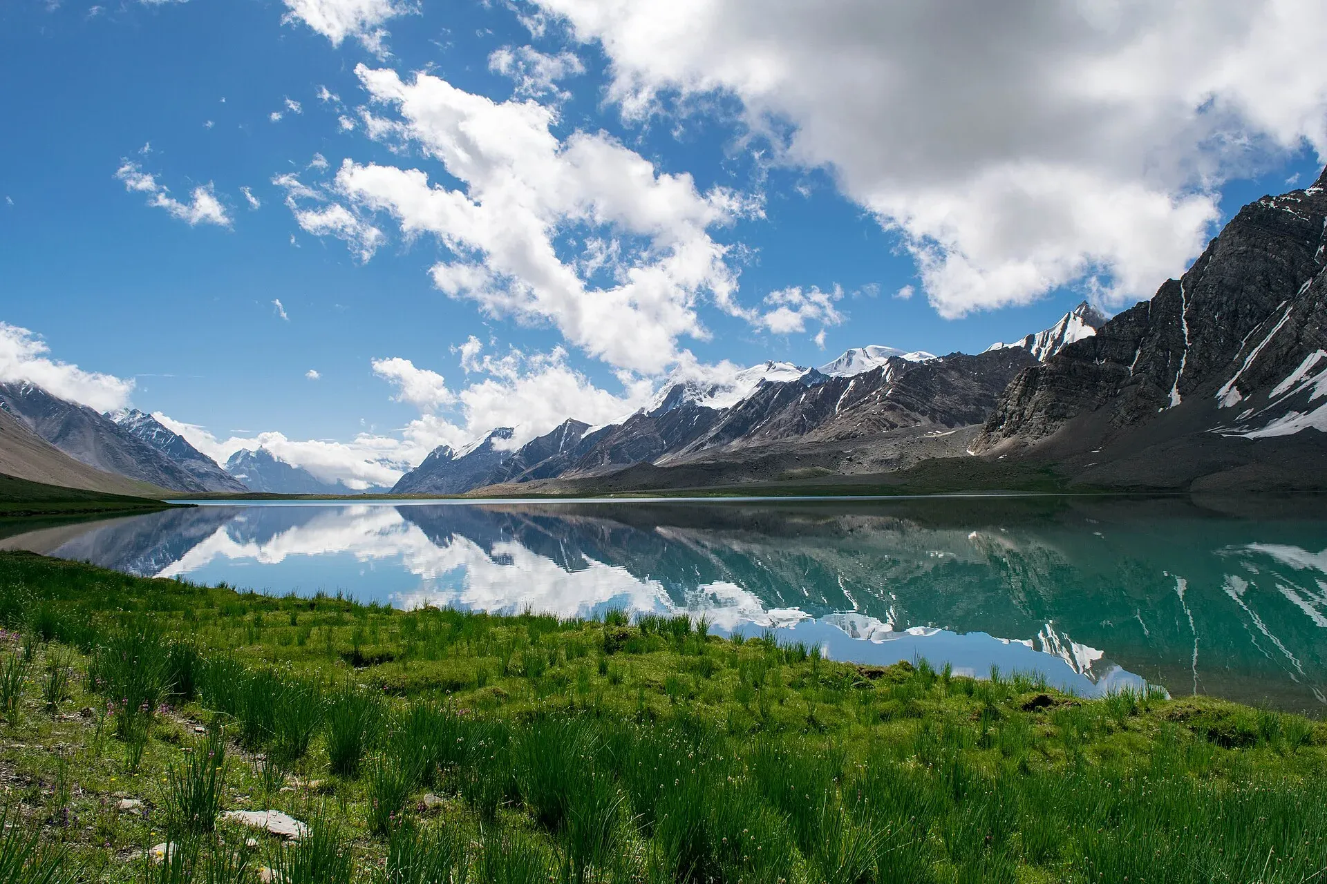
Photo: Talha Mahin Mir, with thanks · CC BY-SA 4.0 · via Wikimedia Commons · temporary stand-in photo

Broghil and Karambar An
- Duration
- 10–12 days
- Distance
- 125.7 km
- Grade
- Moderate
- Max altitude
- 4,320 m
- Season
- Jun – Sep
A 10-day moderate trek up the Yarkhun valley through Broghil's lakes and Wakhi pastures, over the gentle Karambar An (about 4,320 m) beside Karambar Lake and down the Karambar valley to Bort.
Overview
This trek follows the old caravan route up the Yarkhun valley through Broghil, in the far north of Chitral, to Karambar Lake. It then crosses the Karambar An (about 4,320 m) and goes down the Karambar valley in Ishkoman, in Gilgit-Baltistan. Broghil is a high wide valley of green meadows and small lakes, home to Wakhi yak herders. The Karambar An is a gentle crossing across rolling, well-watered grassland, with lakes at the top. The old guide calls it, after the Deosai Plains, Pakistan's largest alpine meadow.
Chinese pilgrims more than 1,000 years ago wrote of a "wild onion" pass on the way south. The Karambar An may be it, since wild onions grow thickly here. The area is now the Broghil Valley National Park, set up in 2010 and covering 1,348 square km, with about 30 lakes and large peat bogs.
Who it suits
The old guide rates this as moderate. Daily walks are long, 5 to 7 hours, but there are no technical sections until you cross the Chattiboi and Karambar glaciers on the way down to Bort. These need a local herder as a guide. The main challenge is altitude: you spend several nights above 3,500 m and reach 4,320 m. Acclimatise slowly. One recent party reported gaining a lot of height in a day without rest and calling it a mistake. This trek is often combined with the Shah Jinali An before it and the Chilinji An and Qalander Uween after it.
When to go
June to September. High water in July and August can block the road near Sholkuch and force you to walk part of the way. In July and August the high-water trail above the river is used at Romenu.
The route
Day 1: Lasht to Kishmanja. Start at Lutgaz (3,048 m), just beyond Lasht. Follow the right bank of the Yarkhun past Zirch, across the Kan Khun Gol fan and over a saddle to the settlement of Romenu. A high-water trail and a low-water trail both lead on, past Ishkore Kunj and a stand of trees, to the Wakhi settlement of Kishmanja (3,300 m).
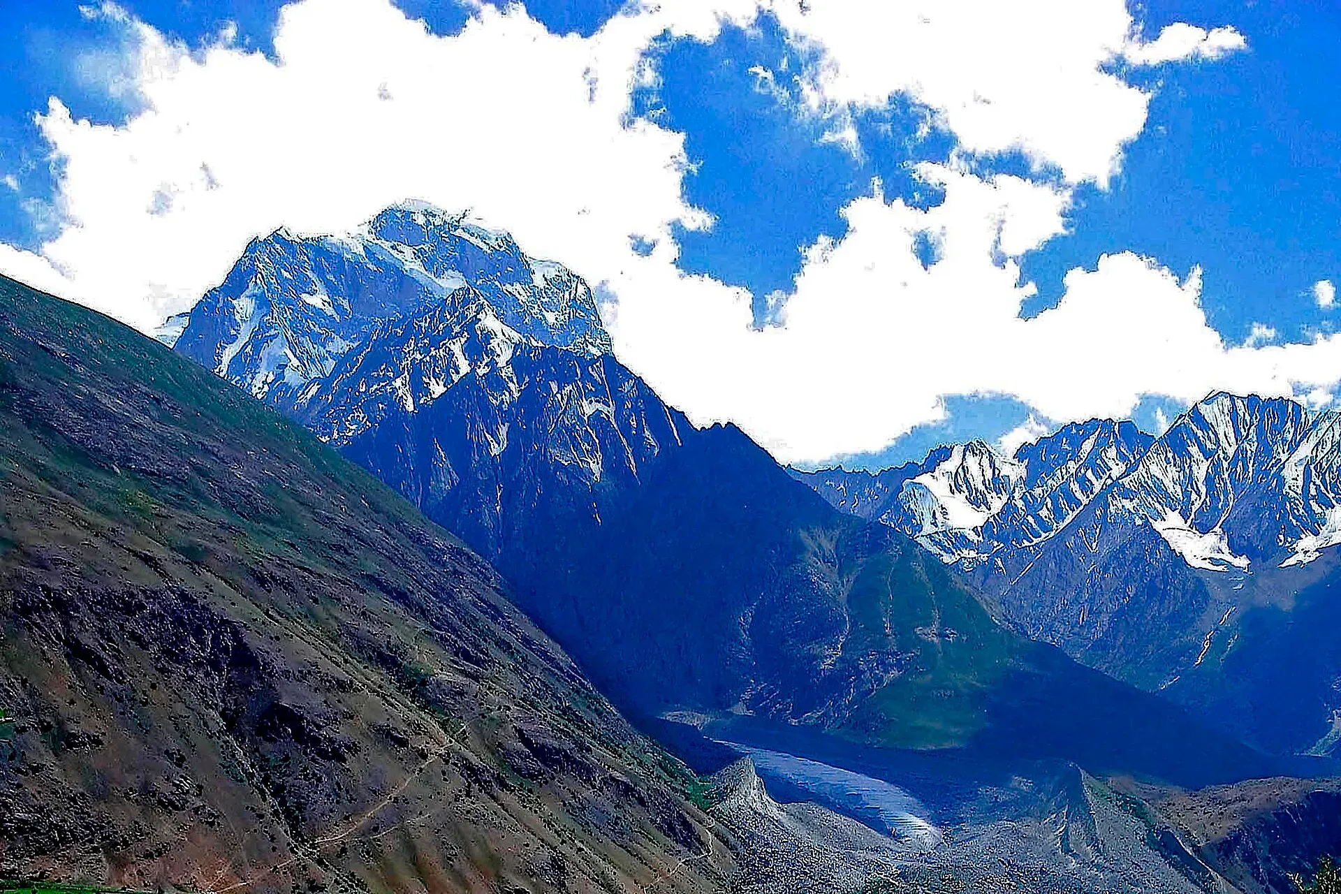
Photo: Pervez Ahmad Khan, with thanks · CC BY-SA 3.0 · via Wikimedia Commons · temporary stand-in photo

Day 2: Kishmanja to Ishkarwaz. Cross the stream by a footbridge and traverse a scree slope. You pass Vidinkot, with a bridge to the hot spring at Garam Chashma (Pechugh), and the huge snout of the Chattiboi Glacier, which calves into the river. Ishkarwaz (3,510 m) has a Chitral Scouts post. The Darkot An trail leaves at a fork before it. A day trip to the Broghil Pass (3,600 m) is possible with permission from the Scouts.
Day 3: Ishkarwaz to Tir-e-Dasht. Pass Chilma Rabot, Garhil and Thin Yupk (a hot spring that flows into a warm lake), and the plain of Lashkargah Goz. Camp at Tir-e-Dasht (3,480 m), by a peat bog. The Darwaza Pass to the Wakhan Corridor is closed to foreigners.
Days 4 to 5: Tir-e-Dasht to Karambar Lake. Climb to the summer settlements of Shuwor Sheer (3,690 m) and Top Khana. Then follow Karambar Chhat up past Qul Quldi, Lale Rabot, Thur Mergich (3,990 m), Boree Mergich and Rabot. A large cairn marks the Karambar An. Camp near the west end of Karambar Lake (4,260 m) and take a rest day.
Days 6 to 10: Karambar Lake to Bort. Descend the Karambar valley, camping at Shuyinj, Sokhter Rabot, Waraghut and Maturamdan. See karambar-an-and-darkot-an for the details, in reverse.
Karambar Lake
Wikipedia gives Karambar Lake as 4,272 m high and about 2.6 sq km, up to 3.9 km long and 2 km wide. That makes it the second largest lake in northern Pakistan by area after Attabad Lake. Glaciers feed it. Its water clarity has been recorded as the highest in the literature on Pakistani lakes, and the surrounding area is protected as Qurumbar National Park (since 2011, a separate park from the Broghil park described above). The lake is in Ishkoman, Ghizer District. Wikipedia gives its depth inconsistently, so no figure is used here.
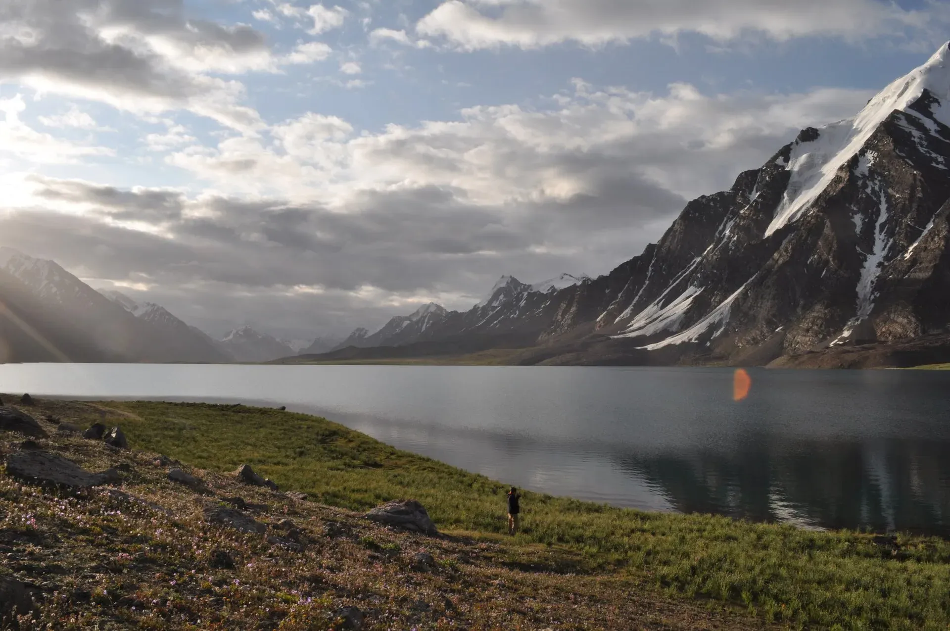
Photo: Omarfarooqhamid, with thanks · CC BY-SA 4.0 · via Wikimedia Commons · temporary stand-in photo

Terrain in order
Grassy river flats and fans with a high-water trail on the Yarkhun (days 1 to 2), a long scree slope before Ishkarwaz, rolling grassland and hot springs (day 3), peat bog at Tir-e-Dasht, then gentle hills and rocky ground to the lake (days 4 to 5). The descent crosses an old moraine and two glaciers, the Chattiboi and Karambar, before the Karambar river valley.
Altitude and fitness
You sleep above 3,300 m from day 1 and reach 4,260 m on day 5. A rest day at the lake helps. The longest days are the 17.9 km walk on day 3 and the long descent on day 9. Break these up if anyone is slow.
Culture and people
Broghil's Wakhi people herd yaks and sheep on the rich grassland, and sell surplus livestock. Dairy products are plentiful. Many also speak Khowar, and some Urdu and Persian. The old guide notes that opium has been a problem in the valley. The Wakhi use the word mergich for the pure, clean places where fairy spirits are said to live. The Karambar valley has Gujar herders and a settlement of Uzbek families at Sokhter Rabot.
Practical information
- Maps. US AMS Mastuj (NJ 43-13) shows the Yarkhun and the Broghil Pass. Baltit (NJ 43-14) shows Broghil and the Karambar An but not the Karambar lakes. Some place names differ.
- Porters. Agree a daily rate with porters, including food, before you set off; current rates will be added soon. That figure is old, so ask for current rates. Hire a nearby herder for the glaciers.
- Permits. Restricted zone near the Afghan border. See below.
- Altitude. Karambar Lake is listed at 4,272 m by Wikipedia and 4,260 m by the old guide.
Highlights
- Broghil Valley National Park, with lakes, peat bogs and Wakhi yak herders
- Karambar Lake (about 4,272 m) at the top of a gentle pass
- Hot springs at Garam Chashma and Thin Yupk
- Old caravan route from the Wakhan to Gilgit
- Crosses from Chitral into Gilgit-Baltistan
Day by day
| Day | Camp | Altitude |
|---|---|---|
| 1 | Kishmanja | 3,300 m |
| 2 | Ishkarwaz | 3,510 m |
| 3 | Tir-e-Dasht | 3,480 m |
| 4 | Thur Mergich or Qul Quldi | 3,990 m |
| 5 | Karambar Lake | 4,260 m |
| 6 | Karambar Lake | 4,260 m |
| 7 | Shuyinj | 3,930 m |
| 8 | Sokhter Rabot | 3,420 m |
| 9 | Maturamdan | 2,895 m |
| 10 | Bort | 2,728 m |
| Day | Route | Hours | Distance | Ascent / descent | Camp and altitude |
|---|---|---|---|---|---|
| Day 1 | Lasht to Kishmanja | 5.5–6.5 h | 16 km | +252 m | Kishmanja, 3,300 m |
Day 1 notesStart at Lutgaz, with its springs and a view of the Shotor Glacier. Follow the right bank of the Yarkhun past Zirch, across the Kan Khun Gol fan, over a small saddle and on to Romenu. Use the high-water trail in July and August. Continue to Ishkore Kunj, through trees and along a scree slope to the Wakhi settlement of Kishmanja. A camping fee is collected here. | |||||
| Day 2 | Kishmanja to Ishkarwaz | 4.5–5.5 h | 12.9 km | +210 m | Ishkarwaz, 3,510 m |
Day 2 notesCross the footbridge east of Kishmanja and traverse a big scree slope. Pass Vidinkot, where a bridge leads to the hot spring at Garam Chashma. View the Chattiboi Glacier snout, then cross to the left bank. Take the left fork at the junction (the right goes to Chikar and the Darkot An). Camp by the Chitral Scouts post. The Broghil Pass (3,600 m) can be visited as a day trip with permission. | |||||
| Day 3 | Ishkarwaz to Tir-e-Dasht | 6–7 h | 17.9 km | +180 m / −210 m | Tir-e-Dasht, 3,480 m |
Day 3 notesCross the footbridge and climb gently to Chilma Rabot. Continue through grassland to Garhil and the level trail to Thin Yupk, where a hot spring flows into a warm lake. Then pass two ponds to the plain of Lashkargah Goz. A short defile leads to the peat bog and camp at Tir-e-Dasht. | |||||
| Day 4 | Tir-e-Dasht to Qul Quldi area | 3–3.5 h | 8 km | +420 m | Thur Mergich or Qul Quldi, 3,990 m |
Day 4 notesClimb rolling hills to Shuwor Sheer (3,690 m) and Top Khana, named after a ruined hilltop fort. The old guide treats days 4 and 5 as one stage of 16.9 km. A good split is a camp near Thur Mergich (3,990 m), about 10 km below the lake. Water is plentiful. | |||||
| Day 5 | to Karambar Lake | 3–3.5 h | 8.9 km | +420 m / −60 m | Karambar Lake, 4,260 m |
Day 5 notesContinue past Boree Mergich and Rabot to a large cairn that marks the Karambar An. Beyond are the western lake, a stream and a larger lake. Camp near the large boulder with stone shelters at the west end of Karambar Lake. | |||||
| Day 6 | Rest day at Karambar Lake | not given | not given | not given | Karambar Lake, 4,260 m |
Day 6 notesRest and explore. It takes 1.25 hours to walk along the north shore. Zhui Sar, a snow peak with a hanging glacier, rises above the south shore. | |||||
| Day 7 | Karambar Lake to Shuyinj | 4 h | 12.4 km | −330 m | Shuyinj, 3,930 m |
Day 7 notesDescend through the grassland and over the old moraine to the meadow beyond the stone footbridge at Shuyinj. See the Karambar An and Darkot An page for the route, in reverse. | |||||
| Day 8 | Shuyinj to Sokhter Rabot | 5–6 h | 14.6 km | −510 m | Sokhter Rabot, 3,420 m |
Day 8 notesCross the Chattiboi Glacier with a local herder. Keep to the cairned trail on the left bank below the cliffs, then follow the broad plain to the camp. | |||||
| Day 9 | Sokhter Rabot to Waraghut and Maturamdan | 9–10 h | 22 km | −525 m | Maturamdan, 2,895 m |
Day 9 notesPass Chilinj, Waraghut and Piyakhin to Maturamdan, the highest year-round village. This day is long and may be split with a camp at Waraghut. | |||||
| Day 10 | Maturamdan to Bort | 4–5 h | 13 km | −167 m | Bort, 2,728 m |
Day 10 notesCross the Karambar Glacier's snout and follow the left bank of the river to Bort. Look for a jeep to Gilgit, but expect to walk to Bilhanz if high water has cut the road. | |||||
Getting there
From Chitral, take a jeep to Mastuj, then a special hire up the Yarkhun valley to Lasht and Lutgaz. In summer high water may block the road near Sholkuch. The old guide says it takes two days to walk between Sholkuch and Lasht, so keep spare time. In Lasht the Shushar Gol sometimes cuts the road, leaving a 45 minute walk to Lutgaz.
The road has been extended in recent years. The Broghil park page mentions a 32 km road built by the Aga Khan Rural Support Programme to Kishmanja and nearby villages, and a 2015 trip report found a jeep track open to Ishkarwaz, though the usual limit is Kishmanja. Check the road with your operator, since it can cut one or two days from the approach.
At the end, jeeps run from Bort or Bilhanz or Imit to Gilgit. In summer high water can close the road at Bilhanz. The walk from Bort to Bilhanz takes four hours. Special hires also run from Bort and Imit, and you can reach a NATCO bus to Gilgit at Chatorkhand.
Permits and rules
- Permit needed
- Yes, Restricted zone
- Fee
- Current fees will be added soon
- Last checked
- 16 November 2026
Zone. Restricted, close to the Afghan border. The old guide says a permit and a licensed guide are required, and that police in Lasht and Imit and the Chitral Scouts at Ishkarwaz may ask to see it.
Chitral. Online and operator sources conflict. Several say an NOC is needed, issued through the DC Office Chitral after Chitral Scouts verify the plan. One 2025 operator listing says no NOC is needed outside restricted zones. KP Tourism launched an online NOC system in July 2025, and the Express Tribune reported on 6 May 2026 that foreigners still need an NOC for Chitral.
Gilgit-Baltistan. The Karambar section is in Ghizer. The GB Tourism Department requires a permit and licensed guide for restricted areas. Current fees will be added soon.
Check with a licensed operator and the offices named above.
How trekking permits, NOCs and registration work: Visa and permits.
Season
Best: Jun – Sep
Water and camps
Streams and springs are frequent on the Broghil and Karambar trails. Kishmanja has a spring. Ishkarwaz has a small spring above the river. Tir-e-Dasht has a peat bog and water. At Karambar Lake the shelters near the large boulder are used by porters. There are good camp sites near the lake's west end. Bring a stove for the highest camps.
Gear and safety
You sleep above 3,500 m for most of the trek and reach 4,320 m. Plan the first days slowly, and take the rest day at the lake. The Chattiboi and Karambar glaciers are tricky and change every year, so hire a herder who knows them. The Yarkhun river can be forded, but in July and August water is high and some fords on the Thin Yupk trail are hard. Avoid the river route there. Weather near the lake can turn quickly. Nearest help is the Chitral Scouts post at Ishkarwaz. There is no phone signal for much of the route.
Ask the district administration or local police about current conditions before you go. For foreign visitors: the UK FCDO advises against all travel on the N-45 from north of the Mardan ring road to the edge of Chitral city, including the Kalash valleys (advice updated 27 October 2026, checked 16 November 2026). Most road routes to Chitral use the N-45. Read the live advice before you plan.
Variations
The trek is often preceded by the Shah Jinali An trek and followed by the Chilinji An and Qalander Uween trek, a traverse of the northern border passes. From Ishkarwaz you can turn to Chikar and cross the Darkot An to Yasin, as described in karambar-an-and-darkot-an. A shorter out-and-back goes to Karambar Lake from Lashkargaz or Ishkarwaz. For another Yarkhun pass, see khot-an.
Tips
- Ask the DC Office Chitral or Chitral Scouts about the current permit before you go.
- Allow extra days for road blocks near Sholkuch and Bilhanz.
- Go up slowly. Rest at Karambar Lake and sleep low where you can.
- Hire a herder from Sokhter Rabot for the glaciers on the way to Bort.
- Carry full supplies from Chitral or Mastuj.
Stay and eat in Mastuj
Mastuj is the nearest town to the trek: somewhere to sleep and stock up before and after.
Places to stay
- Hot Spring Guest HouseCall Hot Spring Guest HouseMap of Hot Spring Guest House in Google Maps
- Noor Mahal GuesthouseCall Noor Mahal GuesthouseMap of Noor Mahal Guesthouse in Google Maps
- Mastuj Hindukash HeightsMap of Mastuj Hindukash Heights in Google Maps
- PTDC Motel -MastujCall PTDC Motel -MastujMap of PTDC Motel -Mastuj in Google Maps
- Al Salah Hotel & Restaurant MastujCall Al Salah Hotel & Restaurant MastujMap of Al Salah Hotel & Restaurant Mastuj in Google Maps
Listings come from Google Maps data and are unverified: phone numbers, opening months and prices may have changed. Report a problem · Own one of these? Claim it
Photos we still need: Kishmanja, Ishkarwaz, the hot springs and the Chattiboi Glacier snout. Send us yours
Health and emergency
Mobile signal is patchy on most treks, so tell someone your plan before you go. Emergency numbers
Sources and last checked
Last checked Confidence low10 sources7 still to check
- Last checked
- Method
- Desk research from published sources
- Confidence
- low
- Checked by
- trek.pk research team
Researched from published sources; not yet checked on the ground by our team. Spot something out of date? Report a mistake.
Sources
- Legacy trek.pk page (text from Lonely Planet, Trekking in the Karakoram and Hindukush, c. 2002; facts only) · trek.pk / Lonely Planet · checked
- Broghil Valley National Park · Wikipedia · checked
- Karambar Lake · Wikipedia · checked
- Trek to Karambar Lake: The complete guide · Destination Pak · checked
- Get NOC for Karambar Lake · Destination Pak · checked
- Broghil Valley tourist guide · Zameen · checked
- Karomber Lake Trek · Apricot Tours · checked
- KP Tourism Department launches online NOC system for foreign tourists · Associated Press of Pakistan · checked
- Senate panel flags hurdles to Chitral tourism (6 May 2026) · The Express Tribune · checked
- Broghil Valley Trek Guide 2025 · GoPleiades · checked
Still to be checked on the ground (7)
- Permit/NOC: the Express Tribune (6 May 2026) says foreigners must obtain an NOC before visiting Chitral, but operators disagree on who issues it and whether it applies outside restricted zones; no official notice found
- Whether jeeps now reach Kishmanja or Ishkarwaz, and the state of the Yarkhun road each summer
- Karambar Lake altitude: 4,260 m (old guide) vs 4,272 m (Wikipedia infobox, rechecked) vs 4,304 m (blog) vs about 4,300 m (operators); no official figure
- Karambar An height: 4,320 m (old guide only)
- Current porter rates (team to supply)
- Day distances and times (old guide only). The old guide gives days 4-5 as one 16.9 km stage and days 6-10 as 62 km over 4 days; the split used here is an estimate
- Karambar Lake depth is inconsistent in Wikipedia (52 m infobox; 55 m maximum and 17 m mean in text)
Nearby and related

Karambar An and Darkot An

Khot An

Ansoo Lake Trail
Darwaza Pass
A border pass from the upper Karambar valley towards the Wakhan Corridor in Afghanistan. Closed to foreigners; information only.
Karambar An
A gentle pass of about 4,320 m beside Karambar Lake, between Broghil in Chitral and the Karambar valley in Ishkoman, Gilgit-Baltistan. Restricted zone near the Afghan border.
Khot An (Khot Pass)
A broad grassy pass of 4,230 m over the Hindu Raj, from Khot Lasht in Turikho to Dizg in the Yarkhun valley. A two-day moderate crossing with a long loose descent.

Broghil Pass
A low, historic pass of about 3,600 to 3,800 m at the head of the Yarkhun valley, linking Upper Chitral with the Wakhan in Afghanistan. A border pass; trekkers visit the Broghil valley, not the pass itself.
Chilinji An
A glaciated pass of about 5,160 m between the Chapursan and Karambar valleys, near the Afghan border. Roped travel, guide and permit needed.
Qalander Uween
A glaciated pass of about 5,220 m just north of Chilinji An, used between Chapursan and Karambar. Roped travel, guide and permit needed.
Garam Chashma (Pechugh), Upper Yarkhun
A hot spring in the upper Yarkhun valley, Upper Chitral, reached by a bridge near Vidinkot on the Broghil trek. Not the Garam Chashma of the Lotkoh valley. Known only from trek and climbing reports.
Thin Yupk Hot Spring
A hot spring that flows into a warm lake on the Yarkhun route to Broghil, in Upper Chitral. Known only from our Broghil and Karambar An trek page.