

Photo: Talha Mahin Mir, with thanks · CC BY-SA 4.0 · via Wikimedia Commons · temporary stand-in photo

Broghil Pass
A low, historic pass of about 3,600 to 3,800 m at the head of the Yarkhun valley, linking Upper Chitral with the Wakhan in Afghanistan. A border pass; trekkers visit the Broghil valley, not the pass itself.
Overview
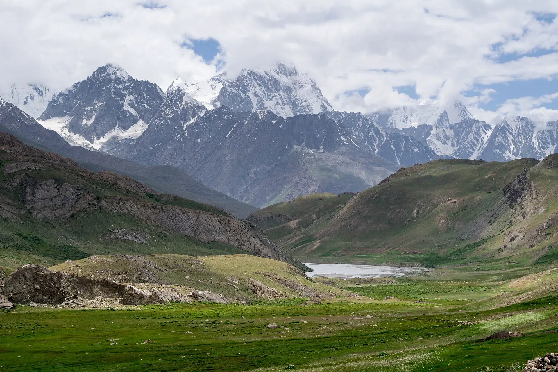
Broghil Pass crosses the Hindu Kush on the Pakistan-Afghanistan border (the Durand Line), from Upper Chitral into the Wakhan. It sits at the head of the Yarkhun valley. Sources give its height as 3,798 m (12,461 ft) and, in an older trekking guide, 3,600 m, so this page uses a range. The nearest Afghan town is Sarhad Broghil. A tributary of the Wakhan River crosses the pass and cuts a narrow ravine.
It is a border pass, so this page gives context rather than a route. The treks nearby go to the Broghil valley and the Karambar An, not over the border. For how it compares with other passes, see mountain passes of Pakistan.
Plan your visit
- Nearest town
- Mastuj (valley base), Ishkarwaz (last post)
- Getting there
Drive from Chitral up the Yarkhun valley through Mastuj to Lasht and Lutgaz, where the road ends in the trekking book. The pass lies further north near Ishkarwaz. Travel is subject to permission. More
Best months
Jun – Sep
- Broghil Pass
- Related places nearby: Broghil Valley National Park, Darkot Pass, Karambar Lake
History and the old trade route
Broghil is one of four major passes into Chitral District. The others are Dorah Pass (from Badakhshan), Shandur Top (from Gilgit) and Lowari Top (from Upper Dir). The name's origin is uncertain. One suggestion is that it comes from two Khowar words meaning "high" and "valley" or "ravine".
The pass is relatively low. Snow shuts it for about three months each winter, but at other times it can be crossed, even with carts. The older trekking book says an old trade route ran up the Yarkhun valley and over the pass to Kashgar and Yarkand, and that as late as 1930 more than 1,000 horse loads crossed it each summer. Writers on the Great Game, such as John Keay in The Gilgit Game, cover the region's wider history.
The valley beyond the road
For visitors, the Broghil valley is the draw. It is protected as Broghil Valley National Park, established in 2010, covering 1,348 km² at the far north of Upper Chitral, about 250 km from Chitral city. Elevations run from about 3,217 m to 5,696 m. The park has around 30 freshwater lakes and almost 3,400 ha of peatlands and lakes, set among glaciers. The people of the valley are Wakhi, with Kyrgyz and Sarikoli communities, who have lived here for hundreds of years. Many communities lack basic services.
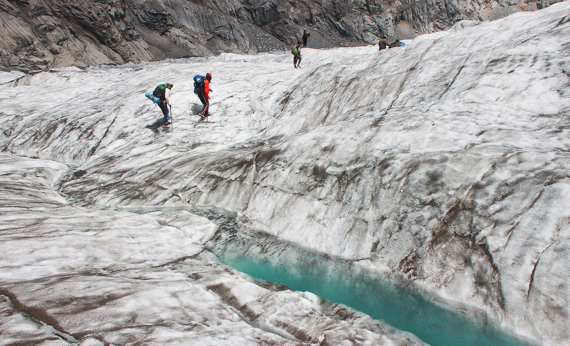
Photo: Hasanzubair89, with thanks · CC BY-SA 3.0 · via Wikimedia Commons · temporary stand-in photo

Wildlife listed for the park includes snow leopard, Siberian ibex, Marco Polo sheep, Himalayan brown bear and golden eagle. An annual Broghil Festival features yak polo, woollen handicrafts, food and music.
The Broghil and Karambar An trek goes up the Yarkhun valley. The trekking book notes you can ask the Chitral Scouts at Ishkarwaz for permission to make a day trip to the pass, with horses from Chilma Rabot or Garhil. That is old advice, and it has not been confirmed that this is still allowed.
When to visit
Snow closes the pass for about three months of winter. The trek pages use June to September for the valley.
Where to stay and eat
Chitral town is the last proper base. In the upper valley you rely on camping.
Getting there
Drive from Chitral up the Yarkhun valley through Mastuj to Lasht and Lutgaz, where the road ends in the trekking book. The pass lies further north near Ishkarwaz. Travel is subject to permission.
Good to know
- Zone. The area is restricted, close to the Afghan border. See the Broghil and Karambar An trek page for permit notes, which are not fully confirmed.
- Ask the district administration or local police about current conditions before you go. Travel advice. For foreign visitors: the UK FCDO (updated 27 October 2026, checked 17 November 2026) advises against all travel within 10 miles of the Pakistan-Afghanistan border and on the N-45 up to the edge of Chitral city.
- Road. The road was being improved as of early 2025, and a March 2025 report covered an agreement to gravel the Wakhan road on the Afghan side. No further detail is known.
- Fees. Permit fees will be added soon.
Highlights
- Historic Central Asian trade route to the Wakhan
- About 3,600 to 3,800 m
- Closed by snow for about three months a year
- Gateway to Broghil Valley National Park (1,348 km², about 30 lakes)
Tips
- Get permission from the Chitral Scouts before heading to the pass
- Use a licensed operator for the Broghil valley trek
- Check the border rules before you plan
Photos we still need: Broghil Pass itself, or the Yarkhun valley road to Lasht. Send us yours
Sources and last checked
Last checked Confidence medium4 sources3 still to check
- Last checked
- Method
- Desk research from published sources
- Confidence
- medium
- Checked by
- trek.pk research team
Researched from published sources; not yet checked on the ground by our team. Spot something out of date? Report a mistake.
Sources
- Broghil Pass (Wikipedia) · Wikipedia · checked
- Trekking in the Karakoram and Hindukush (Yarkhun valley and Broghil) · Lonely Planet (owner book, ~2002) · checked
- Pakistan travel advice: warnings and insurance (updated 27 October 2026) · UK FCDO · checked
- Broghil Valley National Park · Wikipedia · checked
Still to be checked on the ground (3)
- Height (3,600 m vs 3,798 m): the 3,798 m figure has no cited source; no better source found
- Whether day visits to the pass are currently allowed (only old advice from the trekking book)
- Permit rules (no official source found)
Nearby and related

Broghil and Karambar An

Karambar An and Darkot An

Broghil Valley National Park
A remote high valley at the northern tip of Chitral beside the Wakhan Corridor, with about 30 lakes, glaciers, Wakhi and Kyrgyz communities and rare wildlife. Reached only by a long mountain drive.

Darkot Pass
A glaciated pass of about 4,650 to 4,703 m between the upper Yarkhun valley in Chitral and Darkot in Yasin. Technical, restricted-zone and crossed in summer.
Karambar Lake
A large, very clear glacial lake at about 4,272 m at the top of the Karambar valley in Ishkoman, near the Afghan border. It has no road and is reached on multi-day treks over or beside the Karambar An.

Chitral Valley
The long Chitral River valley at the foot of the Hindu Kush, with Chitral town's fort and Shahi Mosque, the Lowari Tunnel route, Tirich Mir views and side valleys leading to Kalash and Shandur.