

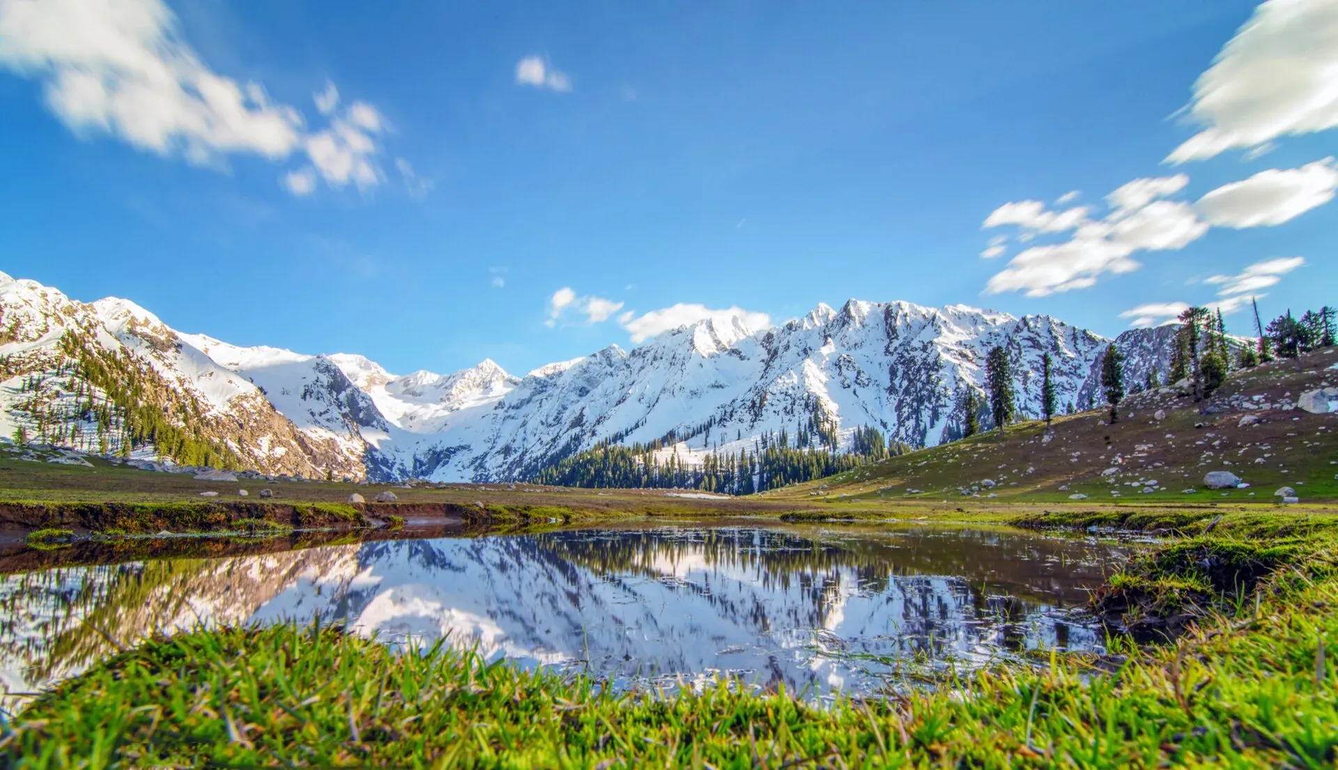
Photo: Shahbaz Aslam, with thanks · CC BY-SA 4.0 · via Wikimedia Commons · temporary stand-in photo

Jahaz Banda Day Hike
- Duration
- 1 day
- Distance
- 6 km
- Grade
- Moderate
- Max altitude
- 3,100 m
- Season
- Jun – Oct
A day hike to the large Jahaz Banda meadow (about 3,100 m) above Kumrat Valley in Upper Dir. Jeeps reach part of the way; the walk from the Taki Banda jeep point is about 6 km and 3 to 4 hours up.
Overview
Jahaz Banda ("ship meadow") is a large meadow at about 3,100 m in the upper part of Kumrat Valley, Upper Dir. Wikipedia describes snow-capped mountains, tall trees and green pastures. It is also the usual route to Katora Lake, which needs a longer trek.
Who it suits
Hikers of ordinary fitness. It is a long day if you walk all of it. Jeeps shorten the walk, so it can suit families if you hire a vehicle to the high drop-off.
When to go
June to October. Snow lingers into early summer, and roads and bridges may be damaged by floods. Check conditions in Thall or Kumrat.
The route
From Thall, drive up Kumrat Valley. Wikipedia describes the road via Darwaza and Lamoti, an unpaved jeep road to Jandrai, then a walk to the meadow. Other sources describe a jeep to Taki Top, then the hike. One travel blog gives about 6 km each way from the Taki Banda trailhead (12 km return), taking about 3 to 4 hours up and 2 to 4 hours down. It puts the trailhead 16 km from Thall, about 1.5 hours by 4WD jeep on a rough road. These are not official figures. There is no known timing for the Jandrai route. The path crosses forest, then opens onto the large meadow.
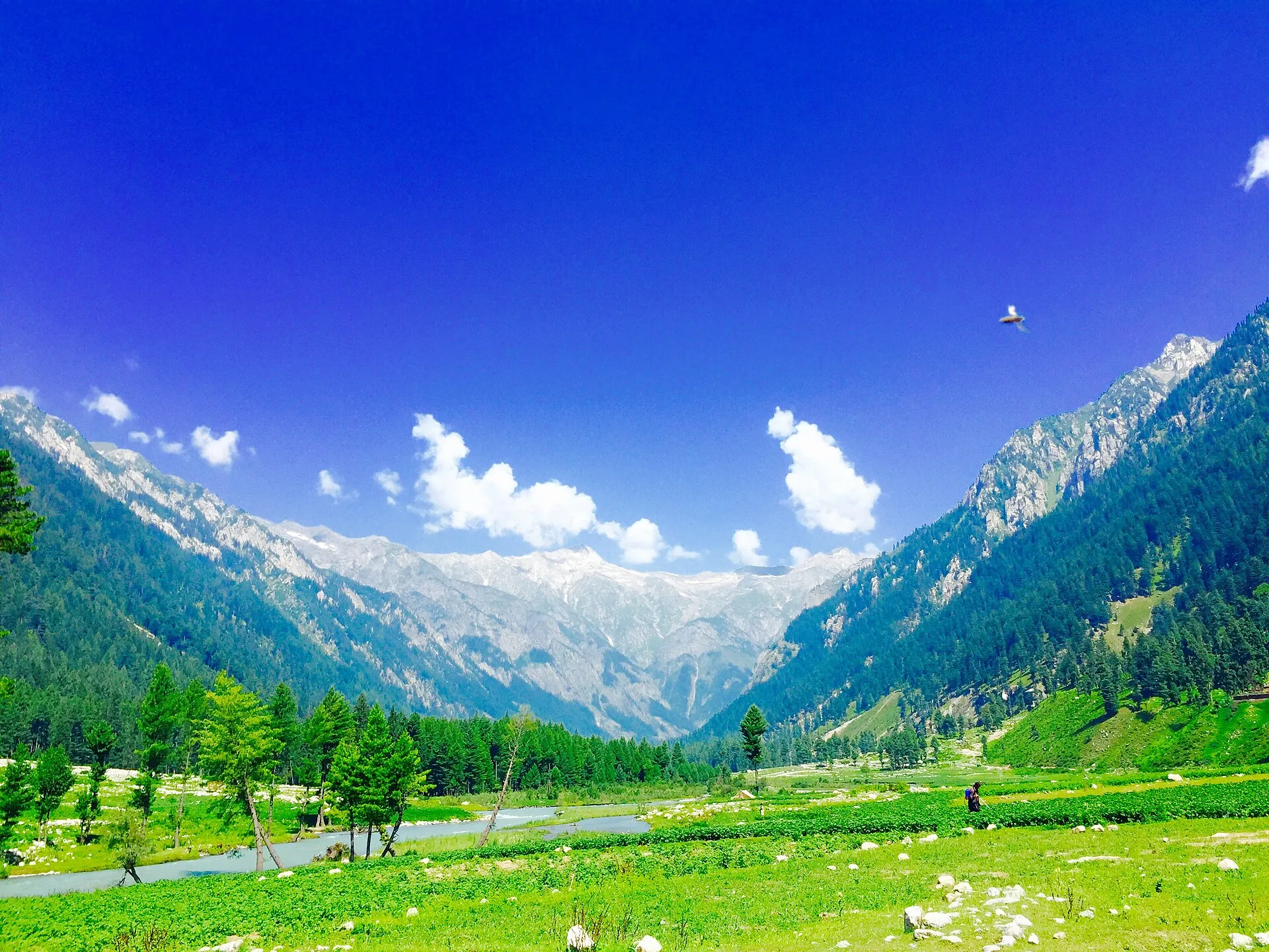
Photo: Haris akhon, with thanks · CC BY-SA 4.0 · via Wikimedia Commons · temporary stand-in photo

From Islamabad, OSRM measures about 375 km to Thal, the usual base, and about 383 km to the Kumrat valley (see the Kumrat Valley road trip); the OSRM time of about 5 hours is a minimum, and agency pages quote about 9 hours.
Terrain and conditions
One trekking site describes the road beyond Thall as a narrow, rough jeep track along the Panjkora River, through deodar (Himalayan cedar) and pine, with steep drops to the river. It says a high-clearance 4x4 and an experienced driver are needed. The walk is on shepherd trails through forest, muddy and covered in needles, gaining about 700 m, with side streams for water. Snow patches can last into late June. Where the forest ends, around 3,100 m, the meadow is open, wind-exposed grassland with meltwater streams.
On the same site's account, the jeep track is generally usable from late June to October, wildflowers peak in July, and the valley is inaccessible in winter. It advises leaving the jeep point by about 9 am to reach the meadow in early afternoon. Afternoon cloud and sudden winds are common on the open meadow, and nights can be near freezing even in July.
Preparation and facilities
- Thall is the last town with reliable supplies and jeep and guide hire, and has basic guesthouses. The nearest ATM is in Dir, so carry cash.
- There are no permanent shops or toilets at the meadow, and seasonal tea stalls in July are unreliable. Bring your own food and water treatment.
- Livestock use the water sources, so boil or filter water.
- There is no mobile signal in Kumrat or at the meadow. Tell someone your plan before you start.
- Wear boots with grip for the muddy forest section and carry a windproof layer.
Culture and people
Upper Dir communities are conservative and welcoming. Dress modestly, ask before photographing, and use local guides and jeep drivers. Kumrat has little mobile signal.
Practical information
- Hire a local guide.
- Take food and water; there are few shops.
- Official advice for foreign travellers to Upper Dir may restrict access; check before travel.
Highlights
- Large meadow at about 3,100 m
- Forest walk above Kumrat
- Gateway to Katora Lake
- Jeep access shortens the walk
Day by day
- StartJeep drop-off (Taki Top or Jandrai)
- Day 1Jahaz Banda
| Day | Route | Hours | Distance | Ascent / descent | Camp and altitude |
|---|---|---|---|---|---|
| Day 1 | Jeep drop-off to Jahaz Banda | 3–4 h (up) | 6 km | not given | not given |
Day 1 notesDrive to the end of the jeep track, then walk through forest and over open slopes to the meadow. The final section opens out into wide grassland. Rest and return by the same route. | |||||
Getting there
Drive from Peshawar or Islamabad to Dir, then to Thall (the gateway to Kumrat). From Thall continue up the valley by road, then by jeep to the high drop-off. Most visitors hire a local jeep.
Permits and rules
- Permit needed
- Usually not, Open zone
- Fee
- Current fees will be added soon
- Last checked
- 16 November 2026
Foreign visitors may need a no-objection certificate (NOC) for Upper Dir; check with the KP tourism or district administration before you go. Fees are unconfirmed; current fees will be added soon.
How trekking permits, NOCs and registration work: Visa and permits.
Season
Best: Jun – Oct
Water and camps
Streams in the valley; treat water. Local people offer camps near Kumrat.
Gear and safety
Travel advisory
Upper Dir has had official travel advisories for foreigners. Check current government advice and carry your NOC if needed.
Weather
Storms and cold nights at altitude.
Roads
Flood damage can cut jeep tracks.
Ask the district administration or local police about current conditions before you go. For foreign visitors: the UK FCDO advises against all travel to Upper Dir (advice updated 27 October 2026, checked 16 November 2026). Read the live advice before you plan.
Variations
Continue to Katora Lake (2 to 3 days total) with a guide, or visit Kala Chashma and the Kumrat waterfall.
Tips
- Check foreign-traveller rules before you go
- Start early
- Carry warm layers
- Take a local guide
Photos we still need: the forest trail and the meadow itself from the trail (hero shows the meadow). Send us yours
Health and emergency
Mobile signal is patchy on most treks, so tell someone your plan before you go. Emergency numbers
Sources and last checked
Last checked Confidence medium6 sources6 still to check
- Last checked
- Method
- Desk research from published sources
- Confidence
- medium
- Checked by
- trek.pk research team
Researched from published sources; not yet checked on the ground by our team. Spot something out of date? Report a mistake.
Sources
- Jahaz Banda · Wikipedia · checked
- Jahaz Banda: where the Kumrat forest breaks · Nature Explorer · checked
- Pakistan Tourism Guide 2021 · TDAP · checked
- Pakistan treks and mountain ranges (trek.pk research report) · trek.pk research · checked
- OSRM driving route service: road distances and times measured 16 November 2026 (driving only, optimistic on mountain roads) · OSRM / OpenStreetMap contributors · checked
- Jahaz Banda and Katora Lake: what you need to know in 2026 · Explore Travel Oasis (travel blog) · checked
Still to be checked on the ground (6)
- Which jeep drop-off is used now (Wikipedia: Darwaza, Lamoti, Jandrai; operators and one 2026 blog: Taki Banda or Taki Top). Jandrai walking time not found
- Walking time of 3 to 4 hours up from Taki Banda comes from one travel blog only
- NOC and advisory for foreigners
- Road conditions after floods
- Nature Explorer says no permit is required; our permit note says an NOC may be needed for foreigners in Upper Dir. Confirm with KP tourism
- Nature Explorer gives 3 to 5 hours for the forest climb (about 700 m) from the Jahaz Dand jeep point, which differs from the blog figure of 3 to 4 hours from Taki Banda; the jeep points may not be the same
Nearby and related

Katora Lake Trek from Kumrat

Ansoo Lake Trail

Bashigram Lake Trail

Jahaz Banda
A large high meadow at about 3,100 m in the upper Kumrat Valley, Upper Dir, reached by a rough jeep road and a walk. UK travel advice is against all travel to Upper Dir.

Kumrat Valley
The upper Panjkora valley in Upper Dir, known for deodar forest, the Jahaz Banda meadow and Katora Lake. Access has been cut by floods and a collapsed bridge in 2025 and 2026.
Katora Lake
An alpine glacial lake at about 3,500 m above Jahaz Banda in the Kumrat valley, Upper Dir. A trek of several hours from the end of the jeep road.

Thalo Pass
A long high crossing between Kumrat in Upper Dir and Laspur in Upper Chitral, advertised by operators. Needs a local guide; route details and height are not verified.