

Photo: Jehan Sher, with thanks · CC BY-SA 4.0 · via Wikimedia Commons · temporary stand-in photo

Katora Lake Trek from Kumrat
- Duration
- 2–3 days
- Grade
- Moderate
- Max altitude
- 3,500 m
- Season
- Jul – Sep
A two to three day trek from Thal in Kumrat, Upper Dir, to Katora Lake at about 3,500 m, camping at Jahaz Banda on the way. The lake is about 4.5 km beyond the Jahaz Banda meadow.
Overview
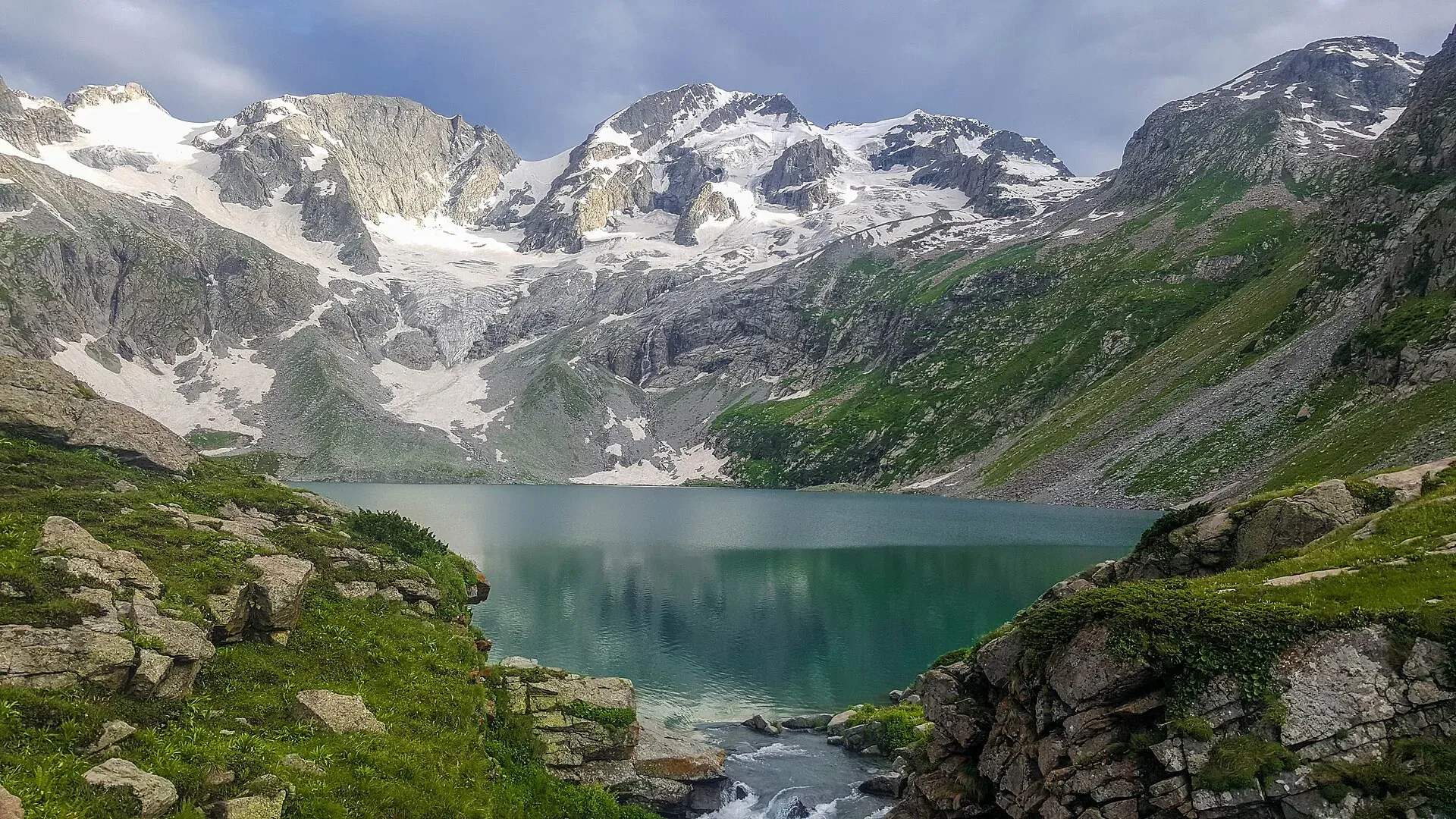
Katora Lake is an alpine glacial lake at 3,500 m (11,500 ft) in the upper reaches of Jahaz Banda, in the Kumrat valley of Upper Dir. Wikipedia says "Katora" means "bowl" in Pashto and that the lake is named for its shape. Snowmelt from the glaciers around it feeds the lake.
The walk to the lake is the second stage of a route that begins with the Jahaz Banda Day Hike. This page covers the extra stage from the meadow to the lake and the usual two to three day schedule. For the jeep track, the forest climb and the meadow itself, see that page.
Getting to the start
Kumrat is in Upper Dir, reached from Dir. Thal (Thall) is the last town with supplies and jeep hire. From Thal, 4x4 jeeps climb a narrow, rough track beside the Panjkora River to Taki Top (also Takai Banda). One travel blog puts the jeep point 16 km from Thal and about 1.5 hours away. Our place page for the lake reports a ride of two to three hours. An operator itinerary says the jeeps run from Thal to Kumrat and then on to Takai Banda, which it describes as the start of the trek.
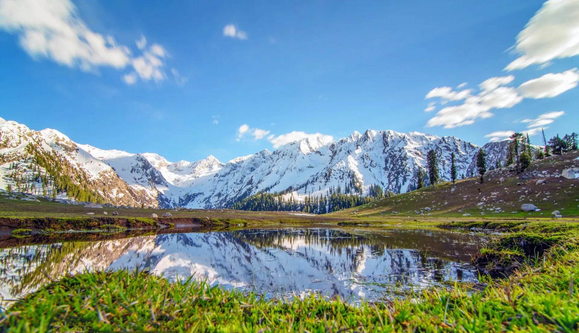
Photo: Shahbaz Aslam, with thanks · CC BY-SA 4.0 · via Wikimedia Commons · temporary stand-in photo

The route
Taki Top to Jahaz Banda. The path climbs through forest and onto open slopes to the meadow at about 3,100 m. An operator says this takes about 3 hours. A travel blog gives about 6 km and 3 to 4 hours for the same stretch. Camp at the meadow.
Jahaz Banda to Katora Lake. The lake is about 4.5 km beyond the meadow. Times vary: an operator says 3 to 4 hours through alpine meadows, reaching the lake at about 11 am after a 6 am breakfast, and other trekkers report from 1.5 hours to 4 hours one way. Operators note that the final stretch is steep. Most groups return to Jahaz Banda the same day.
Return. Walk down to Taki Top, then take a jeep to Thal.
One operator's schedule
One operator lists four days from Islamabad: day 1 drive to Kumrat, day 2 jeep to Takai Banda and walk to Jahaz Banda, day 3 Katora Lake and back to Jahaz Banda, day 4 walk down and drive to Islamabad. This is an operator claim, not a verified schedule. Treat the walking times as estimates.
When to go
July to September is the practical window. Snow can cover the upper trail and the lake into July, and the jeep track can close after rain. The Jahaz Banda page gives June to October for the meadow.
Practical information
- Go with a local guide. The trail is not signed.
- The lake is above 3,500 m. Spend the night at Jahaz Banda to acclimatise.
- Carry tents, food and water treatment. There are no facilities at the lake. Guesthouses and camps are found in Thal and Kumrat.
- Fees for jeeps, camping and guides are set locally. Current fees will be added soon.
Highlights
- Glacial lake at about 3,500 m in a bowl-shaped basin
- Camp at the Jahaz Banda meadow on the way
- Forest, meadow and alpine terrain in the upper Kumrat valley
Day by day
- StartTaki Top (Takai Banda), the end of the jeep track above Thal
- Day 1Jahaz Banda
- Day 2Katora Lake
- Day 3Thal
| Day | Route | Hours | Distance | Ascent / descent | Camp and altitude |
|---|---|---|---|---|---|
| Day 1 | Thal to Jahaz Banda | jeep 1.5 to 3, walk about 3 to 4 | not given | not given | Jahaz Banda, 3,100 m |
Day 1 notesTake a 4x4 jeep from Thal up the Kumrat valley to Taki Top, then walk through forest and onto the open meadow of Jahaz Banda. Camp at the meadow. | |||||
| Day 2 | Jahaz Banda to Katora Lake and back | 1.5–4 h each way | 9 km | not given | Katora Lake, 3,500 m |
Day 2 notesWalk about 4.5 km through alpine meadow to the lake. The last stretch is steep. Spend time at the shore and return to camp at Jahaz Banda. | |||||
| Day 3 | Jahaz Banda to Thal | 2–4 h down | not given | not given | Thal |
Day 3 notesWalk down to Taki Top and take the jeep back to Thal. | |||||
Getting there
Drive from Islamabad to Dir (a long day) and on to Thal in the Kumrat valley. From Thal, hire a 4x4 jeep to Taki Top, a ride reported at 1.5 to 3 hours. There is no public transport beyond Thal.
Permits and rules
- Permit needed
- Usually not, Open zone
- Fee
- Current fees will be added soon
- Last checked
- 17 November 2026
Foreign visitors may need a no-objection certificate (NOC) for Upper Dir: check with KP Tourism or the district administration. Fees are unconfirmed; current fees will be added soon.
How trekking permits, NOCs and registration work: Visa and permits.
Season
Best: Jul – Sep
Water and camps
Camp in tents at the Jahaz Banda meadow, which has side streams. Guesthouses, huts and camps are found in Thal and Kumrat. Treat all water.
Gear and safety
Altitude and weather
The lake is above 3,500 m. Afternoon cloud, sudden wind and near-freezing nights are reported on the meadow even in July.
Track
The jeep track is narrow and rough with steep drops to the river. Use a high-clearance 4x4 and an experienced driver. Flood damage can cut it.
Steep final section
Operators note that the last stretch to the lake is steep and not for small children.
Ask the district administration or local police about current conditions before you go. For foreign visitors: the UK FCDO advises against all travel to Upper Dir (advice updated 27 October 2026, checked 17 November 2026). Read the live advice before you plan.
Variations
Wikipedia lists Katora among the lakes near Kundol Lake in Swat. See Kundol Lake Hike for that side.
Tips
- Hire a 4x4 and driver in Thal
- Camp at Jahaz Banda for the night before the lake
- Go with a local guide
- Start early for the steep final stretch
Photos we still need: the trail between Jahaz Banda and Katora Lake. Send us yours
Health and emergency
Mobile signal is patchy on most treks, so tell someone your plan before you go. Emergency numbers
Sources and last checked
Last checked Confidence low4 sources7 still to check
- Last checked
- Method
- Desk research from published sources
- Confidence
- low
- Checked by
- trek.pk research team
Researched from published sources; not yet checked on the ground by our team. Spot something out of date? Report a mistake.
Sources
- Katora Lake · Wikipedia · checked
- Katora Lake trek (operator itinerary, labelled as operator claims; no prices used) · Apricot Tours · checked
- Jahaz Banda Day Hike (trek.pk page, travel blog figures) · trek.pk · checked
- Pakistan travel advice · UK FCDO · checked
Still to be checked on the ground (7)
- Time and distance from Jahaz Banda to the lake: about 4.5 km; 1.5 to 4 hours one way depending on the source
- Jeep time from Thal to Taki Top: 1.5 hours (one blog) or 2 to 3 hours
- Whether the Jandrai route on Wikipedia reaches the same meadow
- Camps between Jahaz Banda and the lake
- NOC and permit rules for Upper Dir
- Fees for jeeps, camping and guides
- Number of days and distances are estimates
Nearby and related

Jahaz Banda Day Hike

Ansoo Lake Trail

Bashigram Lake Trail

Katora Lake
An alpine glacial lake at about 3,500 m above Jahaz Banda in the Kumrat valley, Upper Dir. A trek of several hours from the end of the jeep road.
Jahaz Banda
A large high meadow at about 3,100 m in the upper Kumrat Valley, Upper Dir, reached by a rough jeep road and a walk. UK travel advice is against all travel to Upper Dir.

Kumrat Valley
The upper Panjkora valley in Upper Dir, known for deodar forest, the Jahaz Banda meadow and Katora Lake. Access has been cut by floods and a collapsed bridge in 2025 and 2026.

Dir
The old capital of the princely state of Dir, on the Dir River at the foot of the Lowari Pass, with a palace on the hill above. A stop on the road between Peshawar and Chitral.