

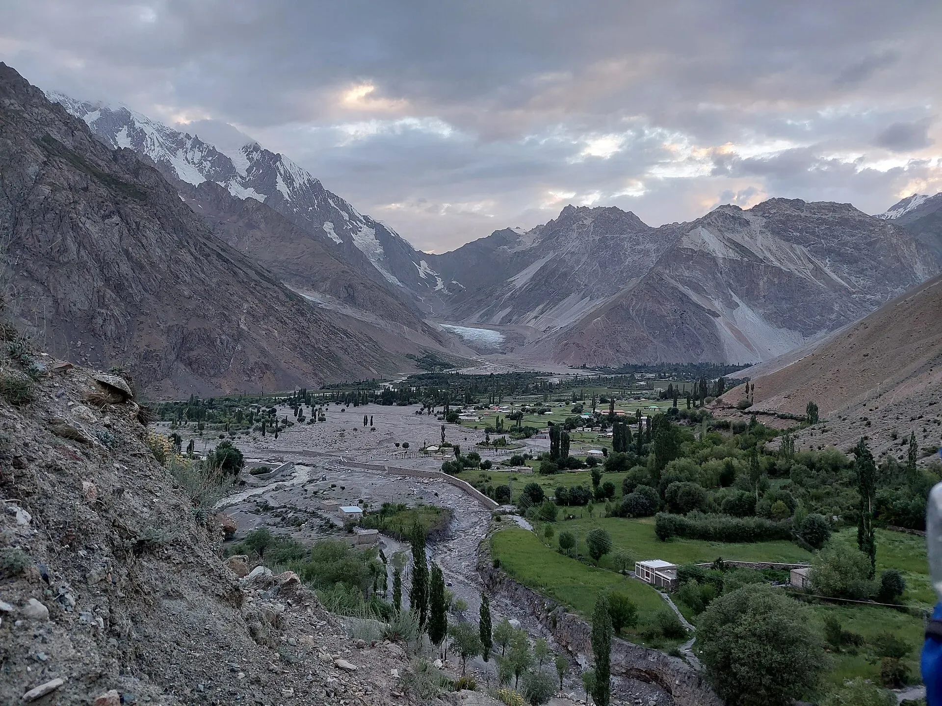
Photo: Shakeelgilgity, with thanks · CC BY-SA 4.0 · via Wikimedia Commons · temporary stand-in photo

Punji Pass
A Hindu Raj pass of about 4,680 m between Darkot in Yasin and Ghotulti in Ishkoman, with a small glacier. Four-day trek; also called Iskhoman Haghost.
Overview
The Punji Pass crosses the Hindu Raj between Darkot at the head of the Yasin valley and Ghotulti in Ishkoman. It is named after a punji, a cairn in Burushaski, that stands about 2.25 km west of the pass and 350 m below it. That cairn marks the highest possible camp on the western side. Darkot villagers call the pass Iskhoman Haghost. Maps may label it Iskhuman Aghost or Panji and show a second pass, but our trek page says there is only one. Some people call the Asumbar Haghost the Iskhoman Pass, which causes confusion.
Height. About 4,680 m (guidebook and Hunza Guides Pakistan). A 2016 blog gives 4,587 m. No survey figure was found.
The pass is in the Hindu Raj, in Ghizer District. Heights on this page come from our own trek pages and the sources listed below. No official survey figure is published.
Plan your visit
- Nearest town
- Darkot
- Getting there
There is no road over the pass. See the trek pages below for the roadheads at each end. More
Best months
Jul – Sep
- Punji Pass
- Related places nearby: Yasin Valley, Ishkoman Valley, Darkot Pass
Either side of the pass
West: Darkot and the Yasin valley. Yasin lies about 148 km from Gilgit (Wikipedia). Its main languages are Burushaski and Khowar, and most residents are Ismaili. The valley was once the administrative centre of Worshigum under the Khushwaqt dynasty of Chitral; Dogra forces invaded in 1863 and the British took control in 1895. The Darkot Pass, a different and harder glacier crossing from the same village, is about 4,570 m and is now a restricted zone. See Yasin Valley and Darkot Pass.
East: Ghotulti and Ishkoman. Ishkoman is a valley of 2,100 to 3,700 m where Shina, Khowar, Burushaski and Wakhi are spoken. Ghotulti (2,484 m) is where the road starts. See Ishkoman Valley.
Crossing the pass
A demanding four-day trek from Darkot (2,760 m) to Ghotulti. The full route is on the Punji Pass trek page. In outline, from the trek page:
- Day 1: Darkot to Boimoshani (3,960 m). A climb of 1,200 m over about 9.6 km, past the villages of Gartens, Gamelti, Sawarey and Mardain, across a footbridge near the meeting of the Nyu Bar and Hanisar Bar valleys and up bare scree to a camp among willows near a spring. If you are not acclimatised, split the day.
- Day 2: Boimoshani to Holojut (3,870 m). Thyme and wildflower slopes lead to the highest possible camp (4,250 m) and its cairn, then moraine to the glacier edge at about 4,410 m. Cross the small glacier on its right-hand (south) side, where the slope is gentler; the left side is steep and exposed to rock fall. The upper glacier is not crevassed, so rope and crampons are optional in summer, though an ice axe is sensible early in the season. After the pass the descent is over shale, snowfields and switchbacks to a meadow with a cold spring.
- Day 3: Holojut to Handis (2,930 m). A long 17.7 km descent through juniper and birch along the Baru Gah river, past the high summer settlements of Talas, Babusar and Galtir. There is no water between Galtir and Handis.
- Day 4: Handis to Ghotulti. A short walk through fields above the river gorge. A stone-walled shrine to a saint stands just above Ghotulti.
Terrain underfoot
Dusty stony hillside, scree and a footbridge on the first day; meadow, moraine, a glacier and snowfields on the second; a long steep descent and a river valley on the third; a field path above a gorge on the fourth.
When to go
July to September. Snow can remain on the pass and glacier into July.
Getting there
There is no road over the pass. See the trek pages below for the roadheads at each end. Wikipedia describes the Yasin approach from Islamabad as the Karakoram Highway, then a left turn towards Gupis on the Shandur road, across the China Bridge over the Ghizer River and on to the valley.
Permits and safety
Open zone in Gilgit-Baltistan. Dawn reported on 29 March 2026 that foreign visitors to open-zone areas do not need a trekking permit, while permits from the GB Tourism Department are needed only for treks and climbs in restricted zones. Fee rules were disputed in 2025 (Dawn, 29 April 2025). Current fees will be added soon; check with the GB Tourism Department or a registered operator before you go.
Security. The UK FCDO's Pakistan page (updated 27 October 2026) does not list Ghizer among the areas it advises against, but read the live advice before you plan.
Treks that cross it
Highlights
- A Hindu Raj pass of about 4,680 m between Darkot in Yasin and Ghotulti in Ishkoman, with a small glacier
Tips
- Confirm the height and route with a local guide or operator before you go
- Check current permit and NOC rules before booking
Photos we still need: the pass itself, the small glacier and the Holojut meadow; Ghotulti and the Baru Gah valley. Send us yours
Sources and last checked
Last checked Confidence medium5 sources4 still to check
- Last checked
- Method
- Desk research from published sources
- Confidence
- medium
- Checked by
- trek.pk research team
Researched from published sources; not yet checked on the ground by our team. Spot something out of date? Report a mistake.
Sources
- Punji Pass (legacy trek.pk page from Lonely Planet text, c. 2002; facts only) · trek.pk / Lonely Planet · checked
- Asumbar and Punji Pass trek · Hunza Guides Pakistan · checked
- Yasin Valley · Wikipedia · checked
- GB tourism stakeholders trade blame as permit fees remain undecided · Dawn · checked
- Pakistan travel advice · UK FCDO · checked
Still to be checked on the ground (4)
- Pass height: 4,680 m (guidebook, Hunza Guides Pakistan) or 4,587 m (2016 blog); no survey figure
- Glacier condition and need for crampons this season
- Jeep and bus times from Gilgit and Ghotulti
- Pass coordinates not found; shown at the Yasin valley centre used on this site.
Nearby and related

Punji Pass

Asumbar Haghost

Thui An

Other treks in Ghizar

Pakora Pass
Yasin Valley
A high Hindu Kush valley in northern Ghizer, reached by road from Gupis, with Burusho villages, the Thui and Darkot routes and Darkot village at its head.

Ishkoman Valley
A quiet glacier and trout valley north of Gahkuch in Ghizer, with Chatorkhand, Dain waterfall, Phakora and the road end at Imit, and treks towards Yasin, Naltar and Karambar Lake.

Darkot Pass
A glaciated pass of about 4,650 to 4,703 m between the upper Yarkhun valley in Chitral and Darkot in Yasin. Technical, restricted-zone and crossed in summer.