

Photo: Akbar Khan Niazi, with thanks · CC BY-SA 3.0 · via Wikimedia Commons · temporary stand-in photo

Patundas
- Duration
- 3 days
- Distance
- 21.8 km
- Grade
- Technical
- Max altitude
- 4,100 m
- Season
- Jun – Sep
A three-day climb from Passu over the Passu Glacier to the alpine ridge of Patundas (about 4,100 m), with views of the Batura, Passu and Hispar peaks. The glacier crossing needs a local guide and basic ice skills.
Overview
Patundas is a high pasture on the ridge between the Passu and Batura glaciers. It belongs to the villagers of Ghulkin, who keep a cluster of huts and pens here. From the viewing platform behind the huts you look down on the Batura Glacier. Kuk Sar I (6,943 m) and II (6,925 m) rise at its head. East of the Hunza River you can see Destaghil Sar, Momhil Sar (7,343 m), Kanjut Sar (7,760 m) and Trivor (7,728 m). To the west, at the head of the Passu Glacier, is Shispare (7,611 m).
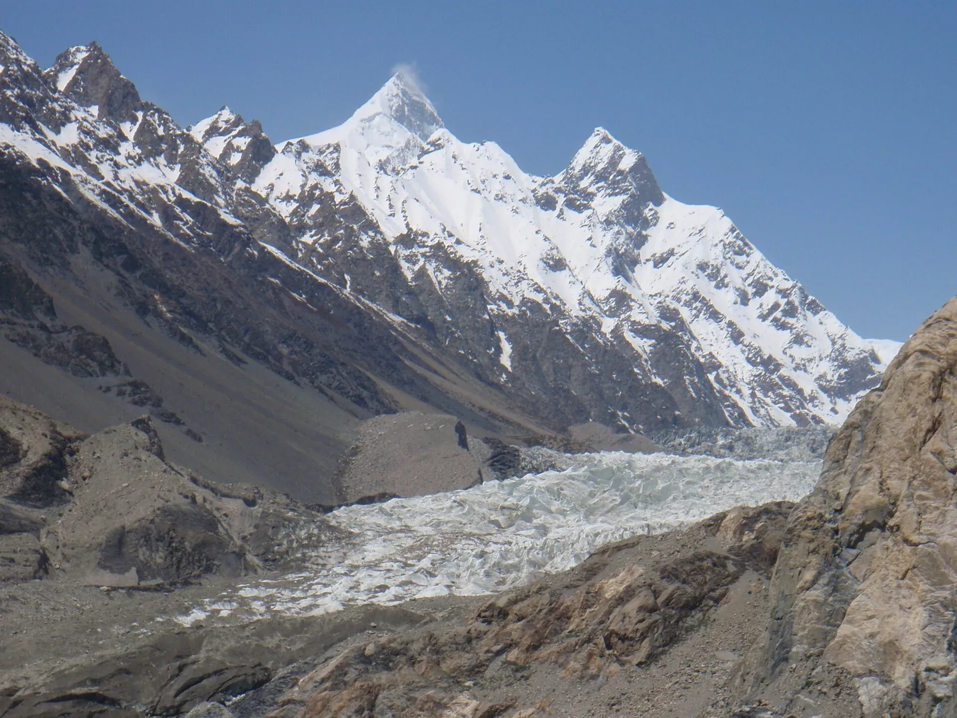
Photo: Raki_Man, with thanks · CC BY 3.0 · via Wikimedia Commons · temporary stand-in photo

The route climbs about 1,700 m in two days and crosses the Passu Glacier. It is shorter than most Karakoram treks, but harder than the numbers suggest.
The glaciers beneath
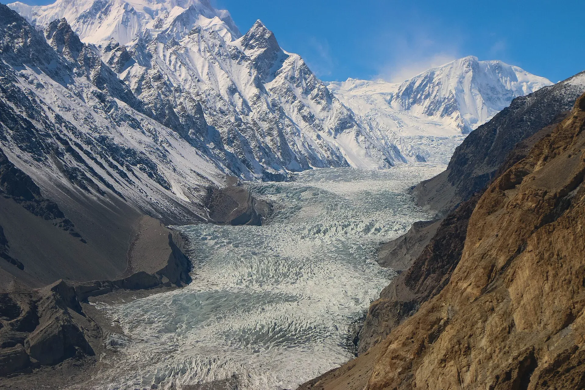
The Passu Glacier lies south of Passu village in Upper Hunza (Gojal), beneath Passu Peak. Its snout ends at Passu Lake, which drains to the Hunza River, and its meltwater feeds an irrigation system that local communities built centuries ago. To the north, the Batura Glacier is 57 km long, according to Wikipedia. Two-thirds of its middle and lower length is covered in rock debris, with a narrow strip of clean ice about 700 m wide near the snout. Patundas stands on the ridge between the two, which is why its views are so wide.
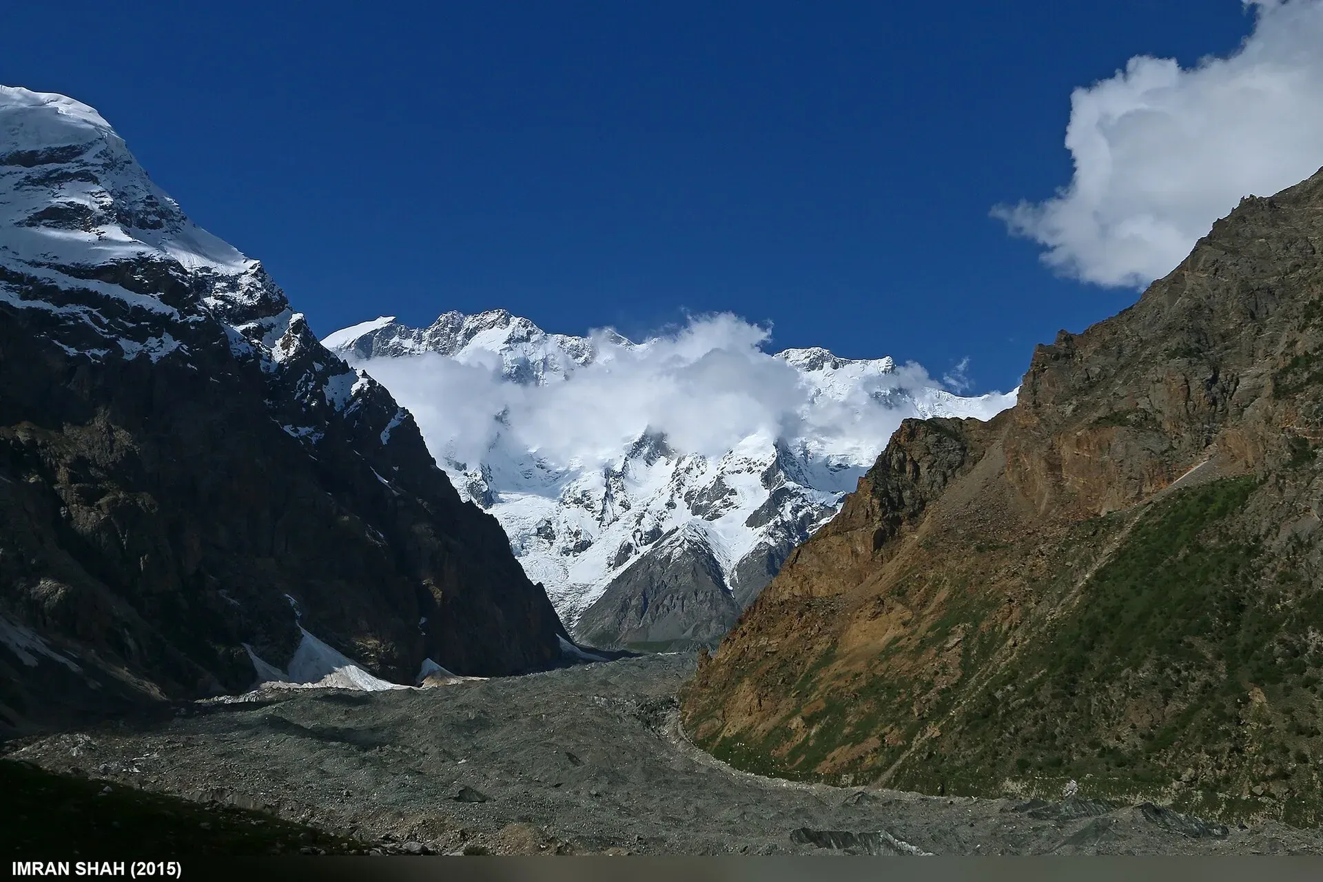
Photo: Imran Shah, with thanks · CC BY-SA 2.0 · via Wikimedia Commons · temporary stand-in photo

Who it suits
Patundas is for fit, acclimatised trekkers who are comfortable on steep ground and who are willing to hire a local guide. The glacier crossing is the technical part. It has crevasses at the edge and a changing, broken surface. Be ready to fix a rope on narrow ice ramps, cut steps or wear crampons, and to travel roped if your guide says so. You do not need to be a climber, but you must be confident on ice.
The Passu Glacier is beautiful and dangerous. Visitors have died on it after trying to cross alone. The villagers are held responsible by the authorities in Gilgit when this happens. Please hire a local guide, even if you think you know the way.
When to go
The usual season is June to September. The glacier surface is changing all the time, so the best route differs from year to year. Water above the glacier is scarce, and the stream at Luzhdur dries by late August. From April to early June, snow melt may give water at the old hut above Luzhdur, but there is more snow on the upper slope.
The route
From Passu (2,400 m), walk south along the KKH for about five minutes past the Shisper View Hotel. The trail leaves the road a little before the first hairpin bend, where the canal goes underground. Climb a spur along telephone lines to a saddle, with views of Hussaini and the KKH. Then follow a canal route behind a ridge to a slate platform (2,730 m) at the base of Borit Sar. You look down on Passu Lake at the snout of the Passu Glacier. From there, an abandoned canal leads across a cliff face and up to a lateral moraine. Passu Ghar (3,210 m) is the first camp, in an ablation valley with a few tent sites among junipers and a clear stream.
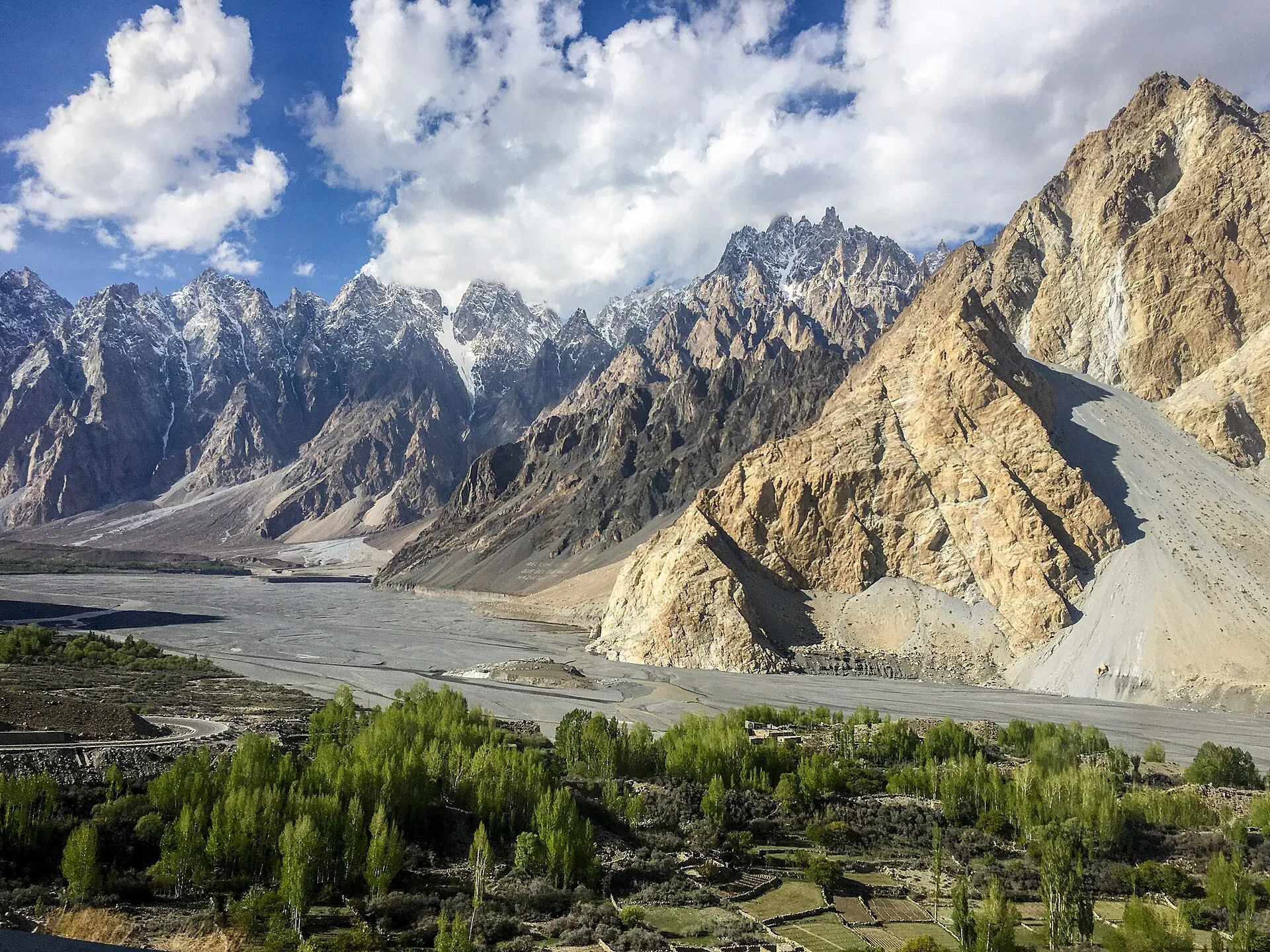
Photo: Mehrunisa Reimoo, with thanks · CC BY-SA 4.0 · via Wikimedia Commons · temporary stand-in photo

A second start leads up from Borit Lake (2,610 m) and joins the main route near the slate platform in about an hour. A steeper local route from the south side of the Passu bridge is only for people with a guide.
Day 2 begins with the glacier. Climb onto the lateral moraine and cross the Passu Glacier to its north side. The line changes every year. Cross the marginal crevasses on fixed rope if needed, go to the centre of the ice and head up the middle, then turn north to the pale cliffs. Allow one to 2.5 hours. You reach Luzhdur (3,660 m), a small group of huts at the foot of the cliffs. Above it, a clear zigzag trail climbs through old junipers with rest benches. After about 400 m of climbing you reach the ruined hut of Luzhdur Sar. Rolling alpine meadows lead west for another 30 minutes to the Patundas huts (4,100 m).
An extra day takes you along the ridge to the base camps of Passu Sar (7,478 m), Passu Dior, Shispare and Ghenta.
The return is by the same route. The descent to Luzhdur takes about half the time of the climb. As an alternative, a very steep trail drops from Patundas to Mulungeen on the south side of the Batura Glacier, then goes on to China Camp. It loses 1,200 m in a short distance and is hard on the knees.
Getting to the start
Passu has more guesthouses than Ghulkin and is a good place to meet other trekkers who want to share costs. One guide reports shared vans along the Karakoram Highway taking about 1.5 to 2 hours from Karimabad and 3 to 4 hours from Gilgit; ask to be dropped at Gulmit or the Borith Lake junction. The same guide describes the Borith Lake trailhead as about 30 minutes by vehicle from Ghulkin. Fares change, so ask locally.
Preparing for Patundas
- Fitness and altitude. The route gains about 1,700 m in two days, and one trekker puts the total gain from Borith Lake at roughly 2,000 m. Acclimatise first, ideally in Hunza or on another walk.
- Guide. The same trekker calls the glacier crossing dangerous without a guide, because the route changes and is not marked. Guides and porters can be arranged in Ghulkin or Passu in about 24 to 48 hours.
- Cash and signal. There are no ATMs near the trailhead or Ghulkin, so bring cash. Mobile signal is lost beyond the main road, so download offline maps.
- Timing. Hikers describe the glacier crossing at nearly two hours on the ice, a climb of about three hours from the lower camp to the plateau and about two hours down. One trekker describes the plateau at about 4,200 m, against 4,100 m in the older guide.
- Weather. Nights are freezing even in summer, and UV is intense. Weather changes quickly.
Culture and people
Patundas is owned by the villagers of Ghulkin. Ghulkin families have exclusive portering rights, so contact them through your hotel in Passu or Gulmit. In practice, send a message a day ahead with a Ghulkin driver, or ask at a hotel along the KKH north of Gulmit. Ibex and snow leopards live on these slopes. Himalayan snowcocks are common. Do not litter, and keep away from herders' huts.
Practical information
Carry all your water above Luzhdur. Water is scarce at Patundas and may only be a small trickle from the cliff below the huts. Plan your trip so that you do not cross the glacier late in the afternoon in warm weather, when the melt makes the surface slippery and the crevasse bridges weak.
The old trek.pk page lists this area as open, with no permit. Rules for foreign trekkers in Gilgit-Baltistan changed in 2024 and were later contested, so check before you go. A local guide or porter is expected in any case. Passu Glacier surface and the old trail north of it have changed greatly. A trail marked on older maps along the north side of the glacier no longer exists.
Highlights
- A ridge-top meadow with views in every direction
- Kuk Sar, Shispare and the Hispar Muztagh peaks on the skyline
- A guided crossing of the Passu Glacier
- Ancient juniper trees on the climb to the ridge
- Himalayan snowcocks and, with luck, ibex
Day by day
| Day | Camp | Altitude |
|---|---|---|
| 1 | Passu Ghar | 3,210 m |
| 2 | Patundas | 4,100 m |
| 3 | Passu | 2,400 m |
| Day | Route | Hours | Distance | Ascent / descent | Camp and altitude |
|---|---|---|---|---|---|
| Day 1 | Passu to Passu Ghar | 3–4 h | 6.6 km | +810 m | Passu Ghar, 3,210 m |
Day 1 notesLeave the KKH south of Passu and climb a spur to a saddle, then follow canals behind a ridge to the slate platform at the base of Borit Sar (2,730 m). Traverse the cliff above the Passu Glacier and climb to the lateral moraine, then descend slightly to the camp in the ablation valley. A cleaner stream is above in the junipers. Alternative start from Borit Lake: 6 km and 600 m of ascent. | |||||
| Day 2 | Passu Ghar to Patundas | 3–6 h | 4.3 km | +890 m | Patundas, 4,100 m |
Day 2 notesCross the Passu Glacier with your guide, using fixed rope on the edge crevasses if needed. Reach Luzhdur (3,660 m) at the foot of the pale cliffs. Zigzag up through old junipers to the ruined hut of Luzhdur Sar, then walk west across meadows to the Patundas huts. Camp beside the viewing platform above the Batura Glacier. | |||||
| Day 3 | Patundas to Passu | 3–5 h | 10.9 km | −1,700 m | Passu, 2,400 m |
Day 3 notesReturn the same way. The descent to Luzhdur is about half the time of the ascent. Cross the glacier with your guide and take care on the lateral moraine. The alternative finish drops 1,200 m to Mulungeen on the south side of the Batura Glacier and goes to China Camp (8.7 km, 4 to 5 hours). | |||||
Getting there
Passu is on the Karakoram Highway between Karimabad (Hunza) and Sost, with regular vans and coaches. Since 2015 the KKH has bypassed Attabad Lake through tunnels, so the road from Gilgit is open, apart from landslides and winter snow. Borit Lake (2,610 m) is about 1 km west of the KKH above Hussaini. Most people walk up the steep road, and a jeep takes about 10 minutes. You can also walk north from Ghulkin village across the Ghulkin Glacier in about two hours.
Permits and rules
- Permit needed
- Usually not, Open zone
- Fee
- Current fees will be added soon
- Last checked
- 16 November 2026
The old trek.pk page lists no permit. A local guide is needed in practice. Rules and fees for foreign trekkers in Gilgit-Baltistan changed in 2024 and were later contested, and no current official list was found. Check with the Gilgit-Baltistan Tourism Department or a licensed operator.
How trekking permits, NOCs and registration work: Visa and permits.
Season
Best: Jun – Sep
Water and camps
Passu Ghar has a small, silty stream at the lower camp and a clear year-round stream in the junipers just above, with a pit toilet behind a wall. Luzhdur has water early in the season, but by late August you carry water from the glacier. Beyond Luzhdur, water is scarce. At Patundas there may only be a small trickle from the cliff below the huts. Carry what you need and treat it.
Gear and safety
The Passu Glacier has deep marginal crevasses and steep ice. Hire a local guide. Carry rope and crampons or microspikes, a helmet and an ice axe, as agreed with the guide. Cross early in the day. Do not cross in poor visibility. The climb above Luzhdur gains 400 m fast, and Patundas is at about 4,100 m, so acclimatise first. Rescue is from Passu or Gulmit, and a helicopter has to be requested through the army and an operator.
Variations
Spend an extra day on the ridge to reach Passu Sar Base Camp by following the ridge west, then angling south-west toward the upper Passu Glacier. The steep alternative finish leads to Mulungeen and links with the return of the batura-glacier trek. Passu also has the Borit Sar and Two Bridges day walks, and avdegar for a shorter climb.
Tips
- Hire a Ghulkin guide who knows the current route across the glacier.
- Carry rope, crampons and a helmet. Ask your guide what is needed this year.
- Carry all your water above Luzhdur.
- Cross the glacier in the morning, when the ice is firmer.
- Spend a few days in Gojal first. The route gains about 1,700 m.
Photos we still need: Patundas huts and plateau, and the Passu Glacier crossing. Send us yours
Health and emergency
Mobile signal is patchy on most treks, so tell someone your plan before you go. Emergency numbers
Sources and last checked
Last checked Confidence medium7 sources7 still to check
- Last checked
- Method
- Desk research from published sources
- Confidence
- medium
- Checked by
- trek.pk research team
Researched from published sources; not yet checked on the ground by our team. Spot something out of date? Report a mistake.
Sources
- Trekking in the Karakoram and Hindukush (Patundas trek) · Lonely Planet, c. 2002 (facts only) · checked
- Batura Glacier · Wikipedia · checked
- PM inaugurates Pak-China Friendship Tunnels over Attabad Lake · Dawn · checked
- GB winter adventure tourism hit by soaring permit fee, visa delays · Dawn · checked
- Patundas Meadows trek: a complete guide · Into the Wild Unknown · checked
- Cattle migration trek to Patundas Meadows · Gypsy Traces and Tours · checked
- Passu Glacier · Wikipedia · checked
Still to be checked on the ground (7)
- Current safe route across the Passu Glacier, which changes each year, and the rope and crampon kit needed (sources: guide required, crampons or microspikes if icy)
- Whether Ghulkin villagers still hold the exclusive portering rights (guides and porters can be arranged in Ghulkin; exclusivity not confirmed)
- Water at Luzhdur, Luzhdur Sar and Patundas, including any new water tank (one guide says water beyond the glacier is limited and untreated water unsafe)
- Times, distances and heights come from a c. 2002 guidebook (operator routes from Borith are not comparable)
- Whether any permit or fee applies for foreigners on this route
- Height of Patundas plateau (about 4,100 m in the older guide; about 4,200 m in one trekker's undated account)
- Fares and journey times by shared van to Gulmit or the Borith Lake junction (undated trekker's account)
Nearby and related

Batura Glacier

Avdegar

Passu Glacier and Borith Lake Walk
Shispare
Shispare (7,611 m) is the high peak in the Batura Muztagh seen above Passu and the Passu Glacier. It was first climbed in 1974 by a Polish-German expedition.
Trivor
Trivor (7,577 m) is a peak of the Hispar Muztagh above the Shimshal valley. It was first climbed in 1960 by Wilfrid Noyce and Jack Sadler.
Kanjut Sar
Kanjut Sar (7,760 m) is the highest peak of the Hispar Muztagh between the Shimshal and Hispar valleys. It was first climbed in 1959 by an Italian expedition.
Tupopdan (Passu Cones)
Tupopdan (6,106 m) is the highest summit of the Passu Cones, the jagged peaks above Passu village. It is also called Passu Cathedral. It is seen from the Karakoram Highway and on the Avdegar and Patundas walks.
Patundas Meadows
A high pasture at about 4,100 m on the ridge between the Passu and Batura glaciers, reached by a two-day climb from Passu that crosses the Passu Glacier.