

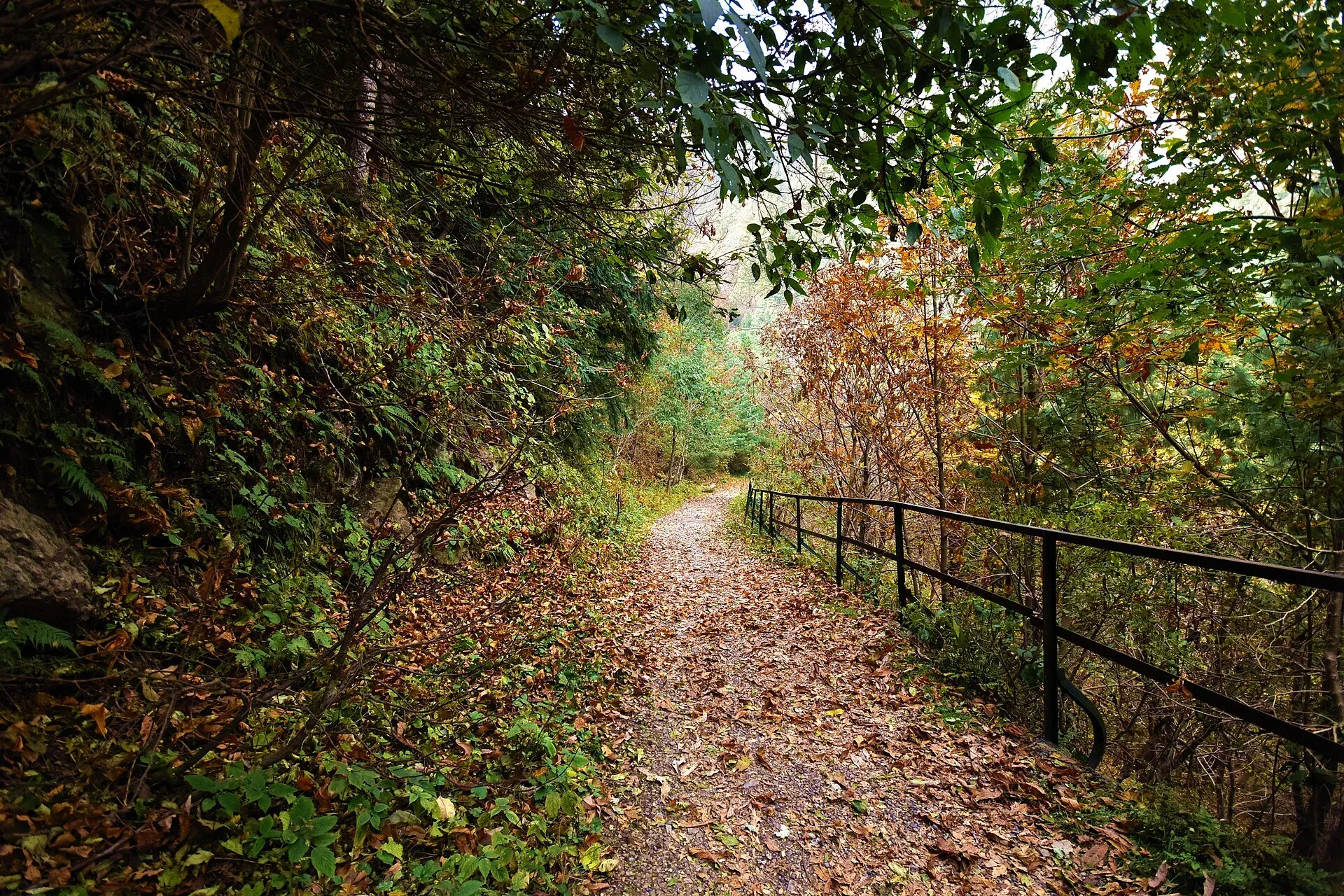
Photo: Kamranki, with thanks · CC BY-SA 4.0 · via Wikimedia Commons · temporary stand-in photo

Pipeline Track
- Duration
- 1 day
- Distance
- 4 km
- Grade
- Easy
- Season
- Apr – Oct
An easy, mostly level forest walk of about 4 km between Dunga Gali and Ayubia, along an old British-era water pipeline. Good for families; allow 1 to 2 hours.
Overview
The Pipeline Track is a pedestrian path that follows a water pipeline laid by the British in 1930 to carry water from Dunga Gali to Ayubia, from where it supplied Murree (Dawn, 2010) through the pine forest of Ayubia National Park. It links Dunga Gali and Ayubia. It is the easiest of the Galyat walks because it is mostly flat.
Who it suits
Families, older walkers and first-time hikers. There are no steep climbs. It is also a pleasant rest day after Miranjani or Mushkpuri.
When to go
April to October is the easiest time. Winter snow and ice can make the track slippery. In the monsoon expect mud and leeches near wet sections, and rain showers. Walking in the morning or late afternoon avoids the crowds that come at weekends.
The route
Dawn (2010) and Wikipedia both give about 4 km; blogs range from 3.5 to 5 km. Wikipedia describes it as running between Ayubia and Nathia Gali, while guides and Dawn describe the Dunga Gali to Ayubia section, so the ends differ by source.
Start at Dunga Gali. Dunga Gali is the park headquarters, on the slopes of Mushkpuri (2,813 m), the highest peak in the area. Dawn describes a large open-topped steel water tank here, about 30 m across and 10 m high, fed by springs and rain channels. This is where the pipeline began.
The track. The British buried the pipeline under earth and stones in 1930, and the track above it became known as the Pipeline Walk. It is about 3 m wide and cut through thick conifer forest. It follows the mountainside and stays almost level, so the walk has no real climbs. One side looks down over a green valley. Dawn's writer heard parakeets and other birds on the walk. After overnight rain the surface is wet and muddy, so wear shoes with grip.
End at Ayubia. Ayubia is about 26 km from Murree, and its chairlift runs up to Mushkpuri. A direct walk takes 35 to 50 minutes, but most people take 1.5 to 2 hours with stops. A longer version starts at Khaira Gali and continues through Dunga Gali to Ayubia. Vehicles are not allowed on the path.
Culture and people
Ayubia and Dunga Gali are summer resorts with tea stalls and small hotels. Follow park rules: no littering, no fires and no loud music. Do not feed the monkeys.
The park around the track
Ayubia National Park covers the forested ridges above Murree. Dawn says the walk lies entirely inside the park, where the land ranges from about 1,050 m in the valleys to about 3,027 m on the summits, and the hills are mostly limestone with some shale and sandstone. Wikipedia lists deodar, blue pine, yew, silver fir, horse chestnut and oak, and gives summer temperatures that stay cool, with monsoon rain from late July and snow lingering into late winter. Dawn reports more than 250,000 visitors a year, mostly in summer, so weekends are crowded.
Practical information
- Altitude about 2,500 m: Dawn gives the track as 2,499 m above sea level and Wikipedia puts Dunga Gali at 2,500 m.
- Ayubia National Park was declared in 1984 and enlarged in 1998 (Dawn). Wikipedia gives its annual rainfall as about 1,644 mm, so bring a rain layer.
- From Islamabad, OSRM measures Ayubia at about 75 km by road (about 1 hour of driving without stops; allow far more in summer traffic).
- Tea stalls near the ends sell drinks and snacks.
- Toilets are limited on the path.
- Keep to the track. Wildlife in the park includes monkeys and leopards.
Highlights
- Level forest walk through pines
- Old British-era pipeline route
- Family friendly
- Links Dunga Gali and Ayubia
Day by day
- StartDunga Gali
- Day 1Ayubia along the pipeline
| Day | Route | Hours | Distance | Ascent / descent | Camp and altitude |
|---|---|---|---|---|---|
| Day 1 | Dunga Gali to Ayubia along the pipeline | 1–2 h | 4 km | not given | not given |
Day 1 notesFrom Dunga Gali join the pedestrian pipeline path. It follows the hillside with little change in height, under pine and fir trees, with views over the valley. Stop at viewpoints. The walk ends near Ayubia, where you can take a taxi or walk back. | |||||
Getting there
From Islamabad drive to Abbottabad or via Murree to Dunga Gali or Ayubia, about 2.5 to 3 hours. Shared vans connect the Galyat towns. Taxis can collect you at the far end.
Permits and rules
- Permit needed
- Usually not, Open zone
- Fee
- Current fees will be added soon
- Last checked
- 16 November 2026
The track runs through Ayubia National Park. There is no confirmed official fee. Current fees will be added soon; ask locally.
How trekking permits, NOCs and registration work: Visa and permits.
Season
Best: Apr – Oct
Water and camps
Carry water. No camping.
Gear and safety
Wildlife
Monkeys may grab food. Leopards live in the park; do not walk alone at dusk.
Weather
Rain makes the track muddy; snow and ice in winter.
Fitness
Easy, but the altitude of about 2,500 m can tire you if you are not used to it.
Variations
Walk it as a loop with a drive, or add the Ayubia chairlift. Combine with the Miranjani or Mushkpuri trails.
Tips
- Wear grippy shoes after rain
- Take water; stalls are only at the ends
- Walk with others and avoid the evening
- Combine with a chairlift ride or Mushkpuri climb
Photos we still need: the water tank at Dunga Gali where the pipeline starts, and the Ayubia end of the track. Send us yours
Health and emergency
Mobile signal is patchy on most treks, so tell someone your plan before you go. Emergency numbers
Sources and last checked
Last checked Confidence medium6 sources5 still to check
- Last checked
- Method
- Desk research from published sources
- Confidence
- medium
- Checked by
- trek.pk research team
Researched from published sources; not yet checked on the ground by our team. Spot something out of date? Report a mistake.
Sources
- A complete guide to the Pipeline Track · Graana.com blog · checked
- Pipeline track (news article) · Dawn (2010) · checked
- Ayubia National Park · Zameen.com blog · checked
- Pakistan treks and mountain ranges (trek.pk research report) · trek.pk research · checked
- OSRM driving route service: road distances and times measured 16 November 2026 (driving only, optimistic on mountain roads) · OSRM / OpenStreetMap contributors · checked
- Ayubia National Park · Wikipedia · checked
Still to be checked on the ground (5)
- Which ends the walk is signed between: Dawn (2010) says the 1930 pipeline ran from Dunga Gali to Ayubia; Wikipedia says Ayubia to Nathiagali. Both give about 4 km
- Walking time (35 minutes to 1.5 hours one way quoted)
- Any entry fee for the park
- Exact start points
- Whether the Ayubia chairlift is currently running
Nearby and related

Mushkpuri Top Trail

Miranjani Top Trail

Ansoo Lake Trail

Dunga Gali
A small Galyat hill town at about 2,500 m, 3 km from Nathia Gali, once a British sanatorium. It is the headquarters of Ayubia National Park and a base for walks to Mukeshpuri and Miranjani.

Ayubia National Park
A cool pine and fir forest park in the Galyat hills above Abbottabad, with the Pipeline Track, a chairlift, leopards and many birds. Established 1984, about 33 square kilometres.