

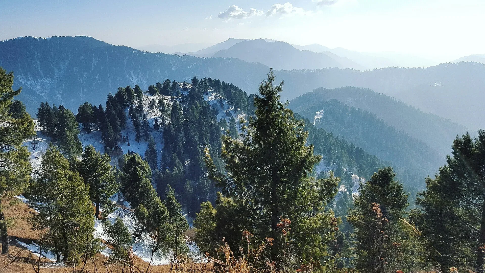
Photo: Fiaz3300, with thanks · CC BY-SA 4.0 · via Wikimedia Commons · temporary stand-in photo

Miranjani Top Trail
- Duration
- 1 day
- Distance
- 5 km
- Grade
- Moderate
- Max altitude
- 2,992 m
- Season
- May – Oct
The classic Galyat hike: a forest trail from Nathia Gali to Miranjani Top (about 2,970 to 2,992 m), the highest point in the Galyat. Allow a half day return and expect snow in winter.
Overview
Miranjani is the highest peak of the Galyat region. Wikipedia gives its height as 2,992 m; some trekking pages quote a little lower (about 2,950 to 2,970 m), so call it roughly 2,970 to 2,990 m. It sits inside Ayubia National Park in Abbottabad District, roughly 80 km north of Islamabad. Dawn reported in 2010 that the park was declared in 1984 and enlarged in 1998, and that it spans about 1,050 m to 3,027 m in height. The usual hike starts in Nathia Gali and follows a forest track to a grassy top with wide views.
Ayubia National Park
Miranjani sits in Ayubia National Park, which was declared in 1984 and extended north in 1998 to 3,312 hectares. Dawn (2010) lists sub-tropical pine forest, moist temperate coniferous forest and sub-alpine meadows, and a range of wildlife that includes 203 bird species and 31 mammals. More than 250,000 tourists visit each year, mainly in summer, and litter is a recognised pressure, so carry rubbish out. In spring the rhododendrons flower in March and April, and August to September has the greenest forest, according to one operator.
Who it suits
Anyone with a basic level of fitness. The route is a steady climb and not technical, but it does gain about 650 m. Families with older children do it. It is not suitable in snow without proper footwear.
When to go
May to October is the main hiking season. In winter snow can close or complicate the trail. Clear mornings give the best views, so start early. Cloud often builds by midday in summer, and the monsoon brings rain and slippery ground.
Finding the start
From the church in Nathia Gali, follow the road towards the Governor's House. Just before it, turn right and go downhill. At a first T-junction, a right turn leads to Bakot forest, so go straight on to the Abshaar road. At the second T-junction look for a white hut with project signboards. The path begins behind the hut at Namli Maira, at about 2,357 m according to one operator. There is car parking and a small wildlife office. Guides and porters are usually available near the trailhead. Ask locally to confirm the way.
Terrain underfoot
The track is mostly soft dirt with a few patches of rock. The slope steepens at about the midpoint, in the most remote forest section. The last stretch is steeper and rockier, with sharp edges that can trip a tired walker. The summit area is open ground with a pool at the top.
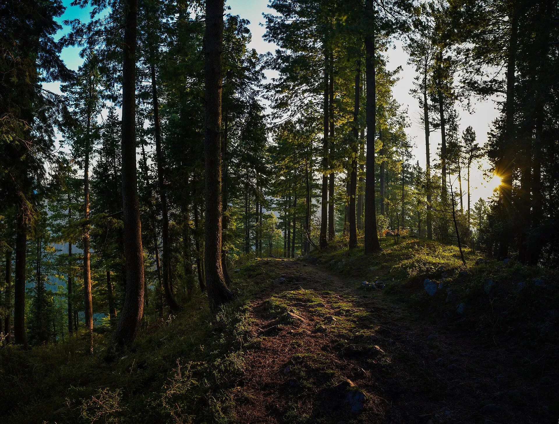
Photo: Saadbinshahbaz, with thanks · CC BY-SA 4.0 · via Wikimedia Commons · temporary stand-in photo

The route
The path begins near the Governor's House and church in Nathia Gali, at about 2,330 m. It climbs through pine, fir and oak forest. Along the way there are two open spaces that serve as rest and meal stops, and a shoulder peak called Kuna Danna, where the trail turns upper left before the main summit. Published distances differ: most sources give about 4.5 to 5 km one way with roughly 600 to 650 m of climbing, and a Komoot loop from Nathia Gali is about 9 km with about 620 m of ascent (graded hard). Times quoted for the climb range from about 1 hour 15 minutes for experienced hikers to 2 to 3 hours for beginners and 5 to 6 hours with long breaks; plan on 2.5 to 3.5 hours up for a normal pace and a little less down. The last stretch opens onto grass and the summit. In clear weather the views take in Nathia Gali, Mushkpuri Peak and the hills of Azad Kashmir. One operator says Nanga Parbat can be seen on very clear days, though other figures on that page conflict.
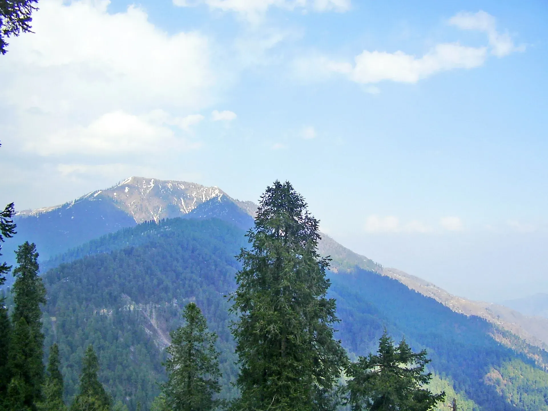
Photo: Khalid Mahmood, with thanks · CC BY-SA 3.0 · via Wikimedia Commons · temporary stand-in photo

From Islamabad, OSRM measures Nathia Gali at about 87 km by road (about 1 hour 15 minutes of pure driving, much more in summer traffic on the Murree and Abbottabad roads).
Culture and people
Nathia Gali is a British-era hill station, now busy with domestic tourists in summer. Local families run the shops and guesthouses. Dress modestly in the villages and be considerate to people living along the forest edge.
Practical information
- Start in the morning; plan on a half day for the round trip.
- There are no shops on the trail itself.
- Mobile signal can be weak in the forest.
- The forest holds wildlife including leopards and Himalayan black bears, so do not hike late or alone, and keep a safe distance from any animal.
- No hotels, toilets or bins on the trail or at the top. No water on the trail either; carry enough for 4 to 5 hours.
- Sturdy shoes, a rain jacket, a hat and sunscreen suit the route, and a walking stick helps on the steeper final section.
Highlights
- Highest peak in the Galyat at 2,992 m
- Forest trail from Nathia Gali
- Wide views on clear days
- Half-day hike inside Ayubia National Park
Day by day
- StartNathia Gali (near the Governor's House and church)
- Day 1Miranjani Top
- Day 1Nathia Gali
| Day | Route | Hours | Distance | Ascent / descent | Camp and altitude |
|---|---|---|---|---|---|
| Day 1 | Nathia Gali to Miranjani Top | 2.5–3.5 h | 5 km | +660 m | Miranjani Top, 2,992 m |
Day 1 notesLeave Nathia Gali, turn right before the Governor's House and find the white hut at the start of the path at Namli Maira. Walk uphill through forest on a mostly soft dirt track. The slope is steady, with a few steeper steps, and the climb steepens at about the midpoint. Pass two open rest spaces and the shoulder peak of Kuna Danna, where the path turns upper left. Near the top the trees thin out and the path crosses open grass and rockier ground to the summit. Rest, eat and enjoy the view before descending the same way. | |||||
| Day 1 | Descent to Nathia Gali | 2–2.5 h | 5 km | −660 m | Nathia Gali, 2,330 m |
Day 1 notesReturn by the same track. Watch your footing on loose or wet sections and be out of the forest before dusk. | |||||
Getting there
From Islamabad drive to Abbottabad or via Murree to Nathia Gali (about 2.5 to 3 hours depending on traffic). Local vans and taxis run through the Galyat. From the church in Nathia Gali, follow the road past the Governor's House, turn right and go downhill; one trekking blog says the path starts behind a white hut at Namli Maira (about 2,357 m), where there is parking and a small wildlife office. Ask locally to confirm.
Permits and rules
- Permit needed
- Usually not, Open zone
- Fee
- Current fees will be added soon
- Last checked
- 16 November 2026
Miranjani lies inside Ayubia National Park. There is no confirmed official entry fee. Current fees will be added soon; ask at the park office or the Nathia Gali tourist office.
How trekking permits, NOCs and registration work: Visa and permits.
Season
Best: May – Oct
Water and camps
Carry all your water from Nathia Gali. Camping is not usual in the park; stay in Nathia Gali.
Gear and safety
Altitude
The top is under 3,000 m, so altitude problems are unlikely, but cold wind on the summit is common.
Wildlife
Leopards are present in the forest. Hike in daylight and in groups. Do not feed monkeys.
Weather
Fog and storms come in quickly in summer. In winter the trail is snow-covered; use boots with grip.
Getting lost
The path is clear, but side tracks branch off in the forest. Keep to the main trail and tell someone your plan.
Variations
Combine with the Pipeline Track or the Mushkpuri Top hike from Dunga Gali. A long ridge walk joins Thandiani and Nathia Gali via Dagri and Beran Gali (strenuous, multi-day).
Tips
- Start before 9 am for clearer views
- Carry water and a rain layer
- Stay in a group; leopards live in the forest
- Check snow conditions before going from November to April
Stay and eat in Nathia Gali
Nathia Gali is the nearest town to the trek: somewhere to sleep and stock up before and after.
Places to stay
- Hotel Elites NathiaGaliCall Hotel Elites NathiaGaliMap of Hotel Elites NathiaGali in Google Maps
- DoubleTree by Hilton NathiagaliCall DoubleTree by Hilton NathiagaliMap of DoubleTree by Hilton Nathiagali in Google Maps
- Hotel Summer Retreat NathiagaliCall Hotel Summer Retreat NathiagaliMap of Hotel Summer Retreat Nathiagali in Google Maps
- The Cloud XpressCall The Cloud XpressMap of The Cloud Xpress in Google Maps
- Raees Khana Hotel Nathia galiCall Raees Khana Hotel Nathia galiMap of Raees Khana Hotel Nathia gali in Google Maps
- Gali's End by RoomyCall Gali's End by RoomyMap of Gali's End by Roomy in Google Maps
Places to eat
- The GreyCall The GreyMap of The Grey in Google Maps
- Cafe FoodsterCall Cafe FoodsterMap of Cafe Foodster in Google Maps
- Desi Butt Karahi nathiagali abbotabad road kpkCall Desi Butt Karahi nathiagali abbotabad road kpkMap of Desi Butt Karahi nathiagali abbotabad road kpk in Google Maps
- Soy Pan AsianMap of Soy Pan Asian in Google Maps
- D.Dream grill cafe & Pizza houseCall D.Dream grill cafe & Pizza houseMap of D.Dream grill cafe & Pizza house in Google Maps
- Kaldis Cafe & GrillCall Kaldis Cafe & GrillMap of Kaldis Cafe & Grill in Google Maps
Essential services ATMs, pharmacies and hospitals and clinics
ATMs
- MCB BANKMap of MCB BANK in Google Maps
Pharmacies
- Kashif Medical Store, Nathia GhaliMap of Kashif Medical Store, Nathia Ghali in Google Maps
Hospitals and clinics
- Shaheen Women and children hospital kalabagh Nathiagali Abbottabad- Paediatric Medical SevicesCall Shaheen Women and children hospital kalabagh Nathiagali Abbottabad- Paediatric Medical SevicesMap of Shaheen Women and children hospital kalabagh Nathiagali Abbottabad- Paediatric Medical Sevices in Google Maps
- BHU Nagri BalaCall BHU Nagri BalaMap of BHU Nagri Bala in Google Maps
Listings come from Google Maps data and are unverified: phone numbers, opening months and prices may have changed. Report a problem · Own one of these? Claim it
Photos we still need: the Namli Maira start, forest section and the summit area. Send us yours
Health and emergency
Mobile signal is patchy on most treks, so tell someone your plan before you go. Emergency numbers
Sources and last checked
Last checked Confidence medium11 sources4 still to check
- Last checked
- Method
- Desk research from published sources
- Confidence
- medium
- Checked by
- trek.pk research team
Researched from published sources; not yet checked on the ground by our team. Spot something out of date? Report a mistake.
Sources
- Miranjani · Wikipedia · checked
- Miranjani trek, Abbottabad · TravelPakistani · checked
- Places to visit in Galiyat · Zameen.com blog · checked
- Pakistan treks and mountain ranges (trek.pk research report) · trek.pk research · checked
- OSRM driving route service: road distances and times measured 16 November 2026 (driving only, optimistic on mountain roads) · OSRM / OpenStreetMap contributors · checked
- Environment: A walk in the woods (14 February 2010) · Dawn · checked
- Miranjani trek: distance, time and elevation summaries · Komoot / Graana (travel blogs) · checked
- Miranjani Trek · Nature Adventure Club · checked
- Thandiani to Nathiagali trek · Dasht Navard (blog, 2009, updated 2010) · checked
- Miranjani Trek (route landmarks, terrain, facilities) · Nature Adventure Club · checked
- Environment: A walk in the woods (park facts) · Dawn · checked
Still to be checked on the ground (4)
- Summit height (2,992 m Wikipedia; 2,971 m and 2,980 m elsewhere)
- Time up (2 to 3.5 hours; up to 5 to 6 with breaks; about 5 km one way)
- Any entry fee or permit for Ayubia National Park (no official source)
- Whether Nanga Parbat is visible from the top (one operator only)
Nearby and related

Mushkpuri Top Trail

Pipeline Track

Thandiani Trail

Miranjani
Miranjani (2,992 m) is the highest peak in the Galyat hills, in Ayubia National Park above Nathia Gali. It is a half-day forest hike with views on clear days.

Nathia Gali
A pine-forest hill station at about 2,410 m in the Galyat hills, with a wooden colonial church, walks to Miranjani and Mukeshpuri, and snow from December to February. Roads often close in heavy snow.

Ayubia National Park
A cool pine and fir forest park in the Galyat hills above Abbottabad, with the Pipeline Track, a chairlift, leopards and many birds. Established 1984, about 33 square kilometres.