

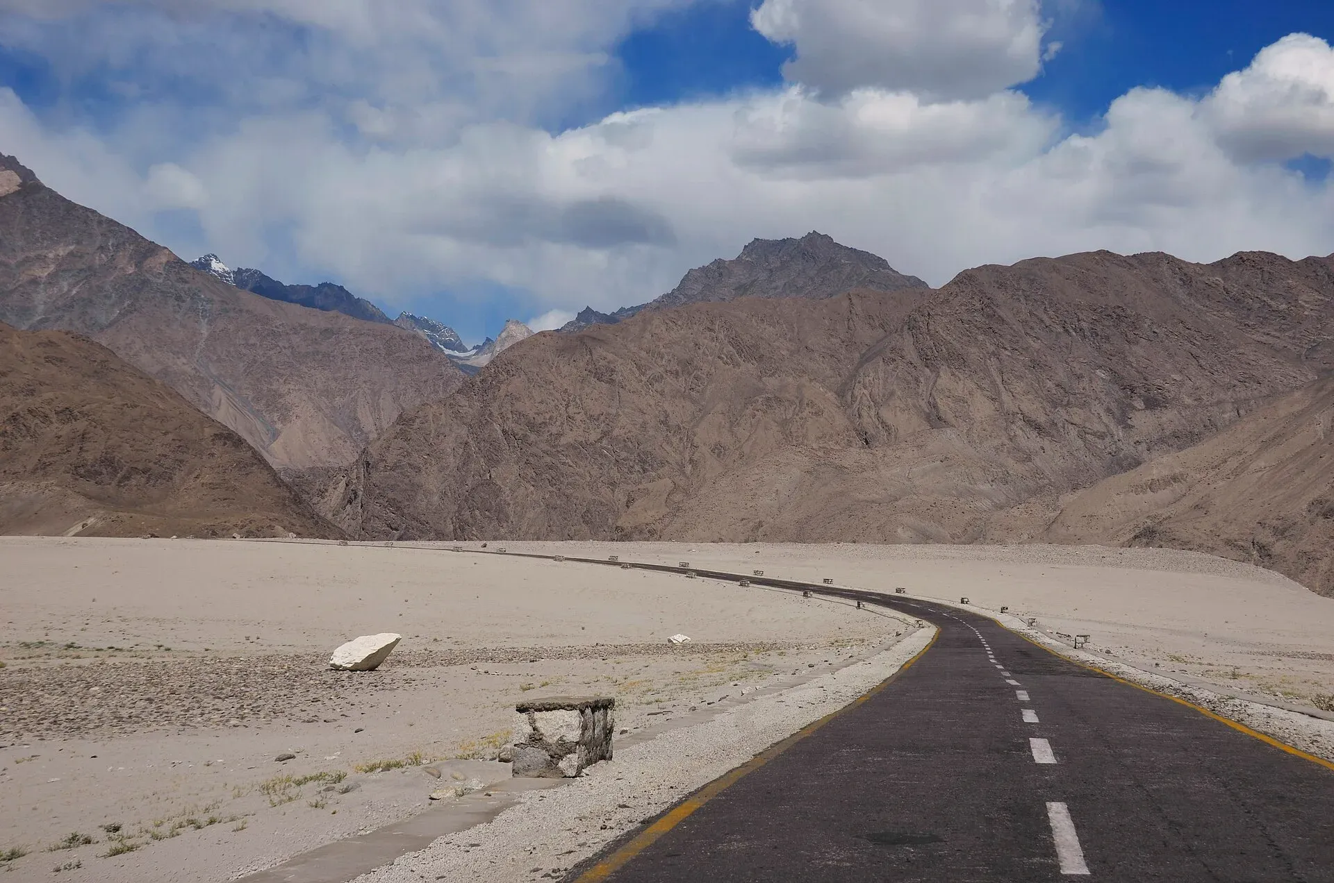
Photo: Raja Munawar, with thanks · CC BY-SA 3.0 · via Wikimedia Commons · temporary stand-in photo

Thalle La
- Duration
- 3 days
- Distance
- 48 km
- Grade
- Moderate
- Max altitude
- 4,572 m
- Season
- Jul – Sep
A three-day crossing of the 4,572 m Thalle La from Khasumik near Khaplu to Shigar. One of Baltistan's easiest passes, non-glaciated, and open-zone.
Overview
The Thalle La (4,572 m) is the best trekking route between Khaplu and Skardu. You walk up the green Thalle valley from the Shyok River, cross a snow-covered pass and come out into the wide Shigar valley. It is one of the few non-glaciated passes in Baltistan and one of the easiest, which makes it a good choice for backpackers. Most operators agree on 4,572 m, though one gives 4,800 m and another about 4,600 m.
Who it suits
This is a moderate three-day trek on good trails. It suits trekkers who are used to long days and some altitude but do not want glacier travel. Many people use it to return from Hushe or Khaplu to Skardu. Early in the season expect a lot of snow on the east side. The higher, harder Tusserpo La (5,084 m), the north branch, is much less often crossed.
When to go
Mid-June to September. In June the east side of the pass holds snow, so go later in the summer for an easier crossing. The old guide notes that the British used this route between 1891 and 1947 because it had grazing for their pack animals.
The route
The trek starts at Khasumik (2,900 m), reached by road from the Shyok valley. From there a wide track goes to Thalle Brok. You continue up the Thalle valley to Olmo, the highest settlement, then to Dubla Khan, where the trail splits. The north branch goes to the Tusserpo La. Take the south-west branch, and in about an hour reach Thalle Camp (3,850 m), a herders' settlement beside a clear stream.
On day 2 you follow the stream through pretty pastures. Near the pass the grass ends and the trail becomes rocky. The Thalle La is about two hours from camp, marked by a large cairn, with a permanent snowfield on its west side. A steep rocky peak rises south of the pass. To the east you look back to the high peaks between Thalle and Hushe, and to the west you see distant peaks above the Shigar valley. Descend the snow slope (some people glissade) and go through pastures to the herders' huts at Daserpa (3,500 m).
On day 3 you walk down through cedar trees to Baumaharel, where the stream from the Thalle La joins the main Bauma valley. A good trail then leads down the valley to Shigar (2,329 m) in about four hours.
Going the other way, from Hushe
Many operators run the trek from Hushe to Shigar instead. One operator describes it as a 3-to-4-day trek: day 1 follows the river from Hushe (3,000 m) through pine forest, herders' settlements and meadows to Shaicho camp (3,400 m), a gentle walk of 4 to 5 hours. Day 2 climbs steeply to a base camp at about 4,200 m with no facilities. Day 3 crosses the pass and descends to the Daghoni and Surmo area (3,200 m). The same operator gives the pass as about 4,600 m and notes that, from Shigar, the ascent is steeper. On clear days Masherbrum and Laila Peak can be seen from this side. It lists early-season snow or ice patches, so crampons can be useful in May and June. Its season guide runs June to July for green meadows and clear skies, August as the busiest and wettest, and October as risky because of snow. These are one operator's notes, not fixed rules.
Terrain underfoot
Expect a wide dirt track and pasture on the first day, a rocky trail where the grass stops near the pass, a permanent snowfield and loose stones on the west side, then forest paths of cedar needles and a valley trail on the final day. There are streams to cross on each day, and these run higher in the afternoon when meltwater peaks. Mobile signal is patchy on the Thalle side and should be assumed absent for most of the trek.
Culture and people
The villages of the lower Thalle valley are Balti, and the Shigar valley is known for its old fort and orchards. Herders use the high pastures in summer, with dzo (yak-cow cross) grazing near Daserpa. Khasumik is a large village and your last chance to buy basic supplies. Porters ask for a set rate per stage; agree it before you start (current rates will be added soon).
Practical information
Guides. The trail over the Thalle La is not hard to find, so a guide is optional in the old guide. For the Tusserpo La, a guide is recommended. Porters ask for payment per stage. The old guide warned that seven stages for the Shigar–Doghoni route is probably too many, but three is not enough.
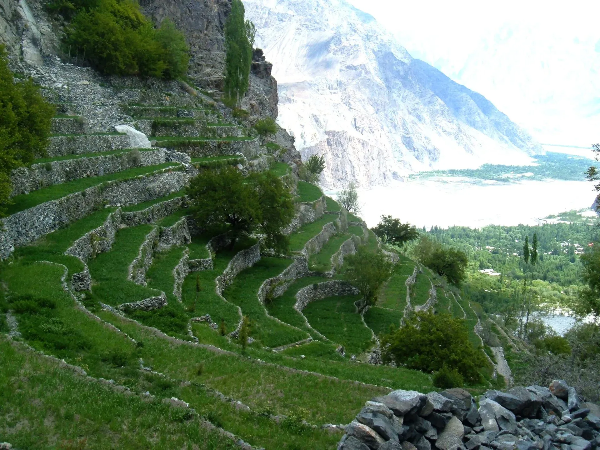
Photo: Balti sahib, with thanks · CC BY-SA 4.0 · via Wikimedia Commons · temporary stand-in photo

Driving times. One operator gives about 3 hours by car from Skardu to Khaplu, 1.5 to 2 hours on rough road from Khaplu to Hushe, and 1 to 2 hours from Skardu to Shigar and Daghoni. Treat these as estimates.
Getting to the start. An unsealed road runs up the Thalle valley to Khasumik and beyond to Thalle Brok. Jeeps and special hires run from Skardu and Khaplu. The cheapest way is to get off a Skardu–Khaplu bus at Doghoni Bridge and walk a day to Khasumik.
Finish. From Shigar, buses and jeeps run to Skardu; services are mainly in the morning and late afternoon, and a special hire is also possible.
Maps. Swiss 1:250,000 Karakoram sheets 1 and 2. Khasumik is labelled Khusumik.
Highlights
- One of the easiest and few non-glaciated passes in Baltistan
- Green Thalle valley and pastures, then cedar forest on the Shigar side
- Views of the Hushe peaks from the pass
- Connects Khaplu and Shigar without road travel
Day by day
- StartKhasumik
- Day 1Thalle Camp
- Day 2Daserpa
- Day 3Shigar
| Day | Route | Hours | Distance | Ascent / descent | Camp and altitude |
|---|---|---|---|---|---|
| Day 1 | Khasumik to Thalle Camp | 4–5 h | 16 km | +950 m | Thalle Camp, 3,850 m |
Day 1 notesA wide track leads from Khasumik (2,900 m) to Thalle Brok, then north-west up the valley to Olmo, the highest settlement. Dubla Khan, two hours above Olmo, is where the trails split. Take the south-west branch to the Thalle La. Thalle Camp is a herders' settlement beside a clear stream. | |||||
| Day 2 | Thalle Camp over the Thalle La to Daserpa | 6–7 h | 16 km | +722 m / −1,072 m | Daserpa, 3,500 m |
Day 2 notesA good trail runs through pastures along the stream. The grass ends near the pass, and the trail turns rocky. The pass is about two hours from camp, with a large cairn and a permanent snowfield on its west side. Descend the snow slope and carry on through dzo pastures to the herders' huts at Daserpa. | |||||
| Day 3 | Daserpa to Shigar | 5–6 h | 16 km | −1,171 m | not given |
Day 3 notesWalk down through cedars to the huts at Baumaharel, where the stream from the pass joins the Bauma Lungma. A good trail then follows the valley to Shigar (2,329 m) in about four hours. | |||||
Getting there
To the start: take a bus or jeep from Skardu or Khaplu to Doghoni Bridge on the Skardu–Khaplu road, then walk a day or hire a jeep up the Thalle valley to Khasumik. From the finish at Shigar, buses and jeeps run to Skardu. Ask locally for current times.
Permits and rules
- Permit needed
- Usually not, Open zone
- Fee
- Current fees will be added soon
- Last checked
- 16 November 2026
Zone: open. The old guide lists this trek as open-zone with no permit, and a Pakistan travel blog's summary of the 2024–25 rules says foreigners may trek in open zones without a permit. The trek is not in a restricted area. Rules and fees can change, so ask the Gilgit-Baltistan Tourism Department or your operator before you go.
How trekking permits, NOCs and registration work: Visa and permits.
Season
Best: Jul – Sep
Water and camps
Clear streams run along the Thalle valley and at Thalle Camp. Daserpa has a stream and huts. Wood may be scarce in the upper valley; carry a stove.
Gear and safety
The pass is high but not glaciated. Snow on the east side can be firm early in the season, so carry an ice axe and microspikes in June. The descent from the pass is steep. Stream crossings are higher in the afternoon. Weather can turn cold and wet at 4,500 m.
Variations
- Tusserpo La (5,084 m), the north branch, is higher and harder; a guide is recommended.
- Many people walk from Hushe down to Saling and Doghoni before starting.
- Combine with Masherbrum Base Camp or the Gondogoro valley (see those treks).
- A route from Thalle Brok crosses the Kiris Pass to Kiris village.
Tips
- Start at Khasumik; get off the bus at Doghoni Bridge if you want the cheapest approach.
- Expect snow on the east side early in the season.
- A guide is optional for the Thalle La but recommended for the Tusserpo La.
- Agree the number of porter stages before you start.
Stay and eat in Khaplu
Khaplu is the nearest town to the trek: somewhere to sleep and stock up before and after.
Places to stay
- Serena Khaplu PalaceCall Serena Khaplu PalaceMap of Serena Khaplu Palace in Google Maps
- North Palace KhapluCall North Palace KhapluMap of North Palace Khaplu in Google Maps
- Geyari Resort KhapluCall Geyari Resort KhapluMap of Geyari Resort Khaplu in Google Maps
- Karakoram Lodge KhapluCall Karakoram Lodge KhapluMap of Karakoram Lodge Khaplu in Google Maps
- High Cliff Guest House, KhapluCall High Cliff Guest House, KhapluMap of High Cliff Guest House, Khaplu in Google Maps
- Destination Hotel KhapluCall Destination Hotel KhapluMap of Destination Hotel Khaplu in Google Maps
Places to eat
- Haji Mushtaq Hussain Fish Farm and RestaurantCall Haji Mushtaq Hussain Fish Farm and RestaurantMap of Haji Mushtaq Hussain Fish Farm and Restaurant in Google Maps
- Ghanche Food Street khapluCall Ghanche Food Street khapluMap of Ghanche Food Street khaplu in Google Maps
Essential services fuel stations and hospitals and clinics
Fuel
- Baqcho & Sons filling station khapluMap of Baqcho & Sons filling station khaplu in Google Maps
- Petrol pump KhapluMap of Petrol pump Khaplu in Google Maps
- New Khaplu Filling StationMap of New Khaplu Filling Station in Google Maps
Hospitals and clinics
- DHQ Hospital KhapluMap of DHQ Hospital Khaplu in Google Maps
Listings come from Google Maps data and are unverified: phone numbers, opening months and prices may have changed. Report a problem · Own one of these? Claim it
Photos we still need: the Thalle valley, Thalle Camp and the pass itself; the photos show Shigar, Hushe and Khaplu. Send us yours
Health and emergency
Mobile signal is patchy on most treks, so tell someone your plan before you go. Emergency numbers
Sources and last checked
Last checked Confidence medium5 sources4 still to check
- Last checked
- Method
- Desk research from published sources
- Confidence
- medium
- Checked by
- trek.pk research team
Researched from published sources; not yet checked on the ground by our team. Spot something out of date? Report a mistake.
Sources
- Thalle La (old trek.pk page, text from Lonely Planet Trekking in the Karakoram and Hindukush, c. 2002; used for facts only) · trek.pk / Lonely Planet · checked
- Thalle La Trek (operator page) · Hunza Guides Pakistan · checked
- Hidden Gateway Between Hushe and Shigar: Thake La (Trekking Guide 2025) · Pleiades Adventures · checked
- Procedure for Applying for Permission 2024-25 · Pakistan Travel Blog · checked
- Thalle La Trek 2025-26 · Skardu Trekkers · checked
Still to be checked on the ground (4)
- Daily distances and hours (c. 2002 guide); operators often schedule longer itineraries
- Current porter rates and bus/jeep schedules: operators quote package prices and jeep hire (Go Pleiades 2025: Skardu to Khaplu about 3 hours by car) but these are not fees or schedules; none found
- State of the Khasumik road (Skardu Trekkers describes the drive via Doghoni to Tunsa and starts from Thalle or Barah; Khasumik is not mentioned; no road report found)
- No exact on-trail photo found: the photos are of Shigar and Khaplu, the trek's two ends
Nearby and related

Burji La

Masherbrum Base Camp

Other treks in Baltistan
Tusserpo La
A higher, harder pass of 5,084 m on the north branch of the Thalle valley between Khaplu and Shigar. A guide is recommended.
Thalle La
A non-glaciated pass of 4,572 m linking the Thalle valley near Khaplu with the Bauma valley and Shigar. One of Baltistan's easiest passes. Also written Thalay La.
Kiris Pass
A pass reached from Thalle Brok to Kiris village in the Khaplu area, mentioned as a variation of the Thalle La trek. Few details are known.