

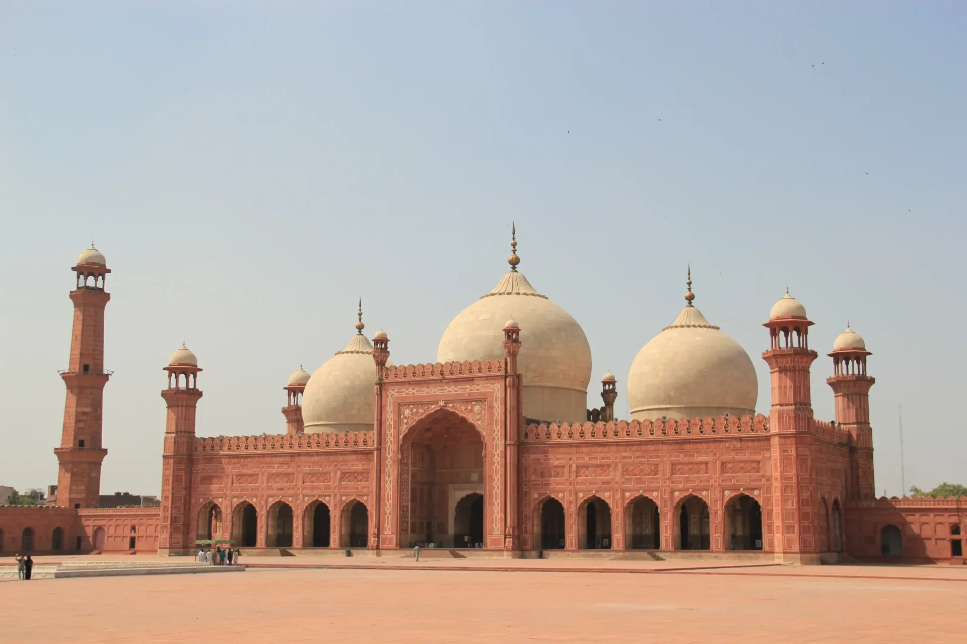
Photo: Romero Maia, with thanks · CC BY-SA 4.0 · via Wikimedia Commons · temporary stand-in photo
Pakistan at a Glance
Capital, population, languages, currency, time zone, climate and the best time to visit: the quick facts you need before exploring Pakistan.
Key facts
- Home to five of the world's 8,000 m peaks, including K2 (8,611 m)
- Cradle of the Indus Valley Civilisation, one of the world's oldest urban cultures
- Four provinces plus Gilgit-Baltistan, Azad Jammu and Kashmir and the capital territory
- Urdu is the national language and English is widely used in tourism
- Something to see in every month, from the Arabian Sea to the Karakoram
Overview
Pakistan stretches from the warm beaches of the Arabian Sea to the glaciers of the Karakoram, over about 881,900 square kilometres. It shares borders with Iran, Afghanistan, China and India. In that space you find high deserts, river plains, ancient cities, forest valleys and some of the tallest mountains on Earth. This page gives you the main facts at a glance, then points you to the topic pages that go deeper.
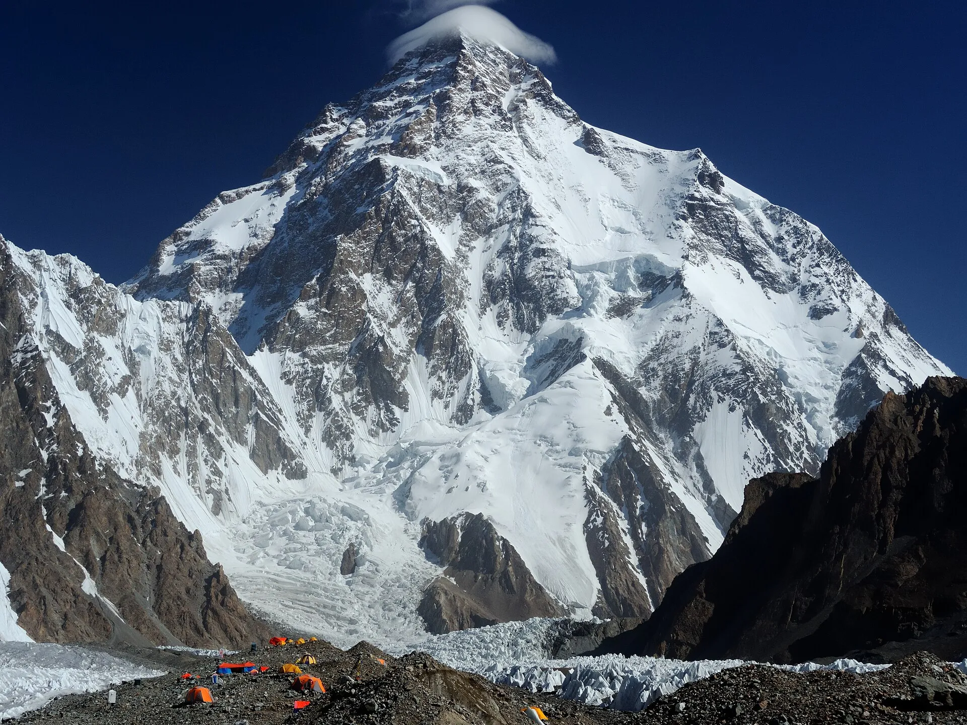
Photo: Zacharie Grossen, with thanks · CC BY-SA 4.0 · via Wikimedia Commons · temporary stand-in photo
Key facts
- Official name: Islamic Republic of Pakistan
- Capital: Islamabad. The largest city is Karachi.
- Population: about 247.5 million in the 2023 census, including Gilgit-Baltistan and Azad Jammu and Kashmir (the four provinces and Islamabad together count about 241.5 million). That makes Pakistan the fifth most populous country in the world.
- Area: about 881,900 km2.
- Administrative units: four provinces (Punjab, Sindh, Khyber Pakhtunkhwa, Balochistan), the Islamabad Capital Territory, and the Pakistan-administered territories of Gilgit-Baltistan and Azad Jammu and Kashmir.
- Languages: Urdu is the national language and English is an official language. Punjabi, Pashto, Sindhi, Saraiki, Balochi and dozens of other languages are spoken at home. See Languages.
- Currency: Pakistani rupee (PKR, written Rs).
- Time zone: Pakistan Standard Time, UTC+5, all year round.
- Calling code: +92. Electricity is 230 V, 50 Hz; plugs of types C and D are the most common, so bring a multi-plug adaptor.
- Driving: on the left.
- Emergency numbers: Rescue 1122 (covers Punjab, Khyber Pakhtunkhwa, Sindh, Gilgit-Baltistan and Azad Kashmir; in Balochistan only along major highways and in Quetta; Islamabad uses a separate service called CARES 1122), Police 15, Edhi Ambulance 115, Motorway Police 130.
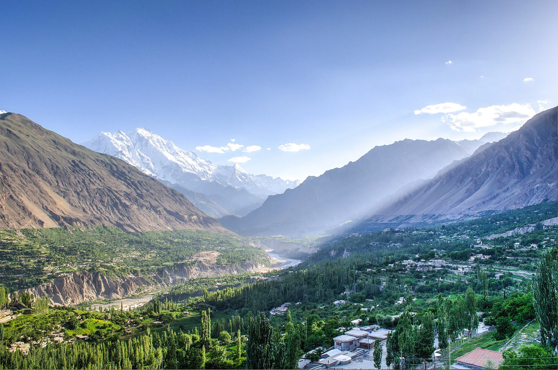
Photo: FaizanAhmad, with thanks · CC BY-SA 3.0 · via Wikimedia Commons · temporary stand-in photo
The country by landscape
The northern mountains. Three great ranges meet here: the Karakoram, the Himalaya and the Hindu Kush. Gilgit-Baltistan holds K2 (8,611 m), Nanga Parbat and the longest glaciers outside the polar regions. This is trekking and mountaineering country, and also home to the Karakoram Highway. See Geography.
The Indus plains. The Indus and its tributaries water the fields of Punjab and Sindh, where most people live. Lahore, Multan, Faisalabad and Hyderabad grew up here, with Mughal forts, Sufi shrines and some of the best food in South Asia.
The Balochistan plateau. Dry, high and very large, Balochistan covers nearly half the country. It has the Makran coast, cool orchard valleys around Quetta and desert distances that reward patient road trippers.
Deserts and coast. The Thar and Cholistan deserts lie in the south-east. The coastline runs for about 1,000 km, from Karachi to the Iranian border, and includes the Indus Delta mangroves.
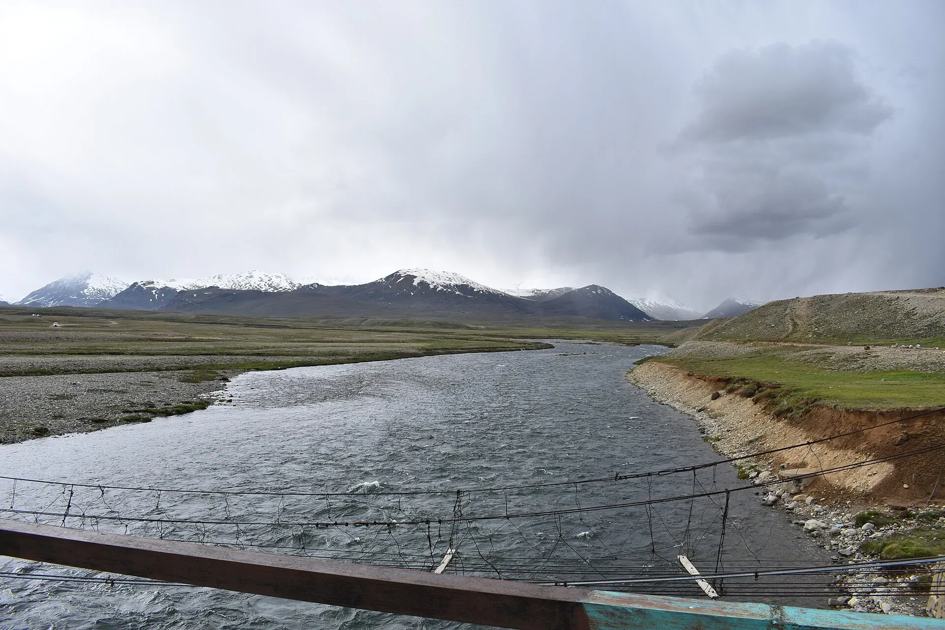
Photo: Syedmuradali22, with thanks · CC BY-SA 4.0 · via Wikimedia Commons · temporary stand-in photo
Climate in brief
Pakistan has four seasons, but they feel very different from place to place.
- Lowlands (Punjab, Sindh): very hot from May to August; the monsoon brings humid rain in July and August; winter from December to February is mild and pleasant.
- Highlands and valleys: cool summers, cold snowy winters. Hill stations such as Murree and Nathia Gali are popular in summer.
- High mountains: short summer from June to September; passes and many high roads are closed in winter.
- Balochistan: mostly dry, with hot summers in the lowlands and cold winters around Quetta.
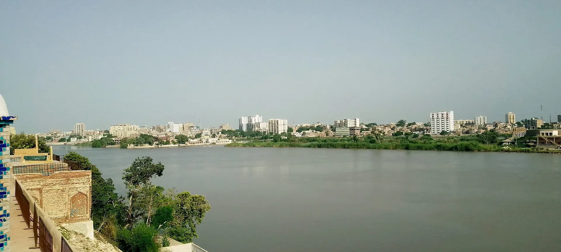
Photo: Nomi887, with thanks · CC BY-SA 4.0 · via Wikimedia Commons · temporary stand-in photo
Best time to visit
There is no single best month, because the country is so varied.
- March to May: spring flowers and orchard blossom in the valleys, comfortable heat in the cities.
- June to September: the main season for the far north, including treks and the Karakoram Highway. Expect monsoon landslides in some areas in July and August.
- October and November: clear skies, autumn colours in Hunza, and pleasant weather almost everywhere.
- December to February: the best time for Sindh, southern Punjab, the coast and the deserts. Snow closes many mountain roads.
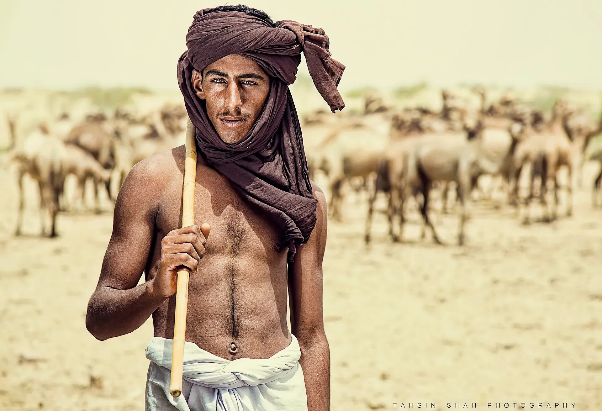
Photo: Tahsin Shah, with thanks · CC BY-SA 4.0 · via Wikimedia Commons · temporary stand-in photo
Explore the topics
- History: from Mehrgarh to today.
- People and Population: who lives where.
- Society and Conduct: hospitality and etiquette.
- Religion and Sacred Sites: shrines, temples, gurdwaras and stupas.
- Languages: including 20 useful Urdu phrases.
- Culture: music, crafts, festivals and sport.
- Food: dishes by region.
- Geography: from the coast to K2.
Good to know
Most visitors need a visa, and some areas need permits or a no-objection certificate. Rules change, so read Visa and permits and check with the official offices before you book. Safety conditions also differ by area, so check current advice for the specific places on your route.
Sources and last checked
Last checked Confidence high8 sources2 still to check
- Last checked
- Method
- Desk research from published sources
- Confidence
- high
- Checked by
- trek.pk research team
Researched from published sources; not yet checked on the ground by our team. Spot something out of date? Report a mistake.
Sources
- 2023 Pakistani census (provincial, urban and total population) · Wikipedia (citing Pakistan Bureau of Statistics) · checked
- K2 · Wikipedia · checked
- List of highest mountains on Earth · Wikipedia · checked
- Police helplines (15, Edhi 115 and others) · Lahore Police, Government of Punjab · checked
- When to call 130, 15, 1122 or 16 in Pakistan · Roadsign.pk (secondary source) · checked
- Pakistan Tourism Guide 2021 · TDAP · checked
- Time in Pakistan · Wikipedia · checked
- Rescue 1122 · Wikipedia · checked
Still to be checked on the ground (2)
- Plug types (C and D) not confirmed from a source we could open; check before travel
- Rescue 1122 coverage in your area: confirm locally


