

What "easy" means here
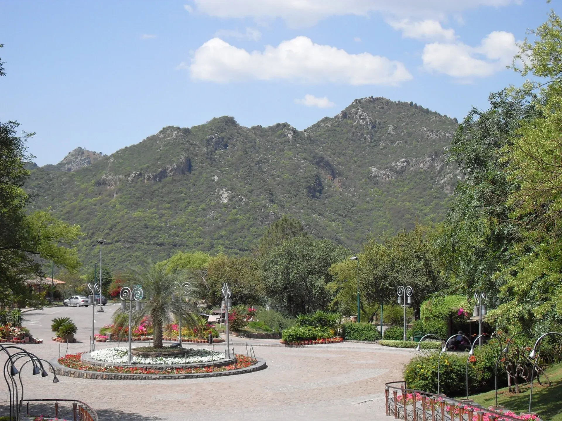
Islamabad is unusual among capitals: a national park starts at the edge of the city. The Margalla Hills National Park has marked trails that residents walk daily, and the Galyat hills, about 80 to 90 km north, offer forest paths at 2,000 to 3,000 m. This list picks ten day hikes within reach of Islamabad. Most are short and well used, but "easy" is relative. Several climb steadily for an hour or more, and none should be done in flip-flops. We say where a hike is gentler or harder.
Rough guide to effort: the first three are the most beginner-friendly, the next four are steady climbs, and the last three are further from the city and need more planning.
The Margalla Hills
The Capital Development Authority (CDA) publishes a numbered list of trails. Times below are the CDA's unless stated.
1. Trail 2: zoo to Daman-e-Koh. The gentlest of the main trails. It starts near Islamabad Zoo and climbs through scrub and pine to Daman-e-Koh, a viewpoint park above the city. The CDA gives 1 to 1.5 hours. Daman-e-Koh is about 730 m above sea level according to one blog. There is a road at the top, so a taxi home is possible. Watch for rhesus macaques and do not feed them.
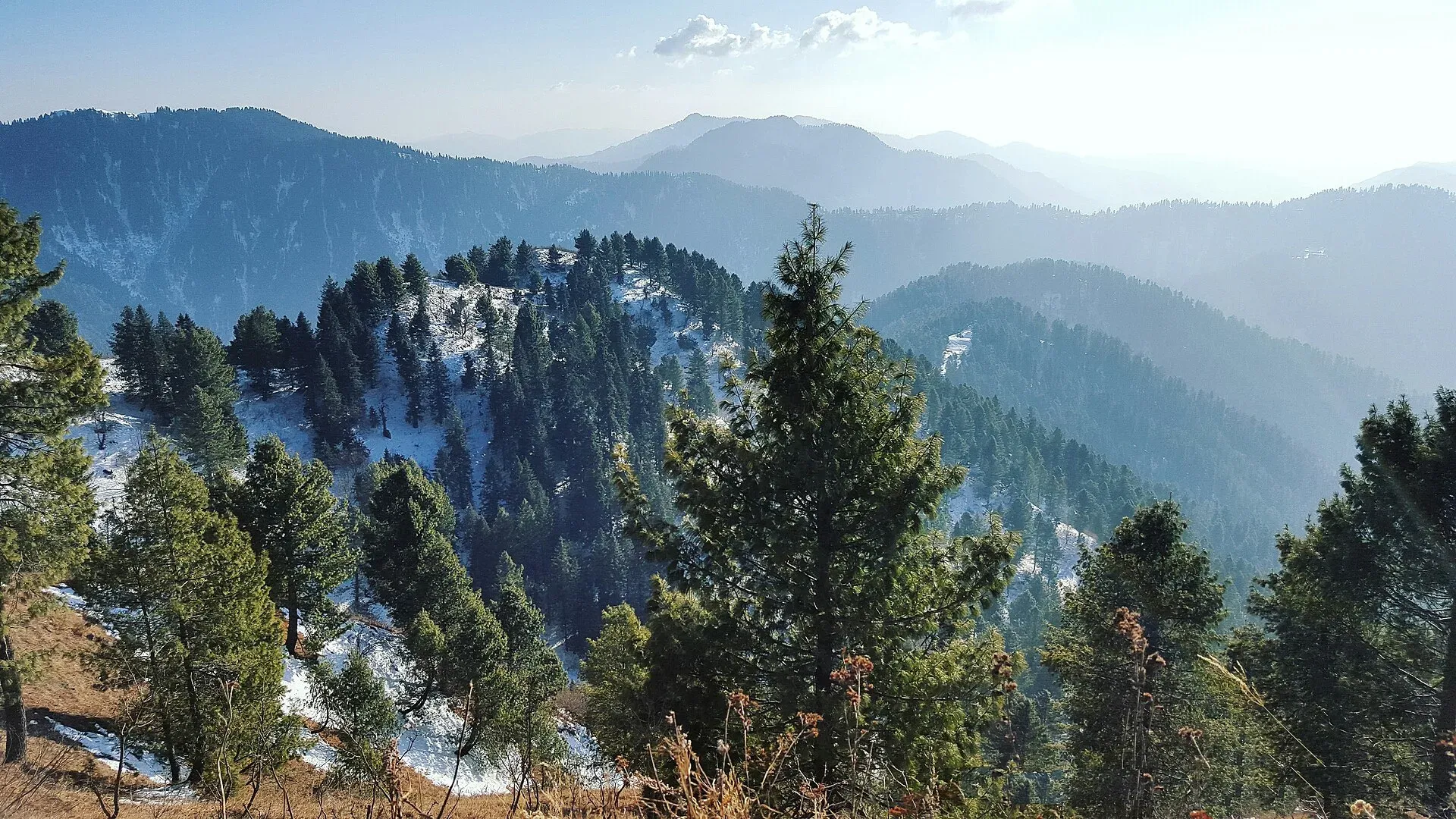
Photo: Fiaz3300, with thanks · CC BY-SA 4.0 · via Wikimedia Commons · temporary stand-in photo
2. Trail 3: Saidpur to Pir Sohawa. The oldest and busiest trail. It leaves Margalla Road at Sector F-6 near Saidpur village and takes about 1.5 hours to the top, with steep sections and a viewpoint along the way. One travel blog gives about 6.1 km, but that is unofficial. It is popular, with rangers and other walkers around, which many hikers find reassuring. Weekdays are calmer. Avoid it if you have heart, blood pressure or breathing problems.
3. Trail 5: F-5 to Pir Sohawa Road. Longer and gentler than Trail 3, with a stream and small waterfall. The CDA says 2.5 to 3.5 hours. Published distances disagree, with GPS records giving about 5.1 km and about 8.2 km, so treat both as rough. The short Trail 4 link joins Trails 3 and 5 if you want a loop.
4. Trail 1: E-8 to Pir Sohawa Road. Steeper and quieter than Trail 3. The CDA gives about two hours. It starts opposite the National Defence University in Sector E-8. At the top a walkway of about 20 minutes leads to the Monal restaurant area.
5. Trail 6: behind Faisal Mosque. A quieter valley trail with a marked path, a bird-watching point and a separate cycling track. This one needs care: the wildlife board warned in 2021 not to use Trails 4 and 6 after sunset because of leopards, and access can change. Check with the CDA or the Islamabad Wildlife Management Board before you go.
6. Trail 7: Siri Saral, Sector C-12. A marked 5 km trail on the western side of the park. The Express Tribune reported in April 2025 that it takes about 120 to 150 minutes. It is quiet, parking is limited and the Tribune notes security is thin, so start early and go in a group.
The Galyat hills
The Galyat region lies in Abbottabad District, roughly 80 to 90 km north of Islamabad. It is a British-era hill-station area with pine, fir and oak forest inside Ayubia National Park. Check the UK advice for your exact district before you plan, since Khyber Pakhtunkhwa has emergency measures and Governor's Rule since 11 October 2026.
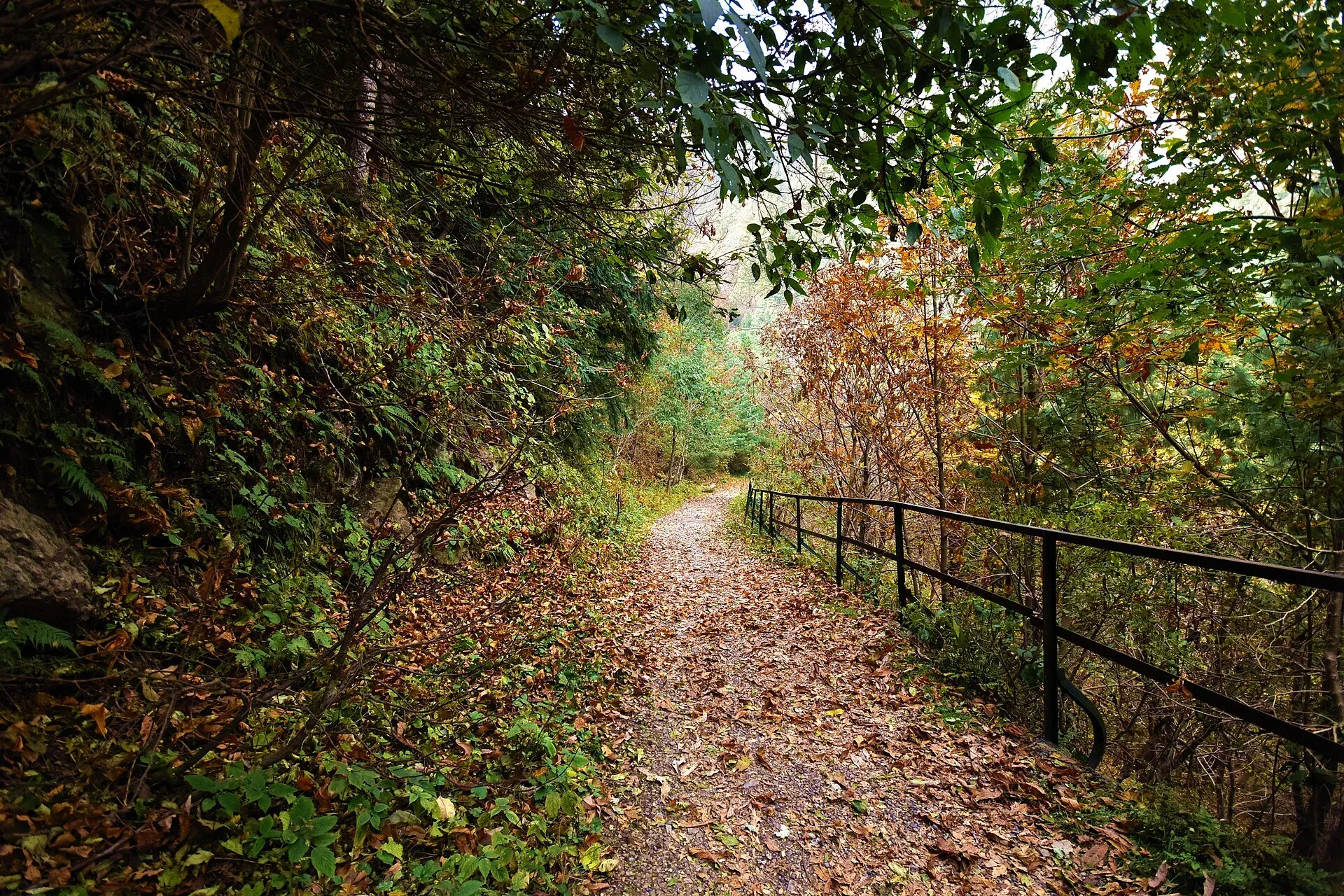
Photo: Kamranki, with thanks · CC BY-SA 4.0 · via Wikimedia Commons · temporary stand-in photo
7. Pipeline Track: Dunga Gali to Ayubia. The easiest walk on this list. It follows an old British-era water pipeline along the hillside under tall pines. Most guides give 3.5 to 4 km, and a direct walk takes 35 to 50 minutes, though most people take one and a half to two hours. It is mostly flat, so it suits families and older walkers. Vehicles are not allowed. Tea stalls near the ends sell drinks and snacks.
8. Miranjani Top, from Nathia Gali. The classic Galyat hike. Miranjani is the highest point in the Galyat at 2,992 m. The path starts at about 2,330 m and climbs about 650 m through forest to a grassy summit. Published distances vary from 4.7 to 5 km one way. Allow 2.5 to 3.5 hours up and a half day in total. It is a steady climb, not technical. Start in the morning, because cloud often builds by midday.
9. Mushkpuri Top, from Dunga Gali. A short but steep climb to a grassy summit. Wikipedia gives about 2,800 m, but other sources quote up to 3,150 m, so treat the height as rough. Allow two to three hours up. The summit is colder and windier than the town, so carry a warm layer.
The Salt Range
10. Tilla Jogian, near Jhelum. The highest point in the eastern Salt Range, at about 975 m, with a ruined temple complex of the Kanphata jogi order near the summit. Wikipedia describes a climb of about 3 km with nearly 500 m of ascent from Bhet village. It is further from Islamabad than the others and would be a long day trip. There are no developed paths to the temples, so expect rough ground, and treat the site with respect.
When to go
October to April is the comfortable season for the Margalla trails. From May to September go at first light, because the heat builds quickly, and expect slippery paths in the monsoon (July to September). The Galyat hikes are best from May to October, and snow can complicate them in winter. Tilla Jogian is pleasant in the cooler months.
Safety and park rules
- Leopards live in the Margalla Hills and in the Galyat forest. Hike in daylight, go in a group and be off the trail well before sunset.
- Fees. The CDA lists no fee for the main trails, but the Islamabad Wildlife Management Board announced in 2023 that fees apply for organised activities and did not publish amounts. Current fees will be added soon. Ask at the trailhead or the CDA.
- Water. Carry about one litre for each hour of walking in hot weather. There is none on most trails.
- Waste. Take everything home. Littering and smoking have been reported at the Pir Sohawa end.
- Wildlife. Do not feed monkeys. They can bite.
Day-hike checklist
- Shoes with grip, not sandals.
- Water and a small snack.
- Sun hat, sunscreen and a light rain layer.
- Phone with offline map, charged.
- A friend or group, especially on quieter trails.
- A plan to be back before dusk.
- A bag for your rubbish.


