

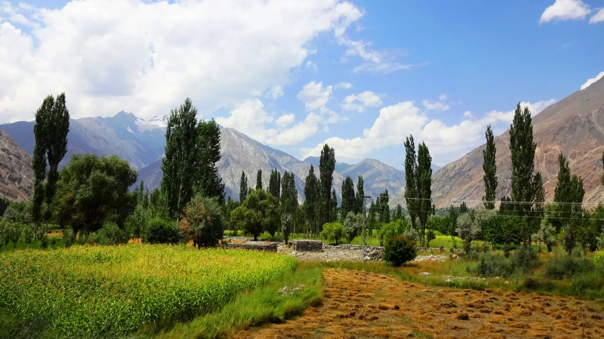
Photo: EAhmadNawaz, with thanks · CC BY-SA 4.0 · via Wikimedia Commons · temporary stand-in photo

Asumbar Haghost
A gentle, grassy, non-glaciated pass of about 4,500 to 4,560 m between Asumbar in Ishkoman and Dal Sandhi in Yasin. One of the easiest high passes in the region.
Overview
Asumbar Haghost (also Asumbar An, Ishkoman Haghost, Iskhoman Pass or Assumbar Pass) links Asumbar village in the Ishkoman valley with Dal Sandhi in the Yasin valley. An is a local word for a pass. Wikipedia's Yasin Valley article says it connects Yasin to Ishkoman and that most tourism in the valley goes along it. The Punji Pass is sometimes given the same name, so check which one a guide means.
Height. The c. 2002 guidebook says about 4,560 m. Operators list roughly 4,400 to 4,500 m. Treat it as about 4,500 m and trust your altimeter. No official survey figure is published.
Plan your visit
- Nearest town
- Gahkuch
- Getting there
There is no road over the pass. See the trek pages below for the roadheads at each end. More
Best months
Jul – Sep
- Asumbar Haghost
- Related places nearby: Ishkoman Valley, Yasin Valley, Ghizer Valley
The two valleys
The Ishkoman valley is in the north of Ghizer District. Wikipedia gives its height range as about 2,100 to 3,700 m and says it borders Afghanistan and the Wakhan Corridor. Shina, Khowar, Burushaski and Wakhi are all spoken there.
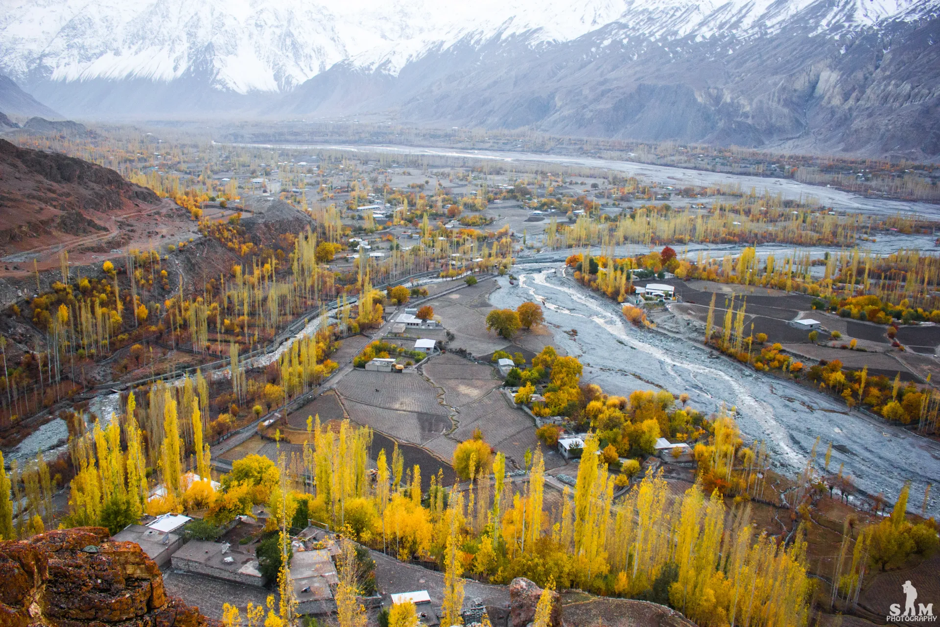
Photo: Samikhan86, with thanks · CC BY-SA 4.0 · via Wikimedia Commons · temporary stand-in photo

Wikipedia puts the Yasin valley about 148 km from Gilgit, and describes the usual road in from Islamabad as the Karakoram Highway and then the Shandur road through Gupis. Several other passes lead out of Yasin: Wikipedia lists Thoi (4,499 m) to the Yarkhun valley in Chitral, Darkot (4,570 m) towards Wakhan and Chitral, and Attar (4,700 m) to Darkut and Ishkoman. Asumbar is described as one of the easiest.
Crossing the pass
A four-day trek with no ice, no scrambling and no important river crossing. The trail is clear. Camps rise to about 4,000 m; the highest named camp is Upper Borta Bort at 3,990 m.
- Day three: climb grass for about an hour to the flat, flowery pass, then descend to Mayur (3,630 m).
- Day four: about 18 km, all downhill, to Dal Sandhi in Yasin.
Underfoot. Mostly grass and firm ground, with no glacier on the standard route. The pass can hold snow into early July. Porters use donkeys.
A guide is not essential but helps with the start. A side valley from Wakhikandeh leads to the harder Asumbar An (about 4,800 m).
When to go
Mid-July to mid-September. Snow lies on the pass until about the end of June.
Permits and safety
Open zone in Gilgit-Baltistan. Dawn reported on 29 March 2026 that foreign visitors to open-zone areas do not need a trekking permit, while permits from the GB Tourism Department are needed only for treks and climbs in restricted zones. Fee rules were disputed in 2025 (Dawn, 29 April 2025). Current fees will be added soon; check with the GB Tourism Department or a registered operator before you go.
Security. The UK FCDO's Pakistan page (updated 27 October 2026) does not list Ghizer among the areas it advises against, but read the live advice before you plan.
Treks that cross it
Highlights
- A gentle, grassy, non-glaciated pass of about 4,500 to 4,560 m between Asumbar in Ishkoman and Dal Sandhi in Yasin
Getting there
There is no road over the pass. See the trek pages below for the roadheads at each end.
Tips
- Confirm the height and route with a local guide or operator before you go
- Check current permit and NOC rules before booking
Photos we still need: the pass summit or the Mayur camp. Send us yours
Sources and last checked
Last checked Confidence medium6 sources5 still to check
- Last checked
- Method
- Desk research from published sources
- Confidence
- medium
- Checked by
- trek.pk research team
Researched from published sources; not yet checked on the ground by our team. Spot something out of date? Report a mistake.
Sources
- Asumbar Haghost (legacy trek.pk page from Lonely Planet text, c. 2002; facts only) · trek.pk / Lonely Planet · checked
- Asumbar and Punji Pass trek · Hunza Guides Pakistan · checked
- Yasin Valley · Wikipedia · checked
- GB tourism stakeholders trade blame as permit fees remain undecided · Dawn · checked
- Pakistan travel advice · UK FCDO · checked
- Ishkoman Valley · Wikipedia · checked
Still to be checked on the ground (5)
- Pass height: 4,560 m (guidebook), 4,400 to 4,500 m (operators); no survey figure
- Whether the Asumbar-Pakora road and footbridges have changed
- Current jeep and bus times from Gilgit
- Pass coordinates not found; shown at the Ishkoman valley centre used on this site.
- Whether Dal Sandhi (the pass-side village) is the same place as the Sandhi village photographed
Nearby and related

Asumbar Haghost

Punji Pass

Thui An

Other treks in Ghizar

Ishkoman Valley
A quiet glacier and trout valley north of Gahkuch in Ghizer, with Chatorkhand, Dain waterfall, Phakora and the road end at Imit, and treks towards Yasin, Naltar and Karambar Lake.
Yasin Valley
A high Hindu Kush valley in northern Ghizer, reached by road from Gupis, with Burusho villages, the Thui and Darkot routes and Darkot village at its head.
Ghizer Valley
The long upper Gilgit River valley running west from Gilgit to Shandur, with Punial orchards, Gahkuch, Gupis, Khalti and Phander lakes, trout fishing and side valleys to Yasin and Ishkoman.