

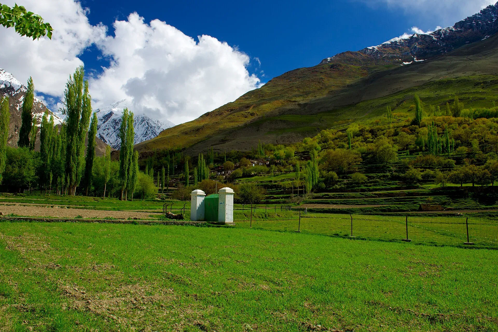
Photo: Najeebmahmud, with thanks · CC BY-SA 4.0 · via Wikimedia Commons · temporary stand-in photo

Barpu Glacier
A 33 km glacier in Nagar, formed where the Sumayar Bar and Miar glaciers meet below Malubiting. A six-day trek from Hopar follows its edge, with five glacier crossings and big views of Spantik, Diran and Ultar.
Overview
The Barpu Glacier lies in the Hopar valley of Nagar District, Gilgit-Baltistan. The Sumayar Bar and Miar glaciers, which flow from Malubiting (7,458 m) and from the Miar and Phuparash peaks, join to form it. An older guidebook gives its length as 33 km. No authoritative current figure is known, so treat 33 km as approximate; the glacier may have shortened since. Its outwash stream flows north-west towards the Bualtar Glacier opposite Hopar.
Around it stand Spantik (7,027 m), Diran and Ultar, with Malubiting at its head.
Plan your visit
- Nearest town
- Hopar
- Getting there
Hopar is about 10 km from Nagar Khas on the Nagar side of the Hunza River (Wikipedia). Ask locally about jeep and taxi options. More
Best months
Jun – Oct
Hopar and the glaciers around it
Hopar (also spelled Hoper) is about 10 km from Nagar Khas, the main town of Nagar. Its villages sit in a natural bowl, and people there speak Burushaski. Five glaciers meet in the valley: Hoper, Barpu, Miar, Daranci and Geentur (also called Supulter). Peaks above it include Spantik (7,027 m), Bawalter Peak (7,126 m, the source of the Hoper Glacier) and Miar Peak (7,257 m). Rush Lake and Rush Peak are the most visited spot in the valley; see the Rush Phari page.
Livestock in the valley includes goats, yaks and sheep. Wild animals recorded include Himalayan ibex, foxes and snow leopards.
The trek
The Barpu Glacier trek goes from Hoper to Girgindil and back in about six days, covering roughly 42 km, with five glacier crossings. The stages on the trek page run as follows.
- Hoper to Bericho Kor: a steep drop to the Bualtar Glacier and a crossing of broken ice, which can take from 30 minutes to 3 hours. The route then crosses the Barpu in about 45 minutes and follows a dry ablation valley (the hollow between glacier and hillside) past Barpugram and Mulharai. Carry all your water: none is reliable until Bericho Kor.
- Bericho Kor to Phahi Phari: a short, easy walk. After about an hour comes Dachigan, where a big boulder carries ibex carvings; the Mir of Nagar once hunted here. Phahi Phari has reliable water and shade.
- Phahi Phari to Girgindil: the valley becomes forested, with flowers and meadows. Chukutans, with several huts, comes after an hour, and Girgindil, with a hut and meadows, is two hours beyond. The ridge above camp gives views of Spantik.
- Girgindil to Sumayar Bar: back to Chukutans, then across the Sumayar Bar Glacier to huts near the meeting of the Sumayar Bar and Miar glaciers.
- Sumayar Bar to Hapakun: across the wide Miar Glacier to the Miar settlement, then along the Barpu's south-west margin past Hamdar to Hapakun.
- Hapakun to Hoper: through Upper and Lower Shishkin and back over the Bualtar Glacier. The route may have moved since the first-day crossing.
A guide is essential because the ice shifts.
When to visit
Mid-June to October. Midsummer is warmest; September and October bring clear skies. In Hopar, spring runs from April to June, summer from July to September and autumn in October. Winter, from November to March, brings heavy snowfall.
Where to stay and eat
You camp on the trek. In Hopar and Karimabad there are guesthouses before and after.
Good to know
- Permits. This is an open-zone area. Dawn reported on 29 March 2026 that foreign visitors to open-zone areas do not need a trekking permit, while permits are needed only for restricted zones; an older 2017 interior-ministry NOC rule was reported at the time, and there is no known 2025-26 source confirming it still applies. Check with the Gilgit-Baltistan Tourism Department or a local operator. Current fees will be added soon.
- Climate. Glaciers in the central and western Karakoram have behaved differently from most of the world's glaciers. Some studies report them holding steady or even gaining mass, which is called the "Karakoram anomaly"; eastern Karakoram glaciers have been retreating more clearly. Even so, rising temperatures bring hazards. Pakistan's climate ministry and UNDP report 3,044 glacial lakes in Gilgit-Baltistan and Khyber Pakhtunkhwa, of which 33 were assessed as prone to dangerous outburst floods (GLOFs). The UNDP-run GLOF II project, funded by the Green Climate Fund, covers 24 valleys with early-warning systems.
- Safety. Crossing the glacier needs a guide who knows the current route. Read the glacier travel basics article.
- Travel advice. For foreign visitors: the UK FCDO page for Pakistan (updated 27 October 2026, checked 16 November 2026) does not advise against Gilgit-Baltistan as a whole. It does advise against all travel on the Karakoram Highway (KKH) between Mansehra and Chilas, the usual road route from Islamabad, so check the live page before you plan and consider flying to Gilgit or Skardu (weather permitting).
Highlights
- About 33 km long
- Formed by the Sumayar Bar and Miar glaciers
- Six-day trek with five glacier crossings
- Views of Malubiting, Spantik, Diran and Ultar
Getting there
Hopar is about 10 km from Nagar Khas on the Nagar side of the Hunza River (Wikipedia). Ask locally about jeep and taxi options. For foreign visitors: the UK FCDO page for Pakistan (updated 27 October 2026, checked 16 November 2026) does not advise against Gilgit-Baltistan as a whole. It does advise against all travel on the Karakoram Highway (KKH) between Mansehra and Chilas, the usual road route from Islamabad, so check the live page before you plan and consider flying to Gilgit or Skardu (weather permitting).
Tips
- Hire a Hopar guide or porter.
- Carry spare food for weather delays.
- Allow spare days for weather.
- Start crossings early in the day.
Photos we still need: Barpu Glacier ablation valley, Phahi Phari camp or the Bualtar Glacier crossing; Barpu and Miar glaciers with Spantik or Malubiting. Send us yours
Sources and last checked
Last checked Confidence medium9 sources2 still to check
- Last checked
- Method
- Desk research from published sources
- Confidence
- medium
- Checked by
- trek.pk research team
Researched from published sources; not yet checked on the ground by our team. Spot something out of date? Report a mistake.
Sources
- Barpu Glacier (old trek.pk page, text from Lonely Planet Trekking in the Karakoram and Hindukush, c. 2002; facts only) · trek.pk / Lonely Planet · checked
- List of glaciers in Pakistan · Wikipedia · checked
- Gilgit-Baltistan tourism bounces back despite Middle East war (permit rules for open and restricted zones, 29 March 2026) · Dawn · checked
- Glacier-Related Hazards Along the International Karakoram Highway: Status and Future Perspectives · Frontiers in Earth Science (2021) · checked
- Glacial Lake Outburst Flood GLOF-II · Ministry of Climate Change and Environmental Coordination, Pakistan · checked
- Scaling-up of GLOF risk reduction in Northern Pakistan (GLOF II) · UNDP Pakistan · checked
- Pakistan travel advice · UK Foreign, Commonwealth & Development Office · checked
- Nagar Valley · Wikipedia · checked
- Hopar Valley (Wikipedia) · Wikipedia · checked
Still to be checked on the ground (2)
- Glacier length and area (33 km from a c. 2002 guidebook only; no current authoritative figure)
- Current permits and fees
Nearby and related

Barpu Glacier

Rush Phari (Rush Lake)

Ultar Meadow

Nagar Valley
The quieter bank of the Hunza River, facing Karimabad: Minapin, Hoper and Hispar villages, Rakaposhi viewpoints and easy treks below Rakaposhi, Diran and Spantik.

Nagar (district HQ)
Nagarkhas, also called Oyum-Nagar, the administrative centre of Nagar District in Gilgit-Baltistan and the old capital of the Nagar state, beneath Rakaposhi.

Karimabad (Hunza)
The main town of Hunza, set on a terrace below Baltit Fort with Rakaposhi, Ultar and Diran in view. A good base for forts, viewpoints, Attabad Lake and the road to Gojal.
Malubiting
Malubiting (7,458 m) is a peak in the Rakaposhi-Haramosh range, about 50 km east of Gilgit. It was first climbed in 1971 by an Austrian team.
Miar Glacier (Hoper, Nagar)
A glacier in the Hoper valley of Nagar, on the north side of Miar Peak. It joins the Sumayar Bar glacier to form the Barpu Glacier, and the route to Rush Lake crosses it.