

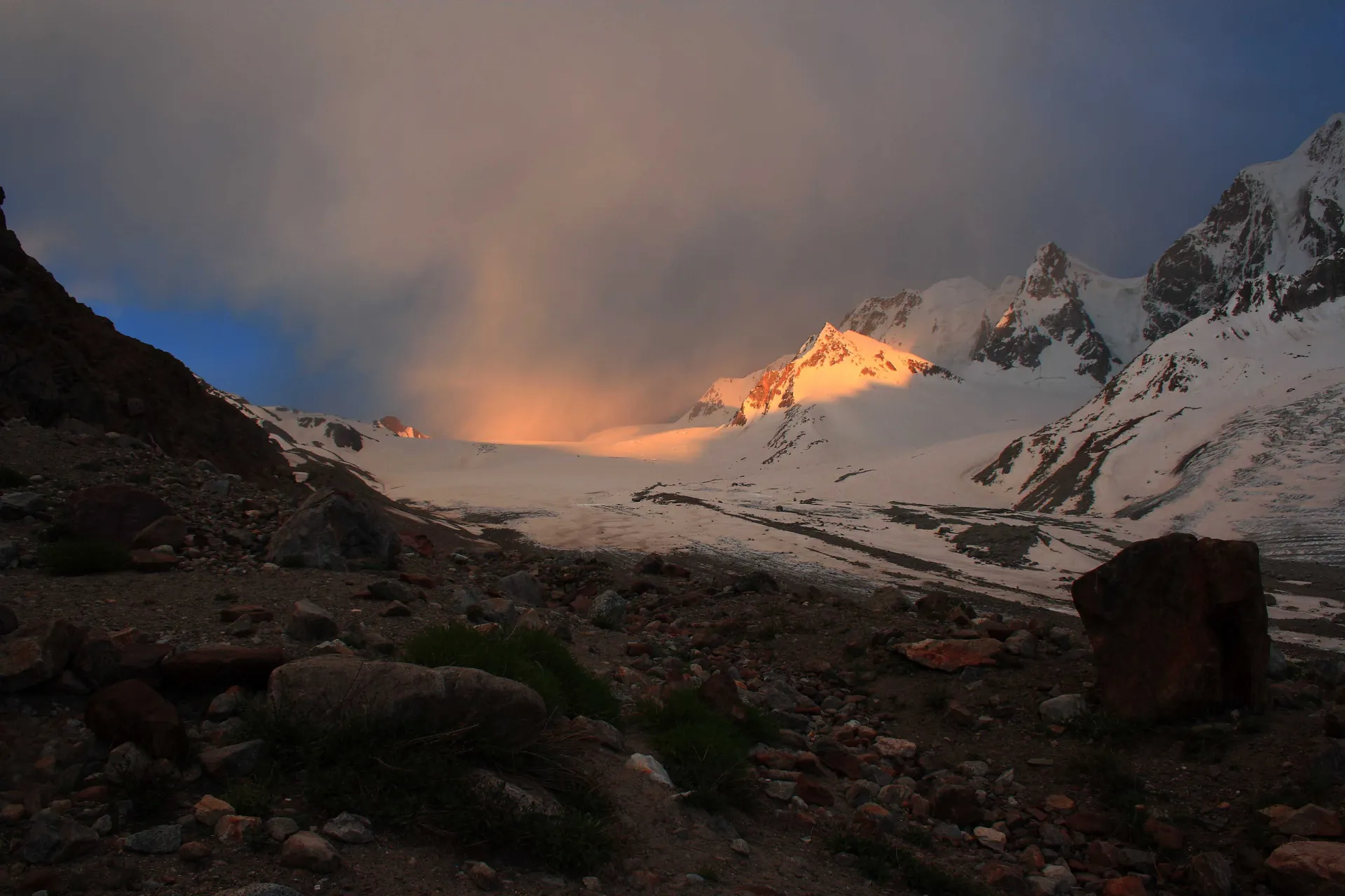
Photo: Abdul.wasiq, with thanks · CC BY 3.0 · via Wikimedia Commons · temporary stand-in photo

Darkot Pass
A glaciated pass of about 4,650 to 4,703 m between the upper Yarkhun valley in Chitral and Darkot in Yasin. Technical, restricted-zone and crossed in summer.
Overview
Darkot Pass, called Darkot An locally (an means pass), crosses the Hindu Raj between Broghil in Upper Chitral and Rawat and Darkot at the head of the Yasin valley in Ghizer. The boundary between Chitral and Gilgit-Baltistan runs through it, over the Darkot Glacier. It is a trekking pass, about 16 km east of Koyo Zom (6,872 m), the highest peak in Ghizer.
Height. Wikipedia gives 4,703 m. The older Lonely Planet guide and the trek.pk crossing notes use about 4,650 m, and Apricot Tours lists 4,575 m. Wikipedia's figure has no stated source, so the range is shown.
Plan your visit
- Nearest town
- Darkot
- Getting there
There is no road over the pass. From the Yasin side, jeeps reach Darkot from Gilgit via Gupis (a long day). From the Chitral side, the nearest road is the Yarkhun valley road toward Broghil, reached from Mastuj. More
Best months
Jul – Sep
- Darkot Pass
- Related places nearby: Yasin Valley, Broghil Valley National Park, Ghizer Valley
The crossing
Most people cross it as the final stage of the 11-day Karambar An and Darkot An trek from Bort in Ishkoman. The crossing from Chikar to Darkot is about 25 km, with a climb of about 1,080 m and a drop of about 1,890 m, over a crevassed glacier.
The trek.pk notes give these stages from the Chitral side.
- Chikar (3,570 m). The last village before the pass, with large meadows for camping and small shops. Goods are brought up from Darkot village.
- Upper valley. One camp is about 1.5 hours beyond Chikar, with water running over scree. A better one is 30 minutes farther, at the upper limit of the willow scrub about 6 km from Chikar.
- Darkot An Base Camp (4,140 m). Room for three or four tents, with clear water from a side valley. Leave early: snow on the pass softens by mid-morning.
- Crossing day. About 5.5 to 6 hours and 11.6 km from base camp to Rawat. The climb takes 2.5 to 3 hours: over the lateral moraine (the ridge of rubble at the glacier's edge), across a ravine, then up the left side of the glacier towards a rock outcrop at its head. A 30-degree slope beside the outcrop takes about 45 minutes and is climbed roped. The broad top is crevassed and takes about 30 minutes to cross, avoiding the heavily crevassed middle and the west edge.
- Descent. About 1,500 m over 5 km. The route contours below a crevassed bowl and follows the west edge of the Zindikharam Glacier, which can be icy and need step cutting. A steep descent of about 1.5 hours from the glacier snout leads to Rawat (3,100 m), passing the trail to a hot spring (see Rawat hot spring).
Apricot Tours describes the same crossing from the Yasin side, over the lateral moraine and flat glacier surfaces, with the Darkot side steeper and wet and slippery in the early sun. It lists a short climb to Lalay Rabat, at the upper limit of the Boroghil region, on the Chitral side.
The Darkot side
From Rawat, about two to two and a half hours (7.3 km) lead to Darkot (2,760 m), over footbridges, a steep 100 m climb over Darband and then about 45 minutes on a jeep road. Darkot is the last village of the Yasin valley and a hub of routes to Chitral, Ishkoman and other valleys, according to a Commons caption. See Yasin Valley. Jeeps to Gilgit take about nine hours and are infrequent, according to the trek.pk notes.
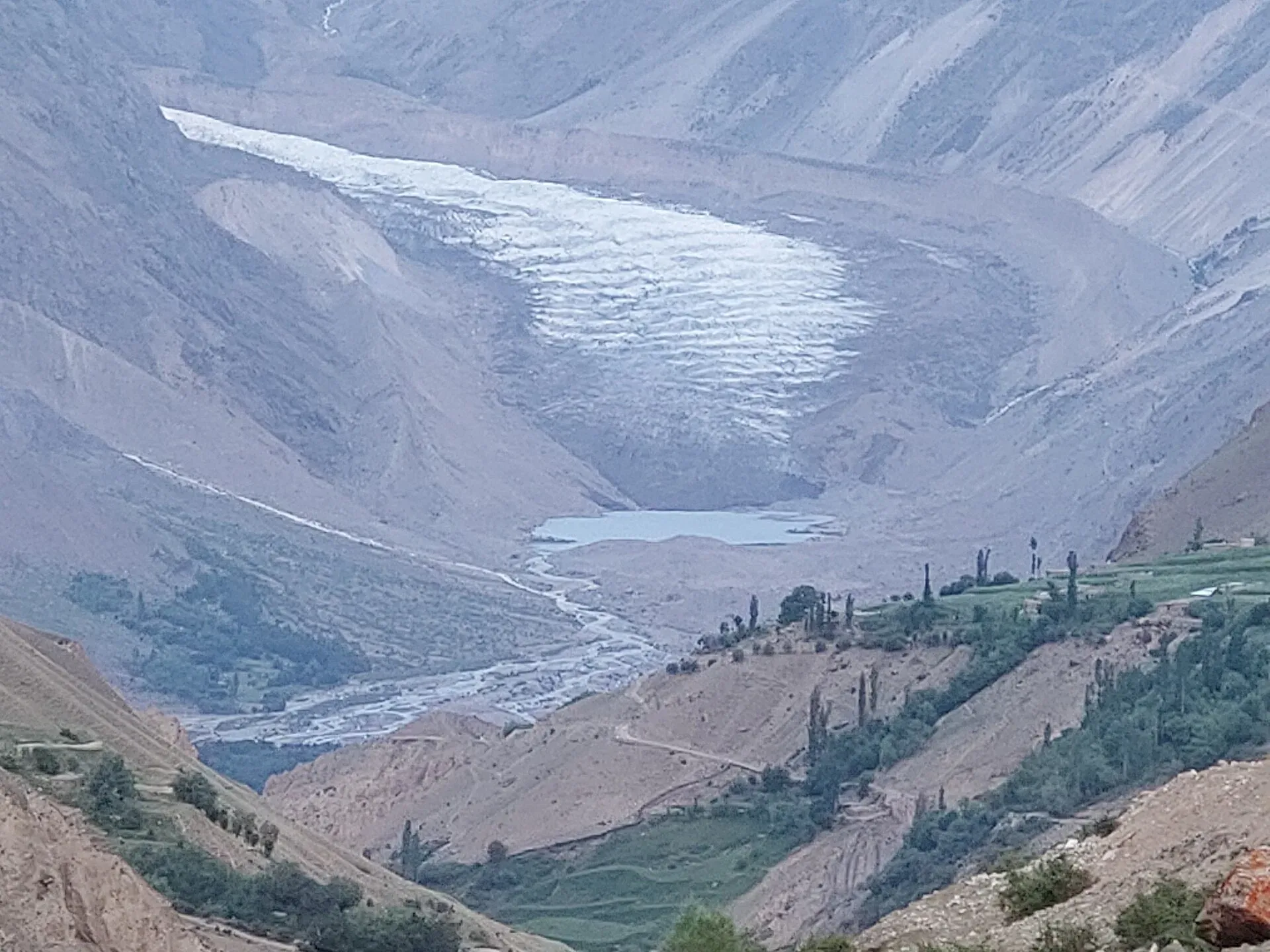
Photo: Shakeelgilgity, with thanks · CC BY-SA 4.0 · via Wikimedia Commons · temporary stand-in photo

History
The explorer George Hayward was murdered at Darkot in 1870 during the Great Game, and is buried in Gilgit. The Lonely Planet text also says a Chinese army is said to have crossed the pass in AD 747 on its way to Gilgit, but that is tradition and is not confirmed here.
When to visit
Wikipedia says the pass is open from May to October. Trek guides use July to September, which is safer. Cross early: snow on the Darkot An softens by mid-morning. The trek.pk page advises crossing before 9 am.
Where to stay and eat
Camping on the route, then guest houses in Darkot and Yasin after the pass. Herders at Chikar can guide you across. Camping fees are charged at Chikar and Darkot.
Good to know
- Technical. Bring rope, harness and ice axe. Crampons are optional on the trek.pk page; Apricot Tours advises them on the descent. The glacier is crevassed except along the standard line, and the line changes from year to year. A local guide from Chikar is essential.
- Permits. Restricted zone. On the Gilgit-Baltistan (Ghizer) side, the GB Tourism Department says restricted-area treks need a permit and licensed guide through a licensed operator. The Chitral side is in Khyber Pakhtunkhwa, a separate system. Sources disagree on whether an NOC (no-objection certificate) is needed there; KP launched an online NOC system in July 2025 and a 6 May 2026 Senate panel report says foreigners need one for Chitral. Current fees will be added soon.
- Border. The area is close to the Afghan border. Carry your passport or CNIC.
Highlights
- Glaciated Hindu Raj crossing at about 4,650 to 4,703 m
- Links Broghil in Chitral and Darkot in Yasin
- Historic route of the Great Game era
- Final pass of the Karambar An trek
Getting there
There is no road over the pass. From the Yasin side, jeeps reach Darkot from Gilgit via Gupis (a long day). From the Chitral side, the nearest road is the Yarkhun valley road toward Broghil, reached from Mastuj.
Tips
- Hire a herder from Chikar for the glacier
- Cross before 9 am, while snow is firm
- Carry crevasse rescue gear
- Confirm NOC and permit rules before booking
Photos we still need: the Darkot Glacier crossing and base camp. Send us yours
Sources and last checked
Last checked Confidence medium7 sources4 still to check
- Last checked
- Method
- Desk research from published sources
- Confidence
- medium
- Checked by
- trek.pk research team
Researched from published sources; not yet checked on the ground by our team. Spot something out of date? Report a mistake.
Sources
- Darkot Pass (Wikipedia) · Wikipedia · checked
- Legacy trek.pk page (text from Lonely Planet, Trekking in the Karakoram and Hindukush, c. 2002; facts only) · trek.pk / Lonely Planet · checked
- Darkot Pass Trek via Yarkhun · Apricot Tours · checked
- Darkot and Broghil Pass Trek · Hunza Guides Pakistan · checked
- GB tourism stakeholders trade blame as permit fees remain undecided · Dawn · checked
- KP Tourism Department launches online NOC system for foreign tourists · Associated Press of Pakistan · checked
- Senate panel flags hurdles to Chitral tourism (6 May 2026) · The Express Tribune · checked
Still to be checked on the ground (4)
- Pass height: 4,575 m (Apricot Tours), about 4,650 m (Lonely Planet, trek page) or 4,703 m (Wikipedia, unsourced); no survey figure found
- NOC and permit requirement on the Chitral side (sources disagree; the operator page only mentions a licensed guide)
- Opening months for the glacier line (Wikipedia says May to October; operator departures are 20 June to 10 July)
- Distance Chikar to Darkot (about 25 km on this page; the trek.pk stage figures sum differently)
Nearby and related

Karambar An and Darkot An

Broghil and Karambar An

Punji Pass

Yasin Valley
A high Hindu Kush valley in northern Ghizer, reached by road from Gupis, with Burusho villages, the Thui and Darkot routes and Darkot village at its head.

Broghil Valley National Park
A remote high valley at the northern tip of Chitral beside the Wakhan Corridor, with about 30 lakes, glaciers, Wakhi and Kyrgyz communities and rare wildlife. Reached only by a long mountain drive.

Ghizer Valley
The long upper Gilgit River valley running west from Gilgit to Shandur, with Punial orchards, Gahkuch, Gupis, Khalti and Phander lakes, trout fishing and side valleys to Yasin and Ishkoman.

Chitral Valley
The long Chitral River valley at the foot of the Hindu Kush, with Chitral town's fort and Shahi Mosque, the Lowari Tunnel route, Tirich Mir views and side valleys leading to Kalash and Shandur.
Rawat Hot Spring (Karambar)
A hot spring near Rawat, a remote herders' settlement below the Zindikharam Glacier on the Darkot An route in Ghizer. Known only from our trek page.