

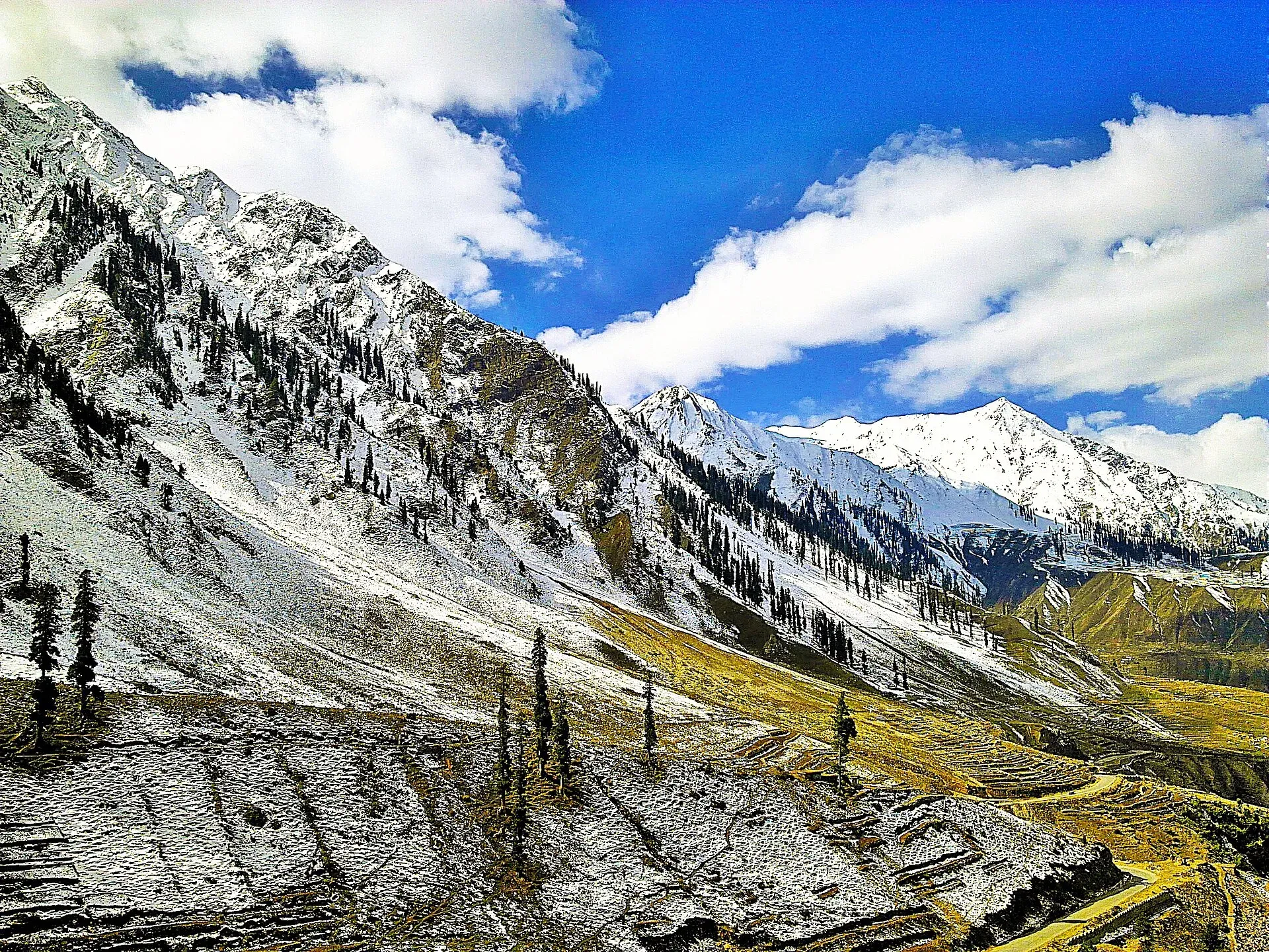
Photo: Ahmad Bilal Shams, with thanks · CC BY-SA 4.0 · via Wikimedia Commons · temporary stand-in photo

Noori Top (Naran-Jalkhad)
A high jeep-only track of about 13,000 ft linking Jalkhad in the Kaghan valley with Sharda in the Neelum valley. Summer only, rough, and the Neelum end is in Azad Kashmir.
Overview
Noori Top (also written Noori Naar or Nori Top) is a jeep track over the ridge between the Kaghan valley and the Neelum valley. It runs between Sharda in Azad Kashmir and Jalkhad on the Naran-Babusar road. It is not a paved road and not an official trekking route. The Frontier Works Organisation (FWO) built it, and a monument to the builders stands near the Naran end.
The height is not well sourced. The News (16 May 2021) gave about 13,000 ft, which is about 3,960 m, and put Sharda at about 6,500 ft and Jalkhad at about 10,500 ft. Other web guides give lower figures. Treat the top as roughly 3,700 to 3,960 m.
Plan your visit
- Nearest town
- Jalkhad (Naran side) or Sharda (Neelum side)
- Getting there
From Naran, drive north on the Babusar road to Jalkhad (about 10,500 ft per The News), where the jeep track starts. From the Neelum side, the track starts at Sharda. A local jeep operator is needed. More
Best months
Jul – Sep
- Noori Top (Naran-Jalkhad)
- Related places nearby: Naran, Kaghan Valley (with Naran), Neelum Valley, Babusar Pass
The route, from Sharda to Jalkhad
This order follows The News's October 2020 account of the drive.
- Sharda. A road branches off just before the village towards the top. An army checkpost is nearby; the soldier there gave no clear answer on whether the route was open.
- Lower climb. The first few miles are a smooth black road through villages, then the surface turns to shingle (loose gravel).
- Pine forest and gorge. The track passes thick pine forest, with a stream from the top running through a gorge below. Small glaciers lie in the gorge and sometimes cover the stream. Timber trucks and construction trucks can block narrow turns.
- High pastures. About an hour in, the land opens into grassland with red and blue flowers. Shepherds' huts stand on the pastures, and Gujjar shepherds graze their herds in summer.
- Stream crossings. Shifting rocks in the streams can damage a jeep's engine.
- The zigzag. A steep zigzag section is among the steepest the author had driven. The FWO kept the track fairly wide.
- The top. About three hours after Sharda. It is windy and cold. The Neelum valley lies to the east and the Naran valley to the west. A lake called Noori Naar lies nearby, but reaching it takes several hours on foot.
- Descent to Jalkhad. Grazing land lies on both sides of the Jalkhad stream, with mostly empty shepherd huts. The track is narrow in places. About two hours after the top it meets the Naran-Babusar road.
The whole run took about five hours with stops. Driven the other way, the climb starts at Jalkhad at about 10,500 ft.
When to visit
Sources disagree about the season, but all treat it as summer only. Web guides give July to September, with the track shut by snow in winter and by rain and landslides in spring. The News's author was told it was closed after the monsoon, and went in October to find the shepherds already gone from the high pastures. July to September is the usual window; check current conditions at Naran before you start. Closures also depend on the Mansehra-Naran-Jalkhad road.
Where to stay and eat
Stay in Naran or Sharda. There is no settlement, food or lodging on the track; carry supplies.
Good to know
- Vehicles. Only high-clearance 4x4 jeeps or SUVs are suitable, not cars. The News's author advised going in at least two vehicles because there is no support on the track. Expect difficult stream crossings, steep narrow sections and sometimes a blocked road.
- Ask the district administration or local police about current conditions before you go.
- Travel advice. For foreign visitors: the UK FCDO (updated 27 October 2026, checked 16 November 2026) advises against all but essential travel to Azad Jammu and Kashmir and against all travel within 10 miles of the Line of Control. The page does not say which parts of Neelum fall inside that zone. Check before you go, and expect checkposts.
- Fees. Jeep and permit charges are unconfirmed; current fees will be added soon.
See also Kaghan Valley, Neelum Valley and Babusar Pass.
Highlights
- Jeep-only crossing at about 13,000 ft
- Links Jalkhad (Kaghan) with Sharda (Neelum)
- Summer season, roughly July to September
- No settlements on the track
Getting there
From Naran, drive north on the Babusar road to Jalkhad (about 10,500 ft per The News), where the jeep track starts. From the Neelum side, the track starts at Sharda. A local jeep operator is needed.
Tips
- Ask in Naran whether the track is open before you start
- Travel with a local driver and at least two vehicles
- Carry warm clothes, food and water
- Check the AJK and Line of Control advice first
Photos we still need: the zigzag climb, the top, and the Jalkhad pastures. Send us yours
Sources and last checked
Last checked Confidence low3 sources4 still to check
- Last checked
- Method
- Desk research from published sources
- Confidence
- low
- Checked by
- trek.pk research team
Researched from published sources; not yet checked on the ground by our team. Spot something out of date? Report a mistake.
Sources
- The road less taken (16 May 2021) · The News on Sunday · checked
- Pakistan travel advice: warnings and insurance (updated 27 October 2026) · UK FCDO · checked
- Noori Top (OpenStreetMap, point on the ridge) · OpenStreetMap · checked
Still to be checked on the ground (4)
- Height of the top (The News gives 13,000 ft, about 3,960 m, in a photo caption; other guides give lower figures)
- Opening and closing dates in the current year
- Distance of the track (The News gives travel times only: about 3 hours Sharda to the top, about 5 hours Sharda to Jalkhad)
- Permit or checkpost rules and charges (The News mentions none; the army checkpost near Sharda gave no clear answer on whether the route was open)
Nearby and related

Naran
The main base of the Kaghan Valley, at 2,409 m beside the Kunhar River. Naran is the starting point for Saiful Muluk, Lulusar and the road to Babusar Top.

Kaghan Valley (with Naran)
A 155 km Himalayan valley above Balakot along the Kunhar River, with Shogran, Naran, Saiful Muluk and Lulusar lakes, and the road to Babusar Pass. Open mainly from May to October.

Neelum Valley
A long, forested river valley in Azad Kashmir running north-east from Muzaffarabad to Sharda, Kel and Arang Kel. It runs close to the Line of Control, so check access before you go.

Babusar Pass
A 4,173 m summer road pass on the N-15 linking the Kaghan valley with Chilas on the Karakoram Highway. Open only in summer and known for steep, sharp bends.

Naran, Kaghan and Babusar
A 4-day summer road trip from Islamabad up the Kaghan valley to Naran, Saiful Muluk and Lulusar Lake, over Babusar Pass (4,173 m) to Chilas on the KKH.

Neelum Valley
A 4-5 day road trip from Islamabad to Muzaffarabad and up the Neelum River by Athmuqam, Keran, Sharda and Kel, about 275 km, with a jeep track beyond Kel. Check current advice: the valley runs close to the Line of Control.