

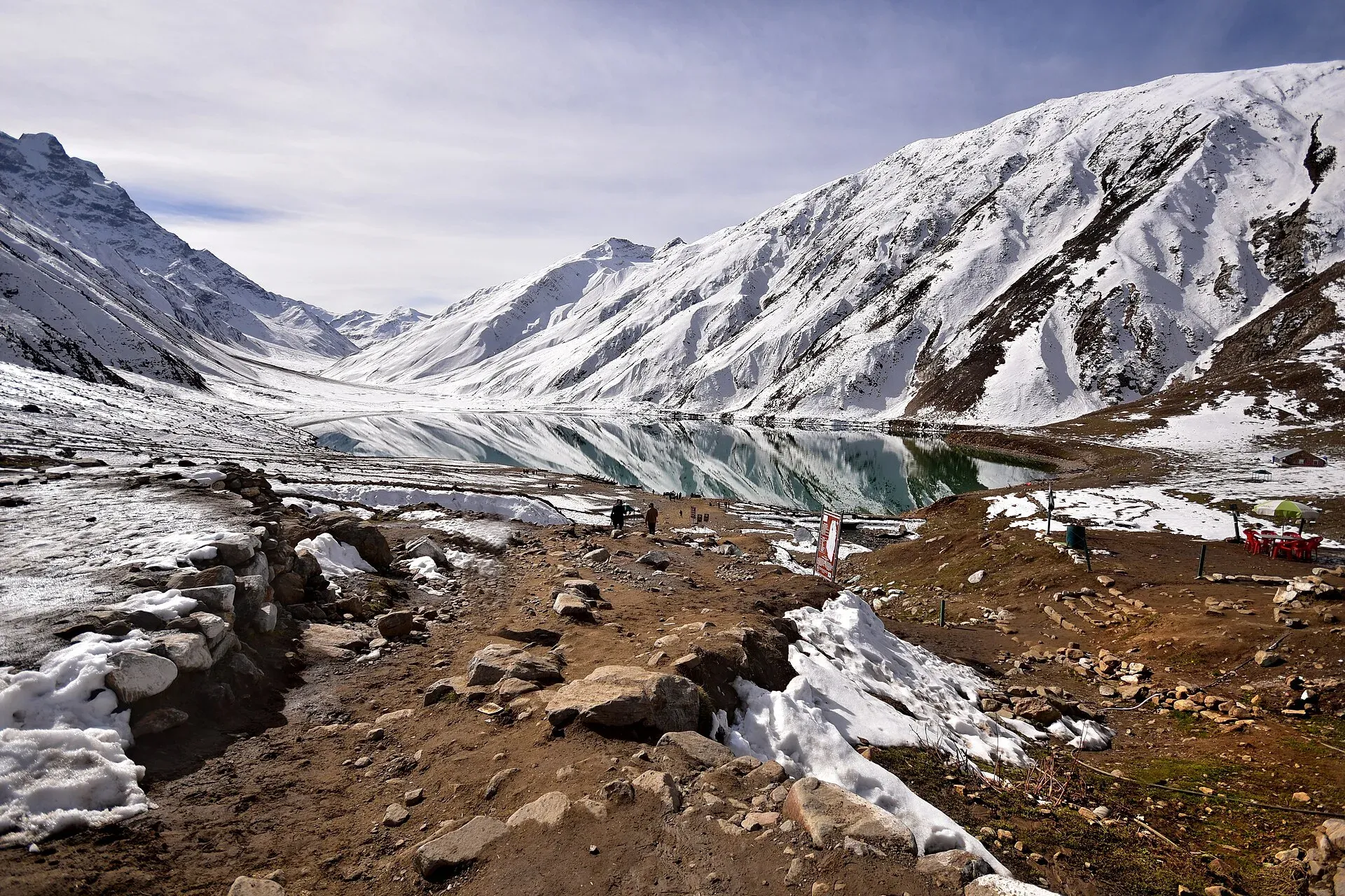
Photo: Kamranki, with thanks · CC BY-SA 4.0 · via Wikimedia Commons · temporary stand-in photo

Naran, Kaghan and Babusar
A 4-day summer road trip from Islamabad up the Kaghan valley to Naran, Saiful Muluk and Lulusar Lake, over Babusar Pass (4,173 m) to Chilas on the KKH.
Customise this route Change the dates, stops and how you travel in the Road Trip Planner.
Overview
The Kaghan valley is one of the most visited mountain valleys in Pakistan. The N-15 climbs beside the Kunhar River from Balakot to Naran, then on past Lulusar Lake and Babusar Top (4,173 m) to Chilas on the Karakoram Highway. In four days you can see the lakes, a high pass and the forests around Naran, and finish in Gilgit-Baltistan.
Who it suits
Families, first-time northern travellers and drivers who are happy to take their time. The Naran stretch is paved and busy. The climb to Babusar is steep with sharp bends, and the last part before Chilas has dangerous drops.
When to go
Summer. The Babusar road is closed by snow in winter and reopens late and variably. Dawn reported that the Babusar road reopened on 23 May 2025 after about seven months, with NHA snow clearance; ProPakistani (citing ARY News) reported it reopened in late May 2026 after seven months, as confirmed by the Mansehra district administration. Dawn reported on 26 April 2026 that the Mansehra-Naran-Jalkhad road, closed since November 2025, had been cleared as far as Batakundi and that tourism in Kaghan was set to restart. So plan for roughly late May or June to October, and ask the Mansehra or Diamer district administration or the NHA before you leave; snow can close it again from about late September or October. Naran itself is reachable earlier in the year, but upper lakes may be frozen or snow-covered into June. Weekends and Eid holidays are very crowded.
The route in short
Islamabad to Balakot via Abbottabad and Mansehra. Balakot to Naran through Kaghan, with the road beside the Kunhar River and pine forests. A jeep road leads to Saiful Muluk Lake near Naran. Beyond Naran the road climbs by Batakundi and Lulusar and Dudipatsar lakes, then crosses Babusar Top and drops into the Thak Nala to Chilas.
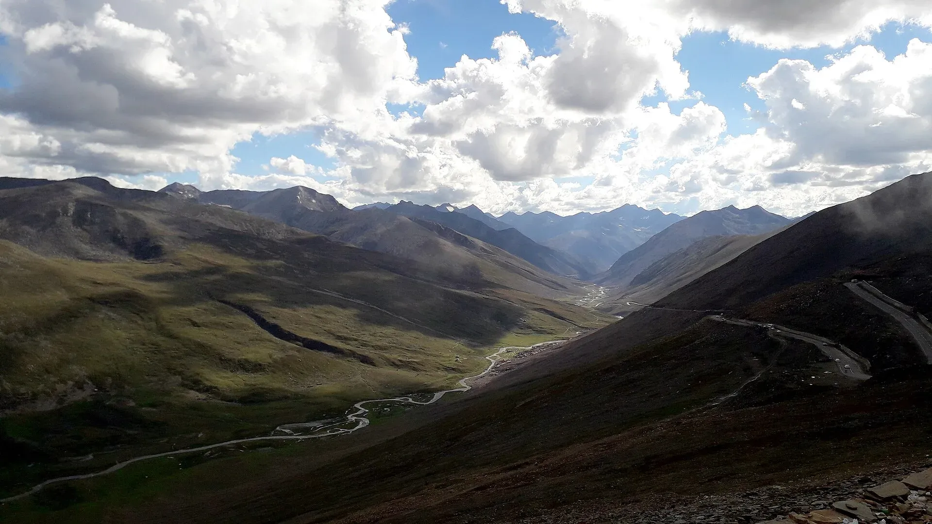
Photo: King Eliot, with thanks · CC BY-SA 4.0 · via Wikimedia Commons · temporary stand-in photo

What to see
- Shogran and Siri Paye from Kiwai, near Balakot, in the morning or as a side trip.
- Saiful Muluk Lake at about 3,200 m near Naran, reached by jeep and a walk. The jeep track is about 8 to 9 km and takes roughly 40 to 60 minutes one way (Nature Adventure Club guide, undated). Walking times in guides vary widely: Lonely Planet says two to three hours uphill; Nature Adventure Club says four to five hours for an experienced trekker. The Balakot assistant commissioner's fare notice (reported by ProPakistani, 8 July 2026) set jeep fares from Naran at Rs 5,500 to Saiful Muluk and Rs 4,500 to Lalazar.
- Lulusar Lake, a large mountain lake close to the road, in Lulusar-Dudipatsar National Park.
- Babusar Top, a high plateau with sweeping views of the Karakoram on a clear day.
Stops in order
Balakot and the Kunhar. Balakot is the largest town in the valley, and buses and jeeps for Kaghan and Naran leave from here. The Kunhar river runs the length of the valley: Wikipedia says it rises at Lulusar Lake and flows south-west through Jalkhad, Naran, Jared and Paras to Balakot before joining the Jhelum. The valley climbs from about 650 m to Babusar Pass at about 4,170 m.
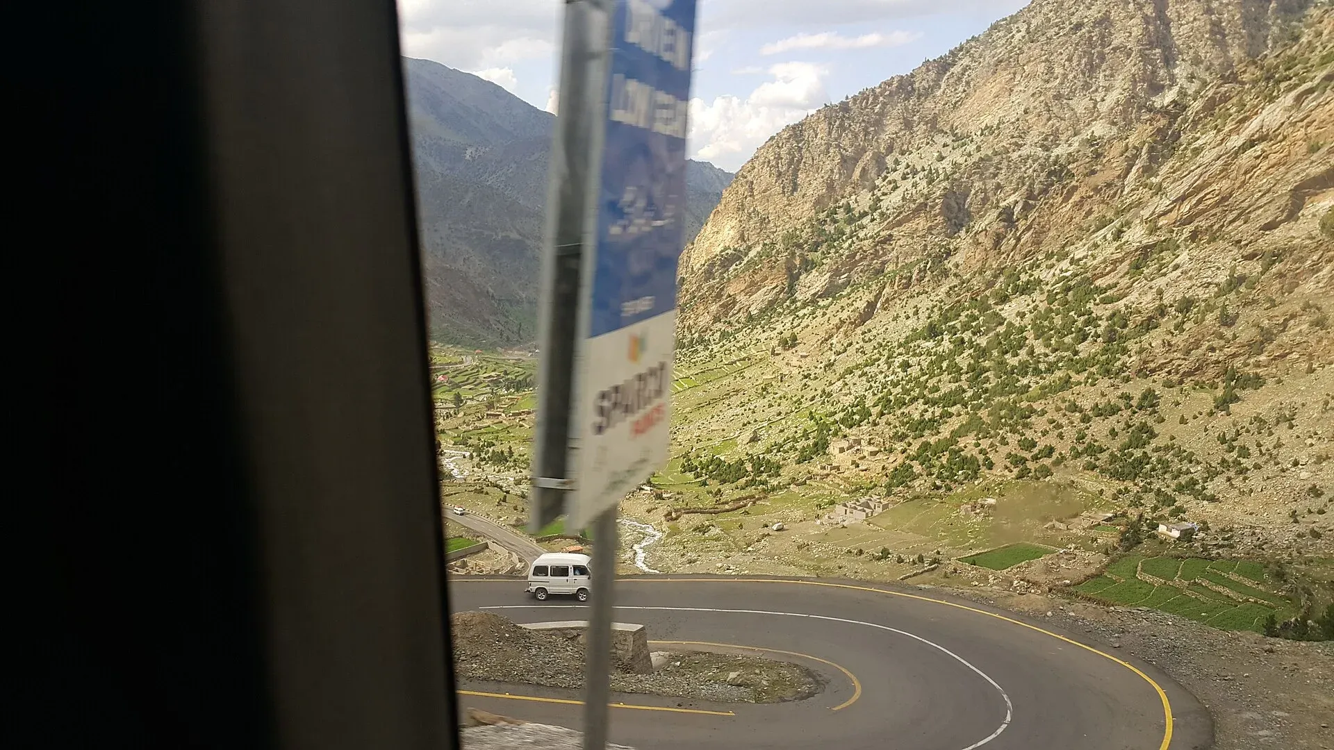
Photo: Kskhh, with thanks · CC BY-SA 4.0 · via Wikimedia Commons · temporary stand-in photo

Shogran, Lalazar and Lulusar. Wikipedia gives Shogran at 2,362 m, Lalazar at 3,123 m and Lulusar at 3,410 m. Malika Parbat (about 5,290 m) is the highest peak in the valley and can be seen from near Shogran.
Naran and Saiful Muluk. Naran is the main base. Saiful Muluk Lake lies at about 3,224 m, above the tree line, within Saiful Muluk National Park. It is named after a prince in a folk tale that the Sufi poet Mian Muhammad Bakhsh turned into a poem, in which the prince falls in love with a fairy princess, Badi ul-Jamal, at the lake. Wikipedia says the lake holds large brown trout. Wikivoyage reports that fishing licences are issued by the Fisheries Department at Naran, so ask there first.
Lulusar and Dudipatsar. Lulusar-Dudipatsar National Park was created in 2003 and, with Saiful Muluk National Park, protects 88,000 hectares. Wikipedia lists snow leopard, black bear, lynx and marmot among its mammals, and Himalayan snowcock among its birds. Dudipatsar is a snow-ringed lake in the north of the Naran valley; ask in Naran about current access to it and the other lakes.
People. Wikipedia says Gujars are a major group across the valley, with Hindko the most widely spoken language and Pashto and Gujari also heard. The valley is visited in summer and closed by snow in winter; Wikipedia reports that more than 300,000 visitors arrived during the June 2024 Eid al-Adha holidays, which explains the crowds on public holidays.
Babusar and Chilas. Wikivoyage reports ziplines at Babusar Top. It also reports that at the Chilas end (Chilas Zero Point) the road is closed each day at 17:00 to traffic coming from the north and reopens early the next morning; confirm current timings locally, because they may change.
Distances
Distances and times in this plan are from OSRM / OpenStreetMap, measured on 16 November 2026. They are driving time only, without stops, and OSRM is optimistic on mountain roads, unpaved tracks and in traffic, so real journeys are usually clearly longer; treat the times as a minimum. Islamabad to Naran is 254 km by OSRM, and Naran to Chilas over Babusar is 116 km.
Treks and side trips
Treks and routes in the area include those described in other treks in Diamer. From Chilas you can continue to Fairy Meadows or Hunza.
Local life
Kaghan and Naran are busy with hotels and seasonal stalls. Be careful with litter around the lakes. Shepherds and Gujjar families live in the upper valleys; ask before photographing people.
Highlights
- Saiful Muluk Lake
- Lulusar Lake and the national park
- Babusar Top at 4,173 m
- Kunhar River valley
- Siri Paye meadows near Shogran
Stops
- MansehraFuel, food, last big town
- BalakotGateway to Kaghan; Shogran turn-off at Kiwai
- KaghanValley village; hotels
- NaranOvernight base; Saiful Muluk
- BatakundiMeadows and camps
- Lulusar LakeIn Lulusar-Dudipatsar National Park
- Babusar Top4,173 m; summer only
- ChilasJoin the KKH
km: distance from the start along the route.
Numbers follow the stops in order. The map shows the 7 stops that have a trek.pk page, not the road itself.
Day by day
Day 1 · Islamabad to Naran
Start early to avoid weekend traffic at Mansehra and Balakot. The N-15 is slow and narrow beyond Kaghan, so real times are longer than the OSRM figure.
Day 2 · Saiful Muluk and Naran
Take a jeep towards Saiful Muluk Lake (about 9 km from Naran), then walk the last part. Return to Naran for the afternoon.
Day 3 · Naran to Chilas via Babusar
Stop at Batakundi and Lulusar Lake, cross Babusar Top and descend the Thak Nala. Leave by 7 am.
Day 4 · Chilas, onwards or return
Continue to Gilgit or Hunza, or return to Islamabad by the KKH (about 448 km, a long day).
Road conditions
- Islamabad to Balakot: paved, congested at weekends.
- Balakot to Naran: paved, but affected by landslides and floods in monsoon.
- Naran to Babusar Top: narrower, steep and with sharp turns. Wikipedia calls the road one of the more dangerous in Pakistan and attributes many accidents to brake failure.
- Babusar to Chilas: very steep descent with sharp bends.
- Season: summer only. The road beyond Naran was closed by snow from November 2025 and reopened between late April (to Batakundi, Dawn 26 April 2026) and late May 2026 (over Babusar, ProPakistani 25 May 2026). In 2025 the Babusar road reopened on 23 May (Dawn). Snowfall closed the Babusar Highway and the Babusar-Naran road in mid-October 2026 (ProPakistani, 14 October 2026), with no reopening date given. Assume snow closure from about October. Landslides blocked the area in the monsoon in some years, and NDMA named the Babusar route in its January 2026 alert.
Distances and times in this plan are from OSRM / OpenStreetMap, measured on 16 November 2026. They are driving time only, without stops, and OSRM is optimistic on mountain roads, unpaved tracks and in traffic, so real journeys are usually clearly longer; treat the times as a minimum.
Fuel and services
Fuel at Mansehra, Balakot, Kaghan, Naran and Chilas, but not at Babusar. Hotels and guesthouses at Naran, Kaghan and Shogran are plentiful in summer and many close in winter. ATMs are limited above Balakot. There is no fuel or shop above Lulusar.
Where to stay, eat and fuel up
Places to stay
- Shangrila Chilas HotelCall Shangrila Chilas HotelMap of Shangrila Chilas Hotel in Google Maps
- Eagle's Nest Hotel HunzaCall Eagle's Nest Hotel HunzaMap of Eagle's Nest Hotel Hunza in Google Maps
- Indus Lodges GilgitCall Indus Lodges GilgitMap of Indus Lodges Gilgit in Google Maps
- HOTEL deMANCHICall HOTEL deMANCHIMap of HOTEL deMANCHI in Google Maps
- Gilgit Serena HotelCall Gilgit Serena HotelMap of Gilgit Serena Hotel in Google Maps
- Pine View Hotel & RestaurantCall Pine View Hotel & RestaurantMap of Pine View Hotel & Restaurant in Google Maps
Places to eat
- KFC | AbbottabadCall KFC | AbbottabadMap of KFC | Abbottabad in Google Maps
- Yum Bakery and CafeCall Yum Bakery and CafeMap of Yum Bakery and Cafe in Google Maps
- Food PlanetCall Food PlanetMap of Food Planet in Google Maps
- Moon RestaurantCall Moon RestaurantMap of Moon Restaurant in Google Maps
- Flame On Jadoon PlazaCall Flame On Jadoon PlazaMap of Flame On Jadoon Plaza in Google Maps
- BaithakCall BaithakMap of Baithak in Google Maps
Essential services fuel stations, mechanics, ATMs, banks, pharmacies and hospitals and clinics
Fuel
- ShellCall ShellMap of Shell in Google Maps
- PSO Petrol Pump Sajjad Fill StationCall PSO Petrol Pump Sajjad Fill StationMap of PSO Petrol Pump Sajjad Fill Station in Google Maps
- Attock Petrol PumpMap of Attock Petrol Pump in Google Maps
- PSO ROYAL STAR FILLING STATIONCall PSO ROYAL STAR FILLING STATIONMap of PSO ROYAL STAR FILLING STATION in Google Maps
- Ibex PSO Petrol StationMap of Ibex PSO Petrol Station in Google Maps
- PSO SostCall PSO SostMap of PSO Sost in Google Maps
Mechanics and tyre shops
- Balakot Auto EFI WorkshopCall Balakot Auto EFI WorkshopMap of Balakot Auto EFI Workshop in Google Maps
ATMs
- World's Highest ATM NBPMap of World's Highest ATM NBP in Google Maps
- National Bank of Pakistan (NBP) Mirpur/Mandian BranchCall National Bank of Pakistan (NBP) Mirpur/Mandian BranchMap of National Bank of Pakistan (NBP) Mirpur/Mandian Branch in Google Maps
- HBLMap of HBL in Google Maps
- Allied Bank LimitedCall Allied Bank LimitedMap of Allied Bank Limited in Google Maps
- United Bank LimitedMap of United Bank Limited in Google Maps
Banks and money exchange
- National Bank of Pakistan (NBP)Call National Bank of Pakistan (NBP)Map of National Bank of Pakistan (NBP) in Google Maps
- Telenor Microfinance BankMap of Telenor Microfinance Bank in Google Maps
- Allied Bank LtdCall Allied Bank LtdMap of Allied Bank Ltd in Google Maps
Pharmacies
- Alam Family HospitalCall Alam Family HospitalMap of Alam Family Hospital in Google Maps
- Bilal PlazaCall Bilal PlazaMap of Bilal Plaza in Google Maps
- Qureshi Brothers Chemists and DruggistCall Qureshi Brothers Chemists and DruggistMap of Qureshi Brothers Chemists and Druggist in Google Maps
Hospitals and clinics
- Shamshad Aslam HospitalCall Shamshad Aslam HospitalMap of Shamshad Aslam Hospital in Google Maps
- Fatima HospitalCall Fatima HospitalMap of Fatima Hospital in Google Maps
- Umer Hospital Wah CanttCall Umer Hospital Wah CanttMap of Umer Hospital Wah Cantt in Google Maps
- Aga Khan Hospital, GilgitCall Aga Khan Hospital, GilgitMap of Aga Khan Hospital, Gilgit in Google Maps
- Shifa Physiotherapy ClinicCall Shifa Physiotherapy ClinicMap of Shifa Physiotherapy Clinic in Google Maps
- City HospitalCall City HospitalMap of City Hospital in Google Maps
Listings come from Google Maps data and are unverified: phone numbers, opening months and prices may have changed. Report a problem · Own one of these? Claim it
Safety
- Brakes and gears: do not ride the brakes on the descent. Use a low gear. Check for overheated brakes at Babusar Top.
- Sudden weather: snow can fall at Babusar in any month. Do not cross in fog.
- Landslides: heavy rain closes roads quickly. Do not cross a flooded stream.
- Crowds: weekends and Eid are dangerous for slow, long queues.
- Advisories: the January 2026 NDMA landslide alert named the N-15. As of 16 November 2026 there is no known closure notice, and snow closed the pass in mid-October 2026 (ProPakistani, 14 October 2026); check before you plan.
Ask the district administration or local police about current conditions before you go. For foreign visitors: the UK FCDO does not name the Kaghan valley, but it advises against all travel on the Karakoram Highway between Mansehra and Chilas (advice updated 27 October 2026, checked 16 November 2026). Read the live advice before you plan.
Tips
- Leave Naran early for Babusar; afternoon weather and traffic make the pass harder.
- Check the brakes and use low gear on the descents.
- Book Naran rooms ahead for July and August weekends.
- Carry warm clothes; nights at Naran are cold.
- Do not rely on the road beyond Naran being open before late June.
Photos we still need: Balakot to Naran road along the Kunhar and Batakundi meadows. Send us yours
Sources and last checked
Last checked Confidence medium18 sources4 still to check
- Last checked
- Method
- Desk research from published sources
- Confidence
- medium
- Checked by
- trek.pk research team
Researched from published sources; not yet checked on the ground by our team. Spot something out of date? Report a mistake.
Sources
- Pakistan Tourism Guide 2021 · Trade Development Authority of Pakistan (TDAP) · checked
- Babusar Pass · Wikipedia · checked
- NDMA issues landslide alerts for KP, Balochistan, GB, AJK (January 2026) · Radio Pakistan · checked
- Travellers stranded as landslides block Karakoram Highway · Dawn · checked
- Landslide alert: Karakoram highway, Babusar Top fully blocked, NDMA urges extreme caution · Associated Press of Pakistan · checked
- OSRM driving route service: distances and times measured 16 November 2026 (drive times are without stops) · OSRM / OpenStreetMap contributors · checked
- Babusar Top road reopens after seven months (reopened late May 2026, Mansehra district administration) · ProPakistani, citing ARY News · checked
- Babusar road reopens to traffic after seven months (23 May 2025) · Dawn · checked
- Kaghan set to reopen for tourists after five months (26 April 2026) · Dawn · checked
- Babusar Top road closed again for all traffic (5 June 2026) · ProPakistani · checked
- Snowfall forces closure of Babusar Highway (14 October 2026) · ProPakistani · checked
- New jeep fares announced for popular tourist destinations (8 July 2026) · ProPakistani · checked
- Saif ul Malook Lake Trips - Ultimate Travel Guide 2026 (undated) · Nature Adventure Club · checked
- Lake Saiful Mulk · Lonely Planet · checked
- Kaghan Valley · Wikipedia · checked
- Lake Saiful Muluk · Wikipedia · checked
- Lulusar-Dudipatsar National Park · Wikipedia · checked
- Kaghan Valley · Wikivoyage · checked
Still to be checked on the ground (4)
- Condition of the road above Naran this season (a landslide on the Mansehra-Naran-Jalkhad road on 31 May 2026 was seen only in a search summary)
- OSRM times are minimums on the N-15 above Kaghan
- Walking time to Saiful Muluk: guides disagree (2-3 hours to 4-5 hours); confirm locally
- Chilas Zero Point daily closure time (Wikivoyage reports 17:00; no official notice found)
Nearby and related

Other treks in Diamir

Naran
The main base of the Kaghan Valley, at 2,409 m beside the Kunhar River. Naran is the starting point for Saiful Muluk, Lulusar and the road to Babusar Top.

Kaghan Valley (with Naran)
A 155 km Himalayan valley above Balakot along the Kunhar River, with Shogran, Naran, Saiful Muluk and Lulusar lakes, and the road to Babusar Pass. Open mainly from May to October.

Balakot
The gateway to the Kaghan Valley, on the Kunhar River in Mansehra District. Balakot was destroyed in the 2005 earthquake and is the last big town before Naran, Shogran and Siri Paye.

Saiful Muluk
The best-known lake of the Kaghan Valley, at 3,224 m above Naran, with Malika Parbat behind it. It is about 9 km from Naran, reached by jeep, and is snowbound and frozen in winter.

Lulusar Lake
A large lake beside the Naran-Babusar road in upper Kaghan, at roughly 3,350–3,410 m. It is the main source of the Kunhar River and the gateway to Lulusar-Dudipatsar National Park.

Dudipatsar Lake
An alpine lake at about 3,800 m in Lulusar-Dudipatsar National Park, reached by a 5 to 8 hour walk from Besal on the Babusar road. Mid-June to late September.

Batakundi
A meadow village on the Kunhar River about 15 to 16 km above Naran at roughly 2,624 m, the base for the Lalazar road and a stop on the way to Babusar.

Babusar Pass
A 4,173 m summer road pass on the N-15 linking the Kaghan valley with Chilas on the Karakoram Highway. Open only in summer and known for steep, sharp bends.

Chilas
Headquarters of Diamer on the Karakoram Highway and the Indus, with thousands of ancient rock carvings, views towards Nanga Parbat, and the road junctions for Fairy Meadows and Babusar Pass.

Shogran
A meadow hill station at about 2,362 m above Balakot in the Kaghan Valley, the start of the Siri and Paye meadows jeep trip. Landslides and snow can close the road; private cars may not go beyond Shogran.

Siri Paye Meadows
Twin meadows above Shogran in the Kaghan Valley, Siri and Paye, reached by a rough 4x4 track from Shogran and used as the base for the Makra Peak walk.

Mansehra
The headquarters of Mansehra District in Hazara, famous for the Ashoka rock edicts near the city. A big market town and the usual stop before Balakot, Naran and the Karakoram Highway.

Lulusar-Dudipatsar National Park
A high national park at the head of the Kaghan Valley, created in 2003. It protects Lulusar Lake, Dudipatsar Lake and the wildlife of the Babusar area.

N-15 Mansehra-Naran-Babusar-Chilas
The 240 km N-15 climbs the Kaghan Valley from Mansehra to Naran, crosses Babusar Top (4,173 m) and drops to Chilas on the Karakoram Highway. Open to Naran most of the year, over the pass only in summer.
Grand Northern Loop
A 12-14 day circuit of the north from Islamabad: Naran and Babusar, Hunza and Khunjerab, Skardu and Deosai, Gilgit, then Swat or the KKH back. Distances, passes and seasons.

Fairy Meadows and Nanga Parbat View
A 5-day trip from Islamabad on the Karakoram Highway to Raikot Bridge, a jeep and short hike to Fairy Meadows, and the north face of Nanga Parbat (8,126 m).

Hunza and Khunjerab (KKH)
A 7-8 day road trip from Islamabad up the Karakoram Highway to Hunza and on to Khunjerab Pass (4,693 m), with overnight stops at Besham, Chilas and Gilgit.