

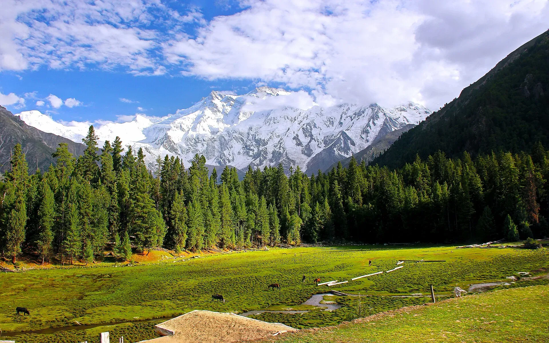
Photo: M.Awais, with thanks · CC BY-SA 4.0 · via Wikimedia Commons · temporary stand-in photo

Raikot and Tatto (Fairy Meadows access)
Raikot Bridge on the Karakoram Highway is the start of the jeep track to Tatto, the road-end village below Fairy Meadows and the north face of Nanga Parbat.
Overview
Raikot Bridge crosses the Indus on the Karakoram Highway (KKH) in Diamer District, Gilgit-Baltistan. It is not a town in the usual sense. It is a roadside stop with a few shops, and the place where visitors to Fairy Meadows and Nanga Parbat change from their own vehicle to a local jeep. Tatto (also Tattu or Tato) is the last village on the jeep road, where the walking path to Fairy Meadows starts.
Wikipedia describes the bridge as a two-lane arch bridge carrying cars, buses, trucks and jeeps, maintained by the National Highway Authority. A small junction village beside it has a few hotels, shops, restaurants and a mosque. The KKH from Raikot to the Khunjerab Pass was widened under a China Eximbank loan agreed in 2008, from 10 m to 30 m, with 32 new bridges on the 335 km stretch. Work ran from August 2008 to November 2013.
The Gilgit-Baltistan tourism guides put Raikot Bridge about 171 km from Aliabad, which works out as about 71 km south of Gilgit and 50 km north of Chilas (derived from the district guide's distance table). No census figure is given for Raikot or Tatto.
Getting there
- To Raikot Bridge: by bus or hired vehicle on the KKH. From Gilgit it is a drive of around 71 km, and from Chilas about 50 km (GB Tourism guide). The OSRM time from Gilgit to Chilas is 1 hour 50 minutes (138 km, optimistic; an estimate).
- Raikot to Tatto: a jeep track of about 15 km (Wikipedia; other sources say 12 to 18 km).
- Tatto to Fairy Meadows: about 5 km on foot.
The jeep track to Tatto
The track is narrow gravel and runs above a gorge. Wikipedia says only local drivers operate it, and that it takes about 90 minutes. Wikipedia also reports that the WHO called it the world's second-deadliest road in 2013. Private cars are not used. Do not take the track in rain or at night.
Tatto sits at the end of the track. It has terraced fields, a few small lodges and the start of the trail.
The walk to Fairy Meadows
From Tatto the path climbs for about 5 km, 3 to 4 hours (Wikipedia). Some people hire horses or porters. The meadows lie at about 3,300 m, so allow for the altitude.
Around Fairy Meadows
Fairy Meadows is called Joot locally. German climbers gave it the name Märchenwiese, "fairy tale meadows". It is in Diamer District, with Chilas as the nearest city. It faces Nanga Parbat (8,126 m, ninth highest in the world). The peak that looks like the summit from the meadows is the North Peak (7,816 m). The meadows are also the launch point for climbers on the Rakhiot face.
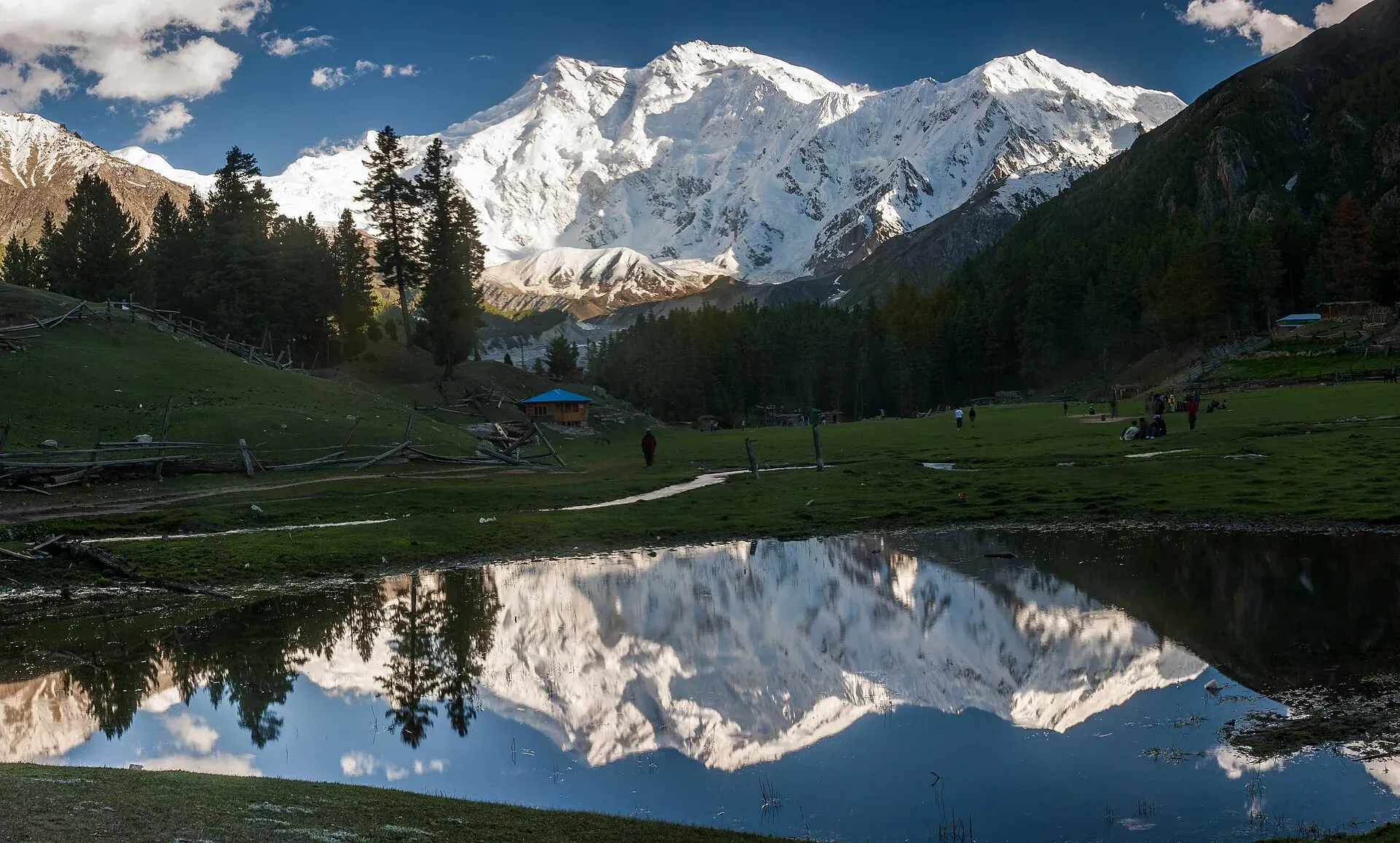
Photo: Usmanbukhari3362, with thanks · CC BY-SA 4.0 · via Wikimedia Commons · temporary stand-in photo

Locals have run camping sites here since 1992. The area was declared a national park in 1995 and has been part of Nanga Parbat National Park since 2021. Wikipedia describes an alpine forest of pine, spruce and fir, with birch, willow and juniper, and notes a few brown bears (declining) and musk deer. See the Fairy Meadows page and the Fairy Meadows and Nanga Parbat Base Camp trek.
When to visit
The Fairy Meadows season is about April to the end of September (Wikipedia). Snow blocks the upper track and the meadows outside this window. Rain and landslides can close the track at short notice.
Where to stay and eat
There are a few simple guesthouses and tea stops near Raikot Bridge, small lodges in Tatto, and huts and cottages at Fairy Meadows. Facilities are basic. Carry cash and snacks, and book accommodation at Fairy Meadows before you go. Chilas, with its rock carvings, is the nearest larger town.
Safety and good to know
The jeep road is dangerous in places. Do not drive your own vehicle up it. Fairy Meadows is an open trekking zone but permit rules for foreigners have changed since 2024; see the trek page and ask a licensed operator. Fees for the jeep and the national park are not confirmed here; current fees will be added soon. Nanga Parbat is in Diamer, which has had security incidents in the past, so ask the local police or tourism office about current conditions.
Highlights
- Raikot Bridge turn-off on the KKH
- Jeep track to Tatto
- Start of the walk to Fairy Meadows
- Views of Nanga Parbat
Where to stay
Listings for Raikot and Tatto (Fairy Meadows access) are being collected and checked by the team. Check back soon.
Tips
- Do not drive the track in rain or at dusk.
- Leave your own vehicle at Raikot and hire a local jeep.
- Carry enough cash, because card payments are unreliable.
- Book Fairy Meadows lodging in advance in summer.
Photos we still need: Raikot Bridge and the jeep track to Tatto. Send us yours
Sources and last checked
Last checked Confidence medium6 sources5 still to check
- Last checked
- Method
- Desk research from published sources
- Confidence
- medium
- Checked by
- trek.pk research team
Researched from published sources; not yet checked on the ground by our team. Spot something out of date? Report a mistake.
Sources
- Fairy Meadows · Wikipedia · checked
- District Diamer tourist guide and map · Tourism & Culture Department, Gilgit-Baltistan (tourism.gov.pk) · checked
- District Hunza tourist guide and map · Tourism & Culture Department, Gilgit-Baltistan (tourism.gov.pk) · checked
- OSRM driving route service: distances and times measured 16 November 2026 (times are optimistic, without stops) · OSRM / OpenStreetMap · checked
- Pakistan Tourism Guide 2021 · TDAP Pakistan · checked
- Raikot Bridge · Wikipedia · checked
Still to be checked on the ground (5)
- Raikot Bridge coordinates and exact distances (derived from a distance table)
- Length of the jeep track: Wikipedia says about 15 km; the official Diamer sheet lists Fairy Meadows as 54 km from Raikot (jeep/foot, 1 hr), which does not match; sources 12 to 18 km
- Current permit and fee rules (no official source opened)
- Altitude of Tatto (not stated in Wikipedia)
- Raikot Bridge coordinates are Wikipedia's rounded values (about 35.48 N, 74.58 E)
Nearby and related

Fairy Meadows and Nanga Parbat Base Camp

Other treks in Diamir

Gilgit-Baltistan
Pakistan's far north: three great ranges meet here, with K2, Nanga Parbat, giant glaciers, the Karakoram Highway and the valleys of Hunza, Skardu and Gilgit.

Chilas
Headquarters of Diamer on the Karakoram Highway and the Indus, with thousands of ancient rock carvings, views towards Nanga Parbat, and the road junctions for Fairy Meadows and Babusar Pass.

Gilgit
Gateway to Gilgit-Baltistan on the Karakoram Highway: a busy mountain town with the Kargah Buddha and the base for Hunza, Naltar and Skardu.

Fairy Meadows and Nanga Parbat View
A 5-day trip from Islamabad on the Karakoram Highway to Raikot Bridge, a jeep and short hike to Fairy Meadows, and the north face of Nanga Parbat (8,126 m).