

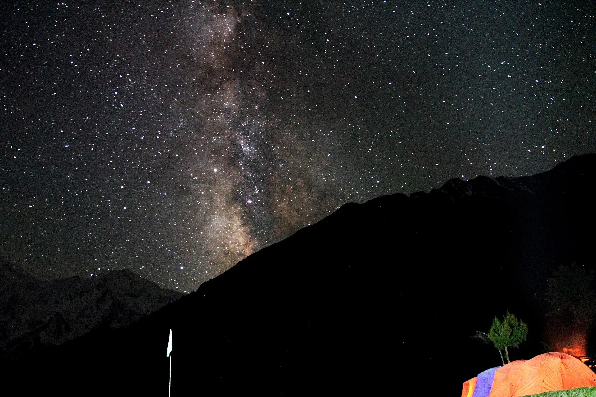
Photo: M.Ahmad Hussnain, with thanks · CC BY-SA 4.0 · via Wikimedia Commons · temporary stand-in photo

Fairy Meadows
A grassy terrace at about 3,300 m below the north face of Nanga Parbat, reached by a rough jeep track from Raikot Bridge and then a walk of a few hours.
Overview
Fairy Meadows (locally Joot) is a grassy terrace at about 3,300 m in Diamer District, Gilgit-Baltistan. It faces the north (Raikot) side of Nanga Parbat, the ninth-highest mountain in the world at 8,126 m. Wikipedia notes that the pointed peak most visitors photograph is actually North Peak (7,816 m); the true summit sits behind it. The meadow was declared a national park in 1995 and has been part of Nanga Parbat National Park since 2021.
Plan your visit
- Nearest town
- Chilas
- Getting there
From Gilgit, take a bus or van on the KKH to Raikot Bridge (the Gilgit-Baltistan guide gives about 71 km; other sources say up to 78 km). From Chilas it is about 50 km. More
Best months
May – Oct
- Fairy Meadows
- Related places nearby: Raikot and Tatto (Fairy Meadows access), Nanga Parbat, Chilas, Gilgit, Nanga Parbat National Park
What to see and do
- The view. Pine and birch edge the meadow, with the Raikot Glacier below the mountain. Mornings are usually clearest.
- Summer pasture. Local families graze animals here in summer, so expect cattle and herders around the camps.
- Walks. The standard walk goes on to Beyal meadow and a viewpoint towards Nanga Parbat Base Camp. See our trek page for the stages.
- Night sky. There is no street lighting, so stars are bright on clear nights.
The mountain
The name Nanga Parbat comes from Sanskrit words usually translated as "naked mountain", a reference to its steep, often snow-free south face. The Shina name, Diamer or Deo Mir, is translated as "mountain of God". The Rakhiot (north) flank, the side seen from Fairy Meadows, rises about 7,000 m from the Indus valley to the summit over about 25 km (Wikipedia).
Albert Mummery reached almost 6,100 m on the Diamir Face in 1895 before he and two Gurkha companions died exploring the Rakhiot side. A German expedition under Willy Merkl was caught in a storm at 7,480 m in 1934, and Merkl and eight others died. Hermann Buhl made the first ascent on 3 July 1953 by the Rakhiot flank, the last stage alone and without oxygen. Ali Sadpara, Alex Txikon and Simone Moro made the first winter ascent on 26 February 2016. The mountain's nickname is "Killer Mountain".
When to visit
The usual season is late May to mid-October. Wikipedia on the Raikot approach gives April to September. July and August are busiest and bring the greatest risk of rain and landslides on the jeep track. Snow covers the meadow in winter and the track is not used by ordinary visitors.
Where to stay and eat
Accommodation is basic: wooden huts, simple cottages and tent camps, all privately run. Food is simple. Book ahead in July and August. Bring cash, as there are no banks or ATMs. Camping is only in the established camp areas; ask the owners before pitching a tent and carry your rubbish out. Current accommodation, camping and jeep charges will be added soon; ask at Raikot Bridge or Chilas.
Good to know
- Road end and walk. From Raikot Bridge on the Karakoram Highway a local jeep climbs about 15 km to Tato. Wikipedia says the narrow gravel track is open only to local drivers. From Tato you walk about 5 km to the meadow, which sources put at two to four hours (Wikipedia says three to four).
- Danger. The track is steep and exposed. Wikipedia reports that in 2013 it was described as among the world's most dangerous roads. Do not use it in heavy rain or at night.
- Altitude. Above 3,000 m, headaches are common if you rush. Sleep low if you feel unwell.
- Reaching Raikot Bridge. The bridge lies north of Chilas. Ask the district administration or local police about current conditions before you go. For foreign visitors: the UK FCDO (checked 16 November 2026) advises against all travel on the Karakoram Highway between Mansehra and Chilas, so most visitors fly to Gilgit and come south by road. It does not advise against Gilgit-Baltistan generally. Check the current advice yourself before you plan.
- Mobile signal is limited and rescue is slow.
Highlights
- About 3,300 m, facing the north side of Nanga Parbat
- Local jeep from Raikot Bridge, then a walk
- Pine and birch edge, summer grazing
- Starting point for Beyal and the base camp walk
Getting there
From Gilgit, take a bus or van on the KKH to Raikot Bridge (the Gilgit-Baltistan guide gives about 71 km; other sources say up to 78 km). From Chilas it is about 50 km. At the bridge a local jeep goes to Tato (about 15 km, 1.5 to 2 hours), then you walk about 5 km to the meadow. Private vehicles are not normally allowed on the track.
Tips
- Book beds or tents early for July and August.
- Do not use the jeep track in rain or after dark.
- Carry cash and warm clothing; nights are cold even in summer.
- Take your rubbish back down.
Photos we still need: Raikot Glacier from the meadow path (The mountain). Send us yours
Sources and last checked
Last checked Confidence medium5 sources3 still to check
- Last checked
- Method
- Desk research from published sources
- Confidence
- medium
- Checked by
- trek.pk research team
Researched from published sources; not yet checked on the ground by our team. Spot something out of date? Report a mistake.
Sources
- Fairy Meadows · Wikipedia · checked
- District Diamer tourist guide and map · Tourism Department, Gilgit-Baltistan · checked
- Pakistan travel advice (warnings and insurance; updated 27 October 2026) · UK Foreign, Commonwealth & Development Office · checked
- Trekking in the Karakoram and Hindukush (facts only) · Lonely Planet, c. 2002 · checked
- Nanga Parbat (Wikipedia), name, faces and climbing history · Wikipedia · checked
Still to be checked on the ground (3)
- Current jeep and accommodation charges (no official price source)
- Walking time Tato to meadow: Wikipedia 3 to 4 hours, other sources 2 to 4
- Whether the jeep track is open after rain or landslides (on the ground)
Nearby and related

Fairy Meadows and Nanga Parbat Base Camp

Raikot and Tatto (Fairy Meadows access)
Raikot Bridge on the Karakoram Highway is the start of the jeep track to Tatto, the road-end village below Fairy Meadows and the north face of Nanga Parbat.

Nanga Parbat
Nanga Parbat (8,126 m), the ninth-highest mountain on Earth, rises above the Indus in Diamer and Astore. Fairy Meadows and the Rupal Valley give the best treks to its north and south faces.
Raikot Glacier
A 13 km glacier below the north (Raikot) face of Nanga Parbat. You see it on the walk from Tatto to Fairy Meadows and Beyal, and it leads to Nanga Parbat Base Camp.

Chilas
Headquarters of Diamer on the Karakoram Highway and the Indus, with thousands of ancient rock carvings, views towards Nanga Parbat, and the road junctions for Fairy Meadows and Babusar Pass.

Gilgit
Gateway to Gilgit-Baltistan on the Karakoram Highway: a busy mountain town with the Kargah Buddha and the base for Hunza, Naltar and Skardu.

Nanga Parbat National Park
A large high-mountain park in Diamer and Astore districts around Nanga Parbat (8,126 m), taking in Fairy Meadows, the Rupal side and Rama Lake. Notified in 2020 to 2021.

Fairy Meadows and Nanga Parbat View
A 5-day trip from Islamabad on the Karakoram Highway to Raikot Bridge, a jeep and short hike to Fairy Meadows, and the north face of Nanga Parbat (8,126 m).