

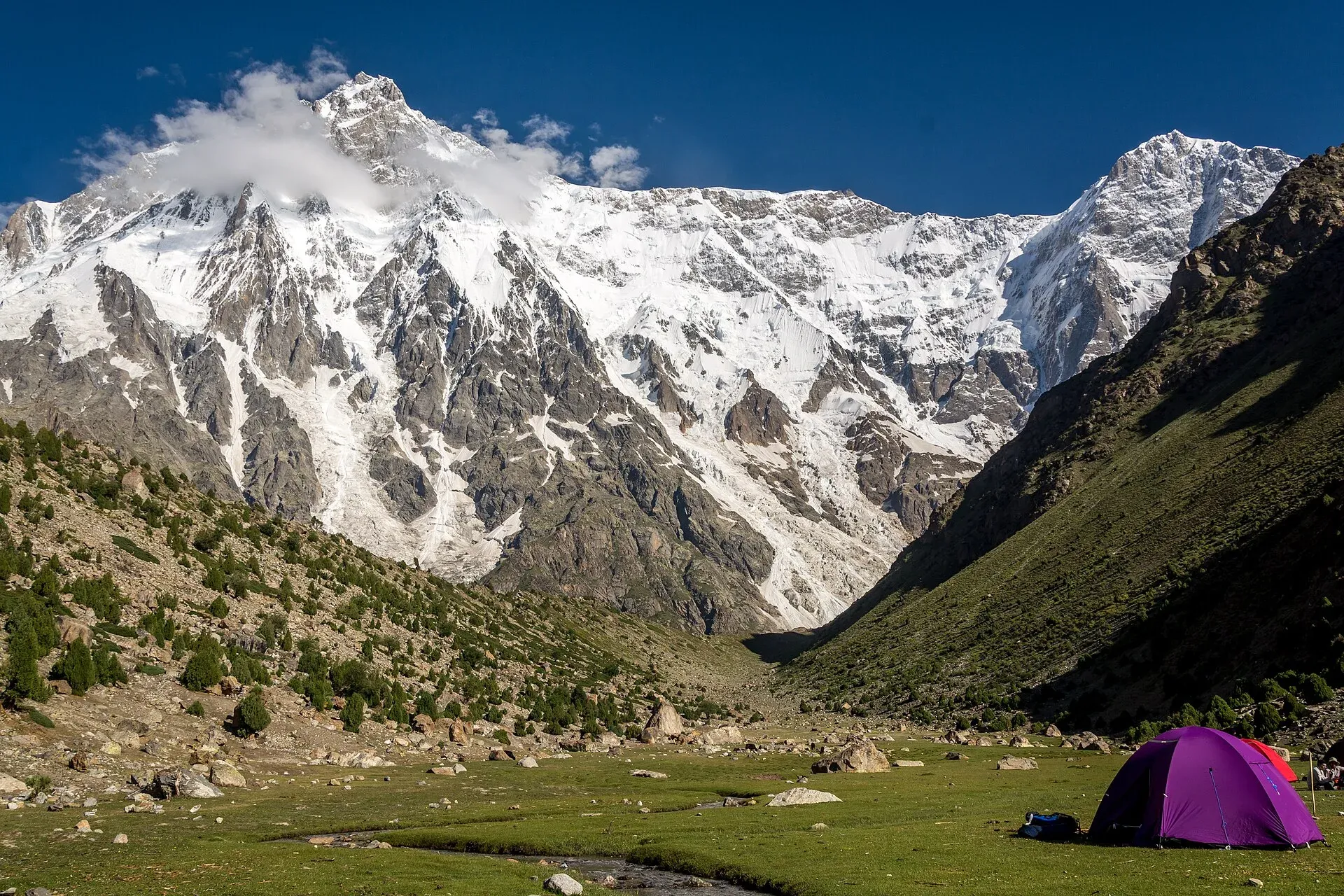
Photo: Muhammad Ashar, with thanks · CC BY-SA 3.0 · via Wikimedia Commons · temporary stand-in photo

Rupal Valley
The valley below the south face of Nanga Parbat, reached from Astore by a rough road to Tarishing. The Rupal Face rises about 4,600 m; an easy trek leads to the German base camp and Shaigiri.
Overview
The Rupal Valley runs along the south side of Nanga Parbat, at the end of the Astore valley. The Rupal River drains it, and the Rupal Glacier lies on its floor. At its head the Rupal Face climbs about 4,600 m from the valley floor to the summit at 8,126 m, and Wikipedia calls it the highest mountain face in the world.
You do not have to be a trekker to see it. The road reaches Tarishing (Tarashing), the main village and gateway to the mountain, at about 2,900 m, and the face rises beyond the fields and glaciers. Rupal is also the start of the moderate Rupal Base Camp trek and the technical Mazeno La crossing.
Plan your visit
- Nearest town
- Tarishing
- Getting there
From Gilgit, take the Astore road from Jaglot; Tarishing is about 143 km from Gilgit by OSRM (modelled about 2 h 10; allow half a day) and 34 km beyond Astore town. More
Best months
Jun – Oct
- Rupal Valley
- Related places nearby: Astore Valley (with Rama), Rama Lake, Herrligkoffer Base Camp (Rupal Face)
Climbing history
Nanga Parbat was first climbed on 3 July 1953 by Hermann Buhl, from the north side. The Rupal Face fell in 1970, when the brothers Günther and Reinhold Messner made its first ascent and then descended the other side, the Diamir Face. Günther died in an avalanche during the descent. A four-person team made the face's second ascent in 1976, on a route plotted by Karl Herrligkoffer. On 13 July 1985 Jerzy Kukuczka, Zygmunt Heinrich, Sławomir Łobodziński and Carlos Carsolio climbed the south-east pillar, known as the Polish Spur. The Mazeno Ridge was first climbed in full in July 2012 by Sandy Allan and Rick Allen.
Getting there
The Astore road leaves the Karakoram Highway at Jaglot, about 60 km south of Gilgit. From Gilgit, OSRM gives about 143 km to Tarishing, modelled at about 2 hours 10 minutes; from Astore town it is about 34 km (modelled at 45 minutes). The official district sheet lists the Rupal valley at 42 km from Astore city, about 2 hours by car or jeep. The upper road is rough, and in practice you should allow a half day from Gilgit and use a 4x4 with a local driver. Landslides and washouts can close it after heavy rain.
What to see and do
- Tarishing. A farming village beside the Rupal River, with a large glacier alongside. Shina and Urdu are the main languages, and the village is used to trekkers and mountaineers. Wikipedia lists about 40 shops, five hotels and a 10-bed hospital, and gives a population of about 200 in one place and 400 in another. These figures are not well sourced, so treat them as approximate.
- Rupal village and the valley floor. Terraced fields, stone-and-wood houses and walking paths along the river.
- Rupal Base Camp (Herrligkoffer Base Camp), about 3,550 m. An easy day or overnight walk from Tarishing, with a close view of the face. The Rupal trek goes on to Shaigiri at about 3,655 m, directly below the face.
- Latbo (Latobah). A glacial lake and summer shepherd settlement near the base of the face.
- Other peaks. Rupal Peak, Shaigiri and Laila Peak (the Rupal valley one) are among the other summits listed for the valley.
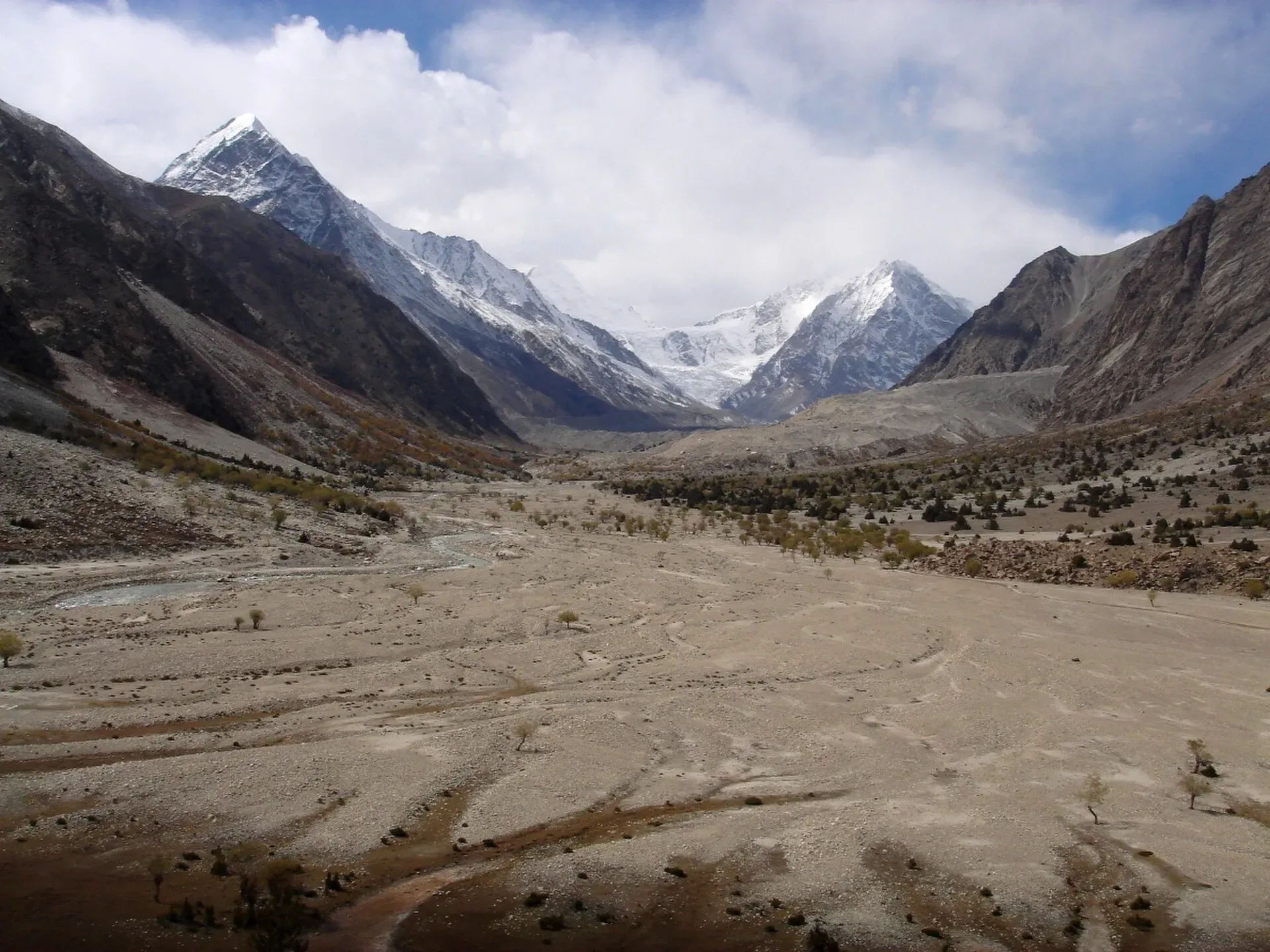
Photo: Daniel Martin, with thanks · CC BY 3.0 · via Wikimedia Commons · temporary stand-in photo

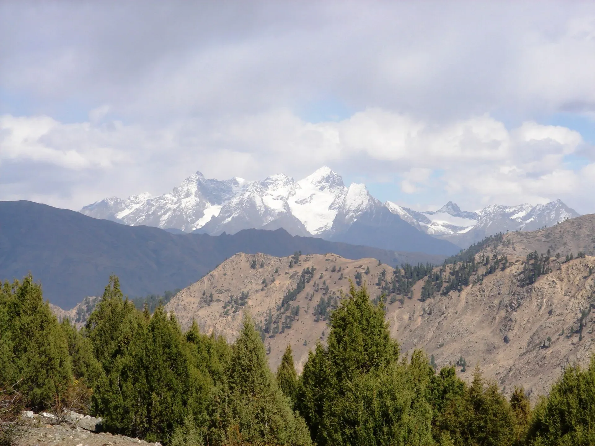
Photo: Daniel Martin (Eleutherosmartin at en.wikipedia), with thanks · CC BY 3.0 · via Wikimedia Commons · temporary stand-in photo

Treks from the valley
- Rupal Trek: a 5 to 6 day walk up the valley to Shaigiri and back, with easy trails and short glacier crossings.
- Mazeno La: a technical glaciated pass above 5,000 m that crosses the Mazeno Ridge towards Diamer; only for experienced groups with a licensed operator.
When to go
June to October. Early summer can bring snow on the glacier crossings and lower-valley mosquitoes; August is warm but cloudier in the afternoons; September and early October give crisp air but very cold nights. Winter closes the road above Astore, and Wikipedia reports snowfall of up to 1.8 m at Tarishing (not confirmed).
Where to stay and eat
Tarishing has a few simple guest houses and camping places, and there are village homestays in Rupal. Bring most of your food for a trek. Astore town has more choice.
Culture and languages
Shina is the local language, with Urdu and some English. Villages are close-knit farming communities. Dress modestly and ask before photographing people or their homes.
Safety and practical points
- The road to Tarishing is rough and may be blocked after rain. Do not travel at night.
- Altitude: Tarishing is at about 2,900 m and base camp over 3,500 m. Walk slowly on the first day.
- The glacier crossings are short but need care, especially after warm afternoons.
- Older sources list the valley as an open zone, but rules and fees for foreign trekkers have changed since 2024. Check with a licensed operator and GB Tourism before you go.
- The GB Tourist Police helpline is 1422.
Highlights
- The Rupal Face of Nanga Parbat, about 4,600 m high
- Tarishing, the gateway village at about 2,900 m
- Easy trek to Herrligkoffer Base Camp (about 3,550 m) and Shaigiri
- Terraced fields and Shina-speaking villages
- Start of the technical Mazeno La crossing
Tips
- Hire a 4x4 and local driver; the upper road is rough.
- Walk slowly on day one; the base camp is above 3,500 m.
- Go in September for clearer air, but carry warm clothes for cold nights.
- Confirm permit rules and current fees with your operator.
Photos we still need: Tarishing village and the Rupal road, and Latbo lake. Send us yours
Sources and last checked
Last checked Confidence medium8 sources4 still to check
- Last checked
- Method
- Desk research from published sources
- Confidence
- medium
- Checked by
- trek.pk research team
Researched from published sources; not yet checked on the ground by our team. Spot something out of date? Report a mistake.
Sources
- Land of Pastures: District Astore tourist guide sheet · Tourism & Culture Department, Gilgit-Baltistan · checked
- Rupal Face (Wikipedia) · Wikipedia · checked
- Tarishing (Wikipedia) · Wikipedia · checked
- Rupal Valley (Wikipedia) · Wikipedia · checked
- OSRM driving routes (distances and modelled times between towns) · OSRM / OpenStreetMap · checked
- NOC requirements for foreigners visiting Pakistan abolished (26 March 2019) · Dawn · checked
- GB winter adventure tourism hit by soaring permit fee, visa delays (1 Feb 2026) · Dawn · checked
- Astore District · Wikipedia · checked
Still to be checked on the ground (4)
- Tarishing population (Wikipedia gives c. 200 in the summary box and 400 in the text; no census figure found)
- Real driving time Gilgit to Tarishing (OSRM about 143 km, 2 h 10; Wikipedia gives Gilgit to Astore Eidgah as 128 km)
- Current permit rules and fees for foreign trekkers (no official page opened; Dawn, 1 Feb 2026, reports permit fee rises)
- Guest house options in Tarishing and Rupal (no dated source opened)
Nearby and related

Rupal Valley and Nanga Parbat Rupal Face
Mazeno La

Other treks in Diamir

Astore Valley (with Rama)
A forested valley south-east of Gilgit on the eastern side of Nanga Parbat, with Rama Meadows and Rama Lake, the Rupal and Rattu valleys and the seasonal road over the Deosai plateau.
Rama Lake
A high lake in the Rama Valley near Astore, at about 3,300 m. Snow covers the valley for seven to eight months of the year, and it is also a route towards the eastern side of Nanga Parbat.

Gilgit
Gateway to Gilgit-Baltistan on the Karakoram Highway: a busy mountain town with the Kargah Buddha and the base for Hunza, Naltar and Skardu.
Herrligkoffer Base Camp (Rupal Face)
The grassy base camp on the south side of Nanga Parbat, about 3,550 m, reached on a day's walk from Tarashing under the 4,600 m Rupal Face.

Fairy Meadows and Nanga Parbat View
A 5-day trip from Islamabad on the Karakoram Highway to Raikot Bridge, a jeep and short hike to Fairy Meadows, and the north face of Nanga Parbat (8,126 m).