

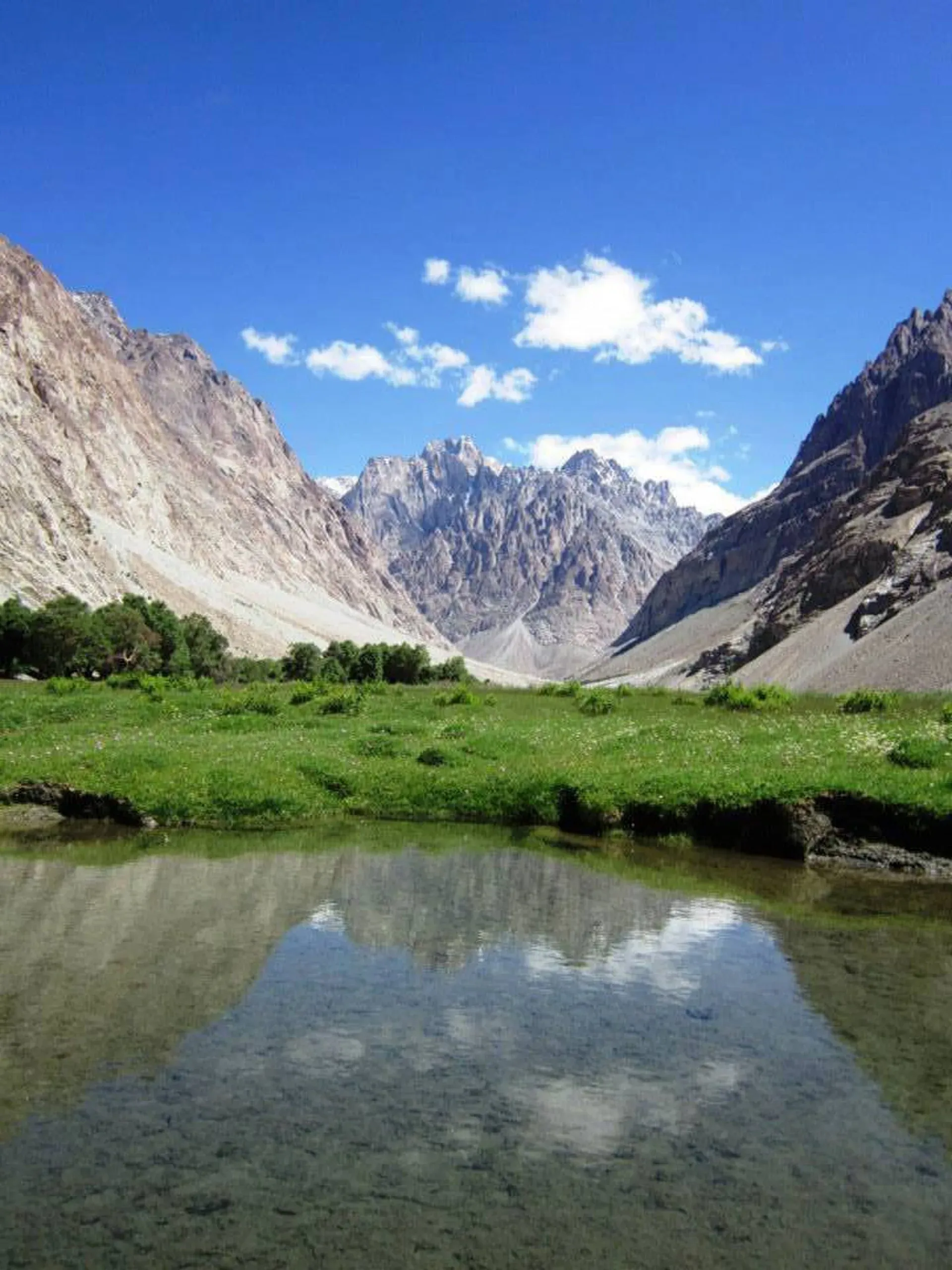
Photo: Shahid misgari, with thanks · CC BY-SA 3.0 · via Wikimedia Commons · temporary stand-in photo

Kilik Pass
A broad 4,827 m pass on the China border north of Misgar in Gojal. A historic Silk Road route and an easy summer trek, but border rules matter.
Overview
Kilik Pass lies on Pakistan's border with China, about 30 km west of Mintaka Pass. Wikipedia and the older Lonely Planet guide both give 4,827 m. It leads from the Kilik valley, north of Misgar in Upper Hunza (Gojal), to the Taghdumbash Pamir in Xinjiang. It is a trekking pass, and the road does not reach it. Wikipedia places it in the Pamir Mountains.
Plan your visit
- Nearest town
- Misgar
- Getting there
Misgar is reached by a side road that leaves the Karakoram Highway near Sost. A road continues 7 km to Kalam Darchi, after which you walk. More
Best months
Jun – Sep
- Kilik Pass
- Related places nearby: Gojal and Shimshal, Sost, Misgar Valley
History of the route
For centuries, Kilik and Mintaka were the shortest routes from the Tarim basin into northern India. Wikipedia says both were usually open all year but were dangerous and suited only to people on foot. After glaciers made Mintaka harder, caravans from China and Afghanistan preferred Kilik because it is wider, glacier-free and has enough pasture. Pack animals could cross into upper Hunza, but porters had to carry loads on to Gilgit, which was costly and risky. From Gilgit, goods went east to Kashmir and Taxila, or west to Chitral.
Petroglyphs of mounted riders and ibex, with Kharoshthi inscriptions naming Saka and Pahlava rulers, survive on the Sacred Rock of Hunza. Wikipedia says historians judge that the ruler Maues probably used the Mintaka or Kilik route to take Taxila in the 1st century BCE. In the 1890s, the British set up outposts nearby during the Great Game, and a survey judged Kilik easy to defend against a Russian advance. The guide notes that Lord Curzon stood at the pass in 1894. Traffic fell once the Karakoram Highway used Khunjerab instead.
From Misgar to Murkushi
The usual trip is the Kilik and Mintaka Passes trek from Misgar. From Misgar (3,075 m) a road goes 7 km to Kalam Darchi, an old Gilgit Scouts post. The trail then follows the Kilik River on its true right bank, with several bridges, through grassy birch groves (Arbab-e-Bul, Rung Hil, Put Hil and Lup Jangal) to Murkushi (3,659 m), where the Kilik and Mintaka rivers meet. The day is about 21 km, and the largest camp is among the birches at the north end, under granite cliffs.
Murkushi to Sad Buldi
The next day climbs about 585 m in around 4.5 hours. The valley changes from rock spires to rolling pamir (high plateau grassland). The trail passes a livestock gate and a Kirghiz tomb hung with Marco Polo sheep horns, then crosses the Shireen Maidan plain to Sad Buldi (4,244 m), a windy plain with a herders' hut and pen. Rock carvings on boulders near the river show riders, ibex and hunting scenes.
The pass day
A day trip from Sad Buldi to the pass is about 11 km and takes 4 to 4.5 hours, with about 580 m of climbing and descent. The route follows the river to Luto Harai and then climbs a hill to a broad plateau. The pass is a plateau 2 to 3 km wide with a border marker and a lake.
What to see and do
The pass is a wide, gentle crossing rather than a viewpoint. The walk itself is the draw: birch groves, high pasture, Marco Polo sheep country and the carvings near Sad Buldi.
When to visit
June to September. Upper camps can still have snow in early June.
Where to stay and eat
Misgar has simple guest houses; beyond it you camp on grass. Bring most food from Sost or Gilgit.
Good to know
- Border. Go no farther than the border markers, and do not cross into China. Misgar villagers ask that visitors travel with a local. Chinese guards patrol the area.
- Permits. Rules for foreigners have changed several times. Wikipedia says the Chinese side of the valley is closed to visitors, though that claim is not confirmed. Check with Gilgit-Baltistan Tourism, a licensed operator and the Afiyatabad check post. Current fees will be added soon.
- Altitude. Camps are above 3,600 m, so spend time at Murkushi.
Highlights
- Historic Silk Road pass at 4,827 m
- Broad, gentle crossing with grassy camps
- Marco Polo sheep country
- Easy trek from Misgar
Getting there
Misgar is reached by a side road that leaves the Karakoram Highway near Sost. A road continues 7 km to Kalam Darchi, after which you walk.
Tips
- Travel with a Misgar guide and keep to the Pakistani side
- Allow a day at Murkushi to acclimatise
- Carry your passport
- Check the latest border rules before you book
Photos we still need: Kilik Pass plateau and border marker; Sad Buldi, Shireen Maidan and the petroglyphs. Send us yours
Sources and last checked
Last checked Confidence medium4 sources3 still to check
- Last checked
- Method
- Desk research from published sources
- Confidence
- medium
- Checked by
- trek.pk research team
Researched from published sources; not yet checked on the ground by our team. Spot something out of date? Report a mistake.
Sources
- Kilik Pass (Wikipedia) · Wikipedia · checked
- Trekking in the Karakoram and Hindukush (Kilik and Mintaka Passes trek) · Lonely Planet, c. 2002 (facts only) · checked
- Kilik and Mintaka Pass Trek, Misgar Valley · Apricot Tours (operator) · checked
- Khunjerab National Park · Wikipedia · checked
Still to be checked on the ground (3)
- Current permit rules for foreigners and border-zone checks (no official source found)
- Sost to Misgar distance (a rough OSRM check gave about 16 km, which looks short; not confirmed)
- Photo is low resolution and not the pass itself
Nearby and related

Kilik and Mintaka Passes

Gojal and Shimshal
Upper Hunza: Gulmit, Ghulkin, Passu and Sost on the Karakoram Highway, with big glaciers and the Passu Cones, plus the remote Shimshal valley, its Wakhi village and its mountaineering community.

Sost
The last town on the Karakoram Highway before the Chinese border, at about 2,800 m. Sost has Pakistan's immigration and customs offices, a dry port, and is the base for Khunjerab Pass.

Khunjerab National Park
A high-altitude park on the Pakistan-China border, created in 1975 to protect Marco Polo sheep, snow leopard and Himalayan ibex. It surrounds the Khunjerab Pass on the Karakoram Highway.
Misgar Valley
The northernmost inhabited valley of Hunza, near the Chinese border. Base for the Kilik and Mintaka passes and home to Qalandarchi Fort.

Silk Road (KKH)
The Karakoram Highway as an ancient Silk Road: rock carvings, Buddha figures and the forts of Hunza, up to the Khunjerab Pass. A five-day plan from Gilgit with measured distances and current advice.