

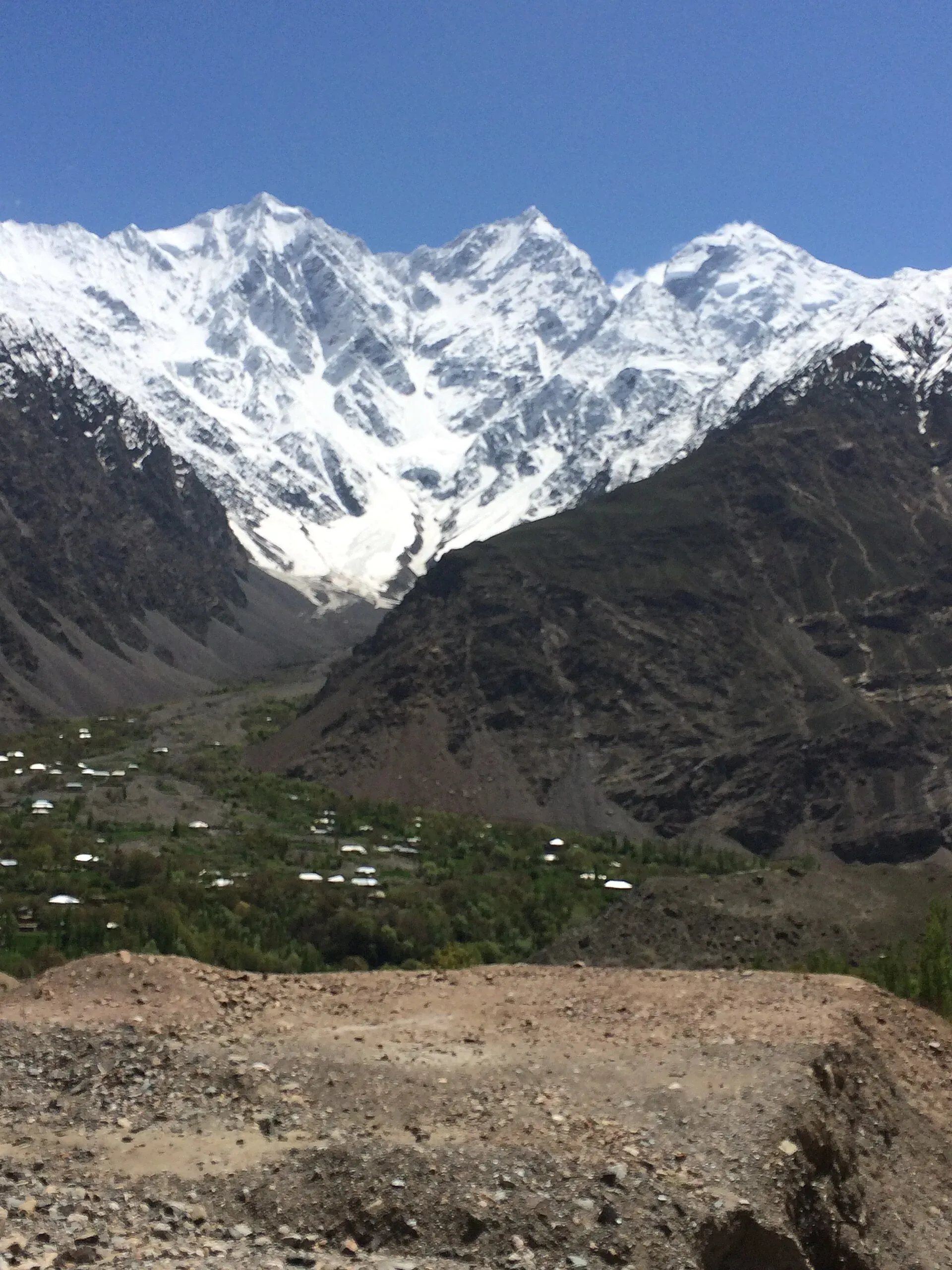
Photo: ZehraRaza73, with thanks · CC BY-SA 4.0 · via Wikimedia Commons · temporary stand-in photo

Laspur Valley
A high side valley in Upper Chitral on the road to Shandur Pass, with Mastuj, Sor Laspur and lakes, and trek links to Swat and Ghizer. Information is limited, so confirm road and rules locally.
Overview
Laspur is a high valley of the Upper Chitral District, above the Mastuj River. It lies on the way to the Shandur Pass, the high crossing between Chitral and Gilgit-Baltistan. Sor Laspur is the main village and the usual stop before the pass. The valley has pastures, forest and glacial lakes, and trekking routes lead from its head to Swat, to Golen Gol and across to the Ghizer valleys. A resident quoted by TNN counts 16 glaciers of different sizes. A local news report calls Sor Laspur the last village of the province and says three passes link the area to Kumrat, to Swat Kalam and, through Shandur, to Gilgit.
Upper Chitral became a separate district from Lower Chitral in November 2018, with its headquarters at Booni. Most of the population is Kho and speaks Khowar, with Wakhi and Kyrgyz spoken in the north.
Few written sources cover the valley, so check details locally.
Plan your visit
- Nearest town
- Mastuj
- Getting there
From Chitral via Booni to Mastuj (OSRM about 113 km, 2.7 h, optimistic; real journeys are far longer), then to Laspur and Shandur. Local reports give about six hours from Chitral to Sor Laspur. More
Best months
Jun – Sep
Getting there
From Chitral, the road runs north-east through Booni to Mastuj, then on to Laspur and Shandur. OSRM gives Chitral to Mastuj at about 113 km and 2.7 hours. OSRM times are optimistic: travellers report much longer, and one local news report put the drive from Chitral to Sor Laspur at about six hours, including two hours from Mastuj. The road has been under repair for years, and parts remain rough. Mastuj stands at about 2,359 m according to Wikipedia.
Road works between Booni and Laspur were under way when TNN reported on the valley, with completion expected to bring more visitors. The Shandur Pass, at about 3,720 m, lies beyond Laspur, and it is about 212 km from Gilgit according to Wikipedia. The road over it is open in summer.
Villages and sights
- Booni. The district headquarters, with shops and a few hotels.
- Mastuj. The valley's main settlement, with an old fort that was built in the 18th century and reconstructed several times.
- Sor Laspur. A high farming village that serves as a stopover for people travelling to Shandur.
- Shandur Polo Ground and Lake. The world-famous polo ground is on the pass at the head of the valley. Teams from Laspur and Mastuj compete against Gilgit-Baltistan teams during the annual festival. In 2026 the festival ran from 11 to 13 June, according to Dawn.
- Bashqar Gol Lake. The one lake in Laspur valley that Wikipedia names, fed by glaciers. See Bashkargol Lake.
- Other lakes. Travel writers mention trout lakes at Khalti and Phander on the Gilgit side, and Shandur Lake near the pass.
More on the larger places along the road is on the pages for Booni, Mastuj and Shandur Pass.
Treks and walks
Phargam An links Golen Gol and Laspur, and Kachakani An crosses from Ushu Gol and Mahodand in Swat to Sor Laspur. Operators also advertise a long crossing to Kumrat over the Thalo Pass. These are high routes with glacier and snow crossings in some places, so hire a local guide and ask the authorities about restricted zones.
When to visit
June to September. TNN says the valley draws visitors in July for its cool weather and is suited to winter sports, though the road is hard in snow. The Shandur road is closed by snow outside the summer season, and the upper valley is snowbound in winter. Festival time is the busiest, and rooms fill, so book ahead.
Where to stay and eat
Guest houses in Mastuj and Sor Laspur are simple. TNN reports that the Khyber Pakhtunkhwa Tourism Department built camping pods in green fields beside the road, in two-bed and four-bed versions with toilet and kitchen facilities, booked through the department's website; rates and availability are not confirmed. During the polo festival a tent camp is set up near the polo ground. Bring cash, spare food and warm clothes.
Culture and languages
Khowar is the main language. Chitral's highland communities include Sunni and Ismaili Muslims, and polo is a point of local pride. Dress modestly and ask before taking photographs of people, especially women.
Safety and practical points
- Security advice. The UK Foreign Office does not name Upper Chitral in its advice, but it does advise against all travel within 10 miles of the Afghan border and against the N-45 up to the edge of Chitral City (checked 16 November 2026). Parts of Upper Chitral lie close to the border. Check the border-zone rules with a licensed operator.
- Altitude. Shandur is at about 3,700 m. Go up gradually.
- Roads. Landslides and washed-out sections are common.
- Mobile signal. Coverage is patchy, so tell someone your plans.
Highlights
- Road to Shandur Pass and the polo ground
- Mastuj and Sor Laspur villages
- Trek links to Swat and Golen Gol
- Shandur Polo Festival each summer
Tips
- Allow a long day from Chitral to Sor Laspur.
- Confirm road status before leaving Chitral.
- Book ahead during the polo festival.
- Go up slowly to Shandur.
Photos we still need: Sor Laspur village and the Shandur road above it; a trekking route from the valley head (Phargam An or Kachakani An). Send us yours
Sources and last checked
Last checked Confidence low9 sources5 still to check
- Last checked
- Method
- Desk research from published sources
- Confidence
- low
- Checked by
- trek.pk research team
Researched from published sources; not yet checked on the ground by our team. Spot something out of date? Report a mistake.
Sources
- Mastuj (Wikipedia) · Wikipedia · checked
- Shandur Pass (Wikipedia) · Wikipedia · checked
- Upper Chitral District (Wikipedia) · Wikipedia · checked
- Sor Laspur: Khyber Pakhtunkhwa's hidden gem of natural beauty · TNN English · checked
- Shandur polo festival to begin on June 11 · Dawn · checked
- Pakistan travel advice (last updated 27 October 2026) · UK FCDO · checked
- OSRM routing · Project OSRM · checked
- Sor Laspur, Khyber Pakhtunkhwa (re-read for road, passes and pods) · TNN English · checked
- Upper Chitral District (Wikipedia), re-read for language and lakes · Wikipedia · checked
Still to be checked on the ground (5)
- Road distances and current surface from Booni to Sor Laspur (Wikipedia Mastuj gives no distances; OSRM Chitral to Mastuj only)
- Altitude of Sor Laspur (not on Wikipedia's Mastuj or Upper Chitral pages; Mastuj 2,359 m)
- Hotel and camp options
- Border-zone restrictions near the valley head
- Which lakes can be reached and by what route (Wikipedia names only Bashqar Gol Lake in Laspur valley)
Nearby and related

Phargam An

Kachakani An

Other treks in Chitral

Chitral Valley
The long Chitral River valley at the foot of the Hindu Kush, with Chitral town's fort and Shahi Mosque, the Lowari Tunnel route, Tirich Mir views and side valleys leading to Kalash and Shandur.

Kumrat Valley
The upper Panjkora valley in Upper Dir, known for deodar forest, the Jahaz Banda meadow and Katora Lake. Access has been cut by floods and a collapsed bridge in 2025 and 2026.

Mahodand Lake
A cold trout lake at about 2,865 m in the Usho valley above Kalam, reached by a rough 4x4 track of around 40 km. Open in summer only.

Ghizer Valley
The long upper Gilgit River valley running west from Gilgit to Shandur, with Punial orchards, Gahkuch, Gupis, Khalti and Phander lakes, trout fishing and side valleys to Yasin and Ishkoman.

Khyber Pakhtunkhwa
Mountains, Buddhist ruins and old bazaars in north-west Pakistan: Swat, Kaghan, Chitral, the Kalash valleys, the Khyber Pass and Peshawar.
Bashkargol Lake
A large glacier-fed lake at about 3,650 m in the Laspur valley of Upper Chitral, reached by 4x4 to Sor Laspur and then a long walk. Also written Bashqar Gol.

Thalo Pass
A long high crossing between Kumrat in Upper Dir and Laspur in Upper Chitral, advertised by operators. Needs a local guide; route details and height are not verified.

Booni
Headquarters of Upper Chitral District at about 2,085 m, near the foothills of Buni Zom and the Qaqlasht meadows. It is a base for local walks and a stop on the road to Mastuj and Shandur.

Mastuj
The main settlement of Mastuj valley in Upper Chitral, at about 2,359 m. It has an old fort ruin, big mountain views, and is the last major stop on the road to Shandur Pass and Gilgit.

Shandur Pass
A high grassy pass of about 3,720 m between Ghizer in Gilgit-Baltistan and Upper Chitral. Home to the Shandur polo ground and a summer festival, reached by a rough road.