

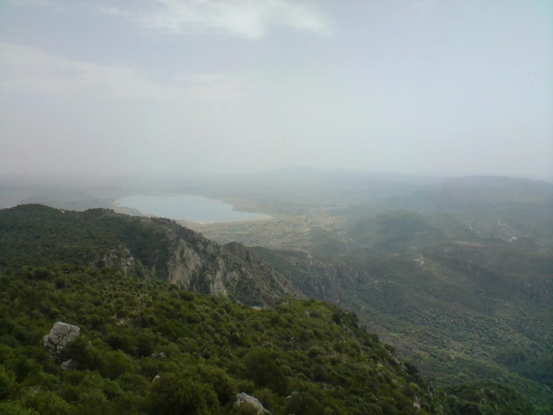
Photo: M. Ali Awab, with thanks · CC BY-SA 3.0 · via Wikimedia Commons · temporary stand-in photo

Potohar Plateau
The rain-fed plateau of northern Punjab between the Indus and Jhelum, from the Margalla Hills to the Salt Range, with Taxila, Rohtas Fort and Katas Raj on its edges.
Overview
The Potohar (also spelled Pothohar) Plateau lies in the north-west of Punjab, with a small north-western corner in the Islamabad Capital Territory. Wikipedia gives its area as about 13,000 km², roughly 160 to 200 km north to south and 80 to 120 km east to west. Its average height is between about 365 m and 579 m above sea level; Wikipedia attributes this range to Maneesha Tikekar's book Across the Wagah (2004). The Indus bounds it on the west and the Jhelum on the east. The Kala Chitta Range and Margalla Hills form the north, and the Salt Range the south, with the Thal Desert beyond. The name probably comes from a Punjabi word for plateau.
Plan your visit
- Nearest town
- Rawalpindi
- Getting there
From Islamabad, Katas Raj is about 154 km (modelled 1.8 h) and Jhelum about 118 km (1.6 h) by road (OSRM). The Grand Trunk Road and the M-2 motorway cross the plateau. More
Best months
Oct – Mar
Land and people
Farming depends largely on rainfall, because there is no proper irrigation system, and the plateau holds about 7% of Pakistan's cultivated land. Most of the soil is described as fertile. Pothwari is the main dialect of the north and centre, with Dhanni in the south, Majhi in the east and Hindko in the west. Its communities include Rajputs, Jats, Awans, Janjuas, Gujjars, Khokhars and Gakhars.
Oil has been produced here since Khaur was discovered in 1915, followed by Dhulian (1935), Tut (1968) and Missa Keswal (1992). The oil goes by pipeline to the Attock Refinery in Rawalpindi.
History in brief
The Soan valley holds the earliest known evidence of human habitation in Punjab, and the Soanian stone and flint tool culture is dated to roughly 774,000 to 11,700 BC. A fossil skull of the extinct ape Sivapithecus indicus was also found on the plateau.
Taxila was a capital of ancient Gandhara and passed from the Achaemenids to the Mauryas, Indo-Greeks, Indo-Scythians and Kushans. The Hunas destroyed it in the 5th century. In the medieval period the Khokhar and Gakhar tribes dominated the plateau. Sarang Khan Gakhar was made ruler in 1520 under the Mughals and died fighting Sher Shah Suri in 1543. Alexander Cunningham rediscovered Taxila in the mid-19th century and John Marshall began excavations in 1913.
What to see and do
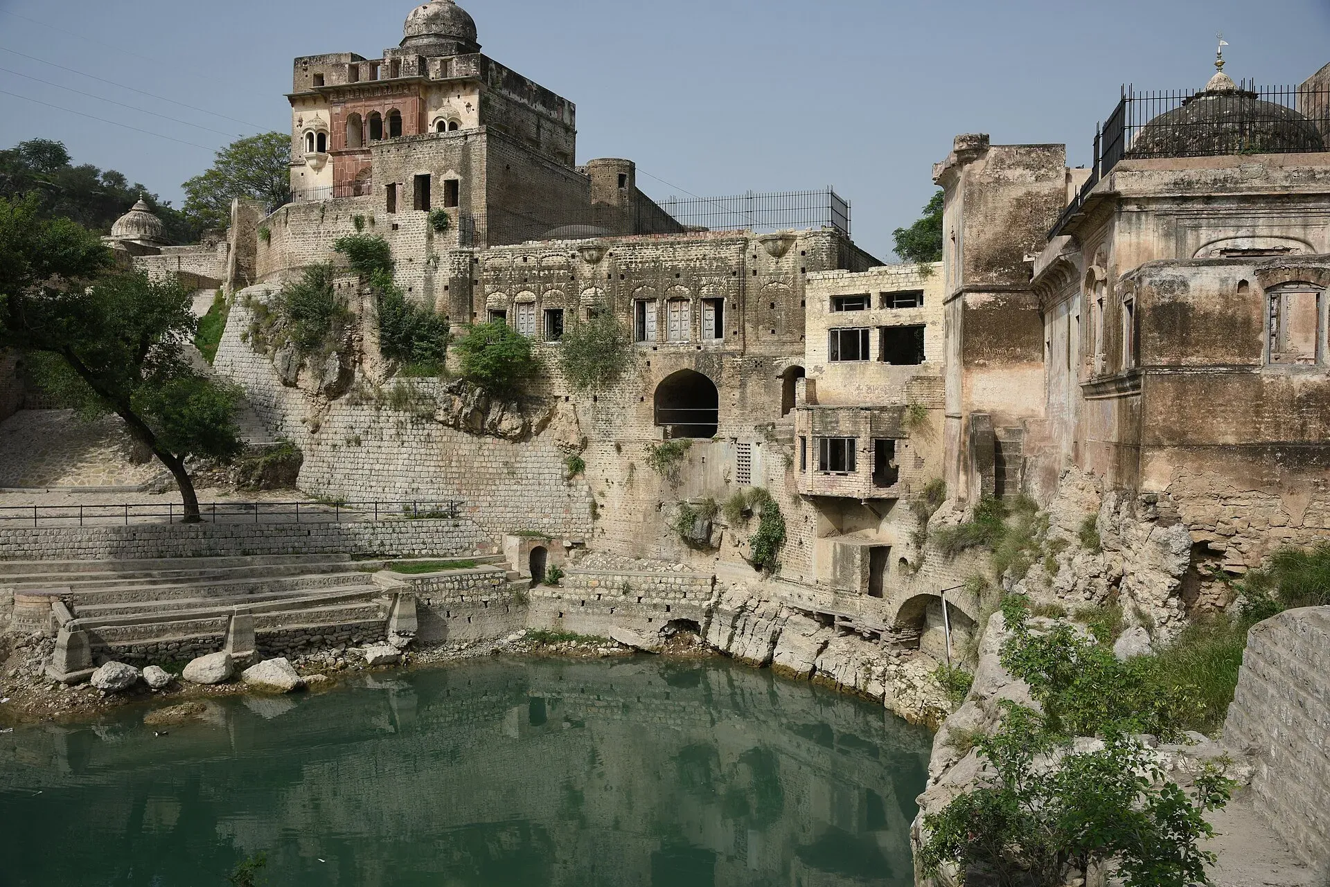
Photo: Mhtoori, with thanks · CC BY-SA 4.0 · via Wikimedia Commons · temporary stand-in photo

Potohar is a region you pass through and explore by day trip rather than a single sight. The main stops are on its edges and within it:
- Taxila. About 35 km north-west of Rawalpindi, a UNESCO World Heritage Site since 1980. It includes the Dharmarajika Stupa, the Jaulian and Mohra Muradu monasteries, and the Hathial, Bhir Mound, Sirkap and Sirsukh sites. See Taxila.
- Rohtas Fort. A 16th-century fort near Jhelum, built by Todar Mal for Sher Shah Suri and a UNESCO site since 1997. See Rohtas Fort.
- Katas Raj. A group of Hindu temples around the sacred Katas pond, which covers 1,391 m² and is up to 6 m deep. Tradition links it to Shiva and the Pandavas. See Katas Raj Temples.
- Khewra Salt Mine. The second largest salt mine in the world, known for pink salt, with up to 250,000 visitors a year according to Wikipedia. See Khewra Salt Mine.
- Sakesar. At 1,525 m in the Salt Range, the highest point of the plateau region. See Sakesar Top.
- Other sites. Rawat Fort near Rawalpindi, the Manikyala Stupa and Tilla Jogian, an abandoned Hindu monastic complex in the Salt Range that is also important in Sikhism.
- The Soan valley. See Soan River.
Rawalpindi and Islamabad are the two main cities.
How to spend a day or two
Most visitors use Islamabad or Rawalpindi as the base. An outline built from the sights above would be one day to the north-west at Taxila and Rawat Fort, and a second, longer day south-east to Jhelum and Rohtas Fort. Katas Raj and the Salt Range, which include Khewra and Sakesar, need a further day. Allow time on the road: Jhelum is about 118 km and Katas Raj about 154 km from Islamabad (OSRM estimates).
When to visit
October to March is pleasant for sightseeing. Summers are hot. Rainfall is the lifeline of local farming, and the plateau relies on it, so the green season follows the monsoon.
Where to stay and eat
Most visitors stay in Islamabad or Rawalpindi and make day trips. Small towns along the Grand Trunk Road and near the Salt Range have basic stays.
Good to know
- Wikipedia lists the plateau's problems as low rainfall, heavy deforestation, coal mining, and oil and gas exploration, and says parts are losing vegetation. The statement is undated, so treat it as a general description, not a measured figure. There are no known rainfall figures.
- By road, Katas Raj is about 154 km from Islamabad (modelled 1.8 h) and Jhelum about 118 km (1.6 h) (OSRM).
- Individual sites on the plateau may charge fees; current fees will be added soon.
Highlights
- About 13,000 km² of rain-fed upland
- Bounded by the Indus, Jhelum, Margalla Hills and Salt Range
- Sakesar, 1,525 m, is its highest point
- Katas Raj, Taxila and Rohtas Fort on its edges
Getting there
From Islamabad, Katas Raj is about 154 km (modelled 1.8 h) and Jhelum about 118 km (1.6 h) by road (OSRM). The Grand Trunk Road and the M-2 motorway cross the plateau.
Tips
- Plan day trips from Islamabad
- Visit between October and March
- Carry water in the Salt Range
Photos we still need: open Potohar farmland or the Soan valley landscape (the hero shows Uchali Lake in the Salt Range, and is used on other pages); Taxila or Rohtas Fort beside the sights list. Send us yours
Sources and last checked
Last checked Confidence medium2 sources2 still to check
- Last checked
- Method
- Desk research from published sources
- Confidence
- medium
- Checked by
- trek.pk research team
Researched from published sources; not yet checked on the ground by our team. Spot something out of date? Report a mistake.
Sources
- Pothohar Plateau (Wikipedia) · Wikipedia · checked
- OSRM driving routes (modelled distance and time) · OSRM project · checked
Still to be checked on the ground (2)
- Rainfall figures (Wikipedia gives none; no meteorological source found)
- Deforestation trend (the Wikipedia sentence is uncited and undated)
Nearby and related

Sakesar Top
The highest point of the Salt Range, about 1,525 m (other sources 1,522 to 1,530 m), above Soon Valley and Uchhali Lake. The summit area has a Pakistan Air Force station and access is controlled; the Amb temples on its flank are a documented sight.

Katas Raj Temples
A group of Hindu temples around a sacred pond in the Salt Range near Kallar Kahar, dating from about the 6th to 10th centuries. Important to Hindus and visited by pilgrims each year. Near the M2 motorway.

Taxila
The ruins of several ancient cities and Buddhist monasteries near Islamabad, inscribed by UNESCO in 1980. Taxila was a crossroads of Gandhara, Greek, Persian and Kushan culture, with a fine museum.

Rohtas Fort
A huge 16th-century fort of Sher Shah Suri near Jhelum, with four kilometres of walls, monumental gates and a village still living inside. UNESCO inscribed it in 1997.

Jhelum
Grand Trunk Road city on the Jhelum River, 23 km from Rohtas Fort (UNESCO), about 30 km from Mangla Dam and about 116 km from Islamabad.

Rawalpindi
Islamabad's older twin city: a busy bazaar and cantonment, the north's main rail and bus hub, and an easy base for Taxila and Murree.