

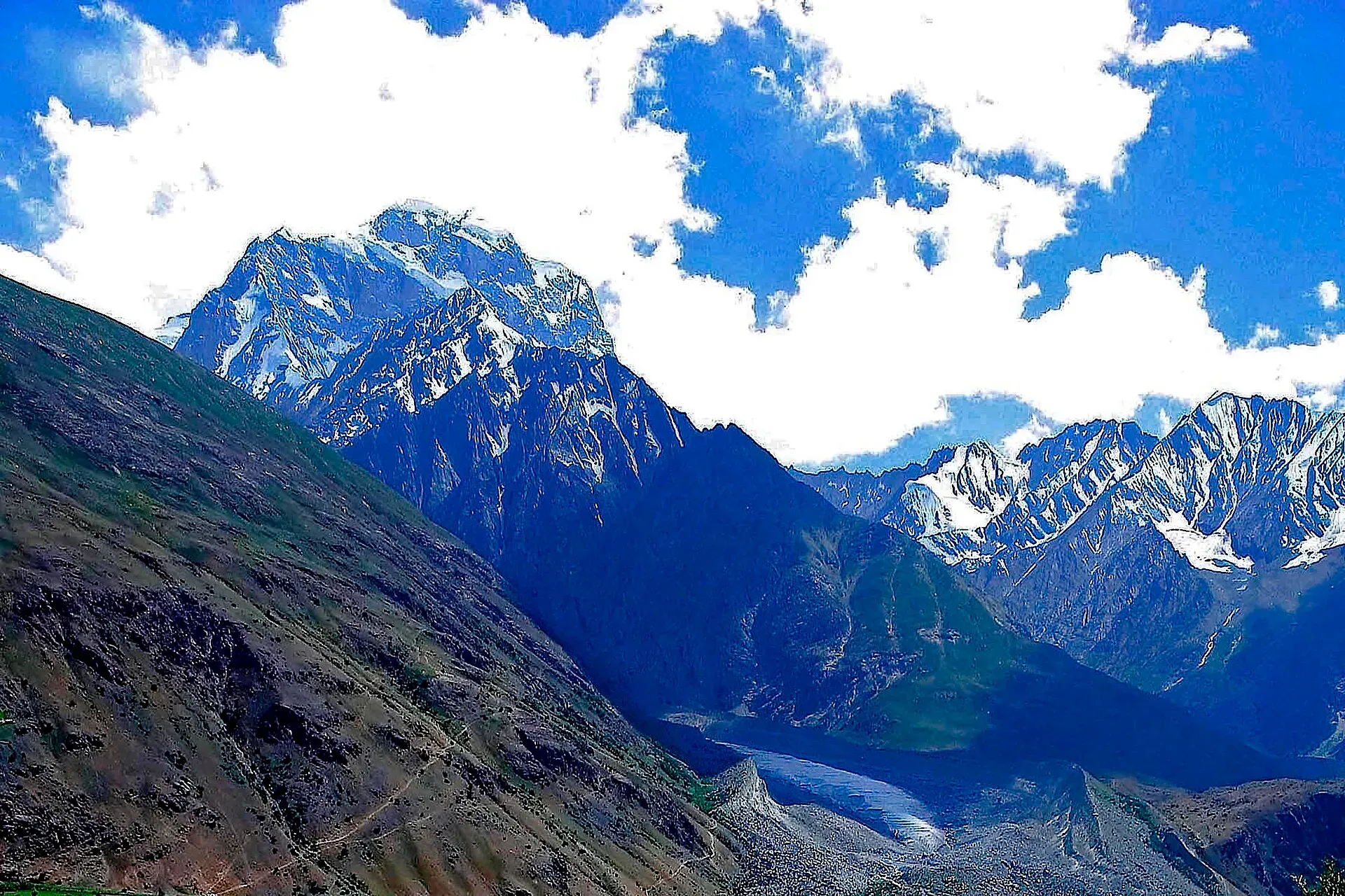
Photo: Pervez Ahmad Khan, with thanks · CC BY-SA 3.0 · via Wikimedia Commons · temporary stand-in photo

Shah Jinali Pass
A fairly gentle Hindu Raj pass of about 4,140 m in Upper Chitral, between Rua and Yashkist. It runs close to the Afghan border and needs checks before you go.
Overview
Shah Jinali An, or Shah Jinali Pass, crosses the Hindu Raj between the Rich Gol and the upper Yarkhun valley in Upper Chitral. The name means "king's polo ground" in Khowar and comes from the wide, level meadows beside the pass. The old Lonely Planet guide gives its height as 4,140 m. There is no known second published height, so treat it as one source. It is in Khyber Pakhtunkhwa, not Gilgit-Baltistan.
It is a trekking pass. The usual trek is about 39 km over four days, from Rua (2,820 m) to Yashkist (2,850 m). The full route is on the Shah Jinali An trek page.
Plan your visit
- Nearest town
- Mastuj
- Getting there
The trek starts at Rua, in the Rich Gol north of Chitral, and ends at Yashkist on the Yarkhun valley road toward Mastuj. More
Best months
Jun – Sep
The Hindu Raj
The Hindu Raj is the range between the Hindu Kush and the Karakoram, running between Chitral and Gilgit and south of the Pamir. Its peaks average 5,000 to 6,000 m. Koyo Zom is the highest, at about 6,872 m. The name was applied in the late 19th century by Colonel Henry Tanner, who admitted it was not widely known locally. Other crossings of the range include the Shandur, Lowari and Darkot passes.
The route in four stages
- Day one, Rua to Dershal (3,300 m). About 16 km up the Rich Gol, with a footbridge crossing after about an hour, then east into the Shah Jinali Gol (gol: side valley). A boulder crossing and a short scree climb lead to a valley of limestone and marble, then to shaded camps among birch and juniper at Dershal.
- Day two, Dershal to Shah Ghari (3,690 m). A short, gentle climb on the east bank to an old Gujar herders' camp with stone shelters and a livestock pen.
- Day three, Shah Ghari to Ishperu Dok (3,990 m). About 3 km of meadow lead to the cairn on the pass, about three hours from Shah Ghari. The level ground just west is the "polo field". Ishperu Dok high camp is a grassy site about an hour below.
- Day four, Ishperu Dok to Yashkist (2,850 m). The trail drops 1,140 m through a canyon crossed by footbridges to the Siru Gol confluence, then through Yashkist to the hot Yarkhun valley floor.
What to see and do
The valley below Dershal runs through limestone and marble, with birch and juniper. Few trekkers come here, so the trail is quiet. On the pass day an operator lists the Afghan border range and Qala-i-Ust (6,317 m) among the views.
When to visit
Mid-June to mid-September is usually walkable. Snow lingers on the upper stages into June, and by late September herders have left and nights are cold.
Where to stay and eat
Camp. You can buy basic supplies in Mastuj and Chitral before you start. Porters here often agree a flat price per stage that includes their food. See Mastuj and Chitral.
Good to know
- Border. The route runs within about 8 km of Afghanistan. Carry your passport or CNIC, keep to the usual route and expect checks.
- Permit and NOC. Treated as restricted. Foreign visitors need a No Objection Certificate for Chitral; a Senate committee briefing on 6 May 2026 said it was still in force, and KP Tourism launched an online NOC system in July 2025. Rules have changed before, so confirm with a Chitral operator or the Deputy Commissioner. Current fees will be added soon.
- Ask the district administration or local police about current conditions before you go. Travel advice. For foreign visitors: the UK FCDO (updated 27 October 2026) advises against all travel on the N-45 up to the edge of Chitral city. Check the live page.
- Rescue. Slow. The nearest care is at Mastuj or Chitral.
Highlights
- Name means king's polo ground in Khowar
- Pass at about 4,140 m, non-technical
- Less than 8 km from the Afghan border
- Links well with Thui An and Broghil treks
Getting there
The trek starts at Rua, in the Rich Gol north of Chitral, and ends at Yashkist on the Yarkhun valley road toward Mastuj. Chitral can be reached by road from Peshawar or Islamabad via the Lowari Tunnel, or by flight when operating.
Tips
- Hire a local guide or porter: footbridges can wash out
- Confirm the NOC with a Chitral operator
- Keep your passport or CNIC on you
- Acclimatise before the high camp
Photos we still need: Shah Jinali An meadow or the cairn on the pass (the Thui An photo previously used shows a different pass); Rich Gol near Rua, and the Dershal camp. Send us yours
Sources and last checked
Last checked Confidence medium5 sources3 still to check
- Last checked
- Method
- Desk research from published sources
- Confidence
- medium
- Checked by
- trek.pk research team
Researched from published sources; not yet checked on the ground by our team. Spot something out of date? Report a mistake.
Sources
- Shah Jinali Trek · Hunza Guides Pakistan · checked
- Senate panel flags hurdles to Chitral tourism (6 May 2026) · The Express Tribune · checked
- KP launches online NOC system for foreign tourists (July 2025) · Daily Times / APP · checked
- Pakistan travel advice (updated 27 October 2026) · UK FCDO · checked
- Hindu Raj (Wikipedia) · Wikipedia · checked
Still to be checked on the ground (3)
- Pass height (one source: 4,140 m; Lonely Planet text; no second figure found)
- NOC requirement and permit rules (Senate panel 6 May 2026 and KP online NOC system July 2025 already cited; no newer official notice)
- Which side of the Rich Gol the camps are on (operator page returned HTTP 403)
Nearby and related

Shah Jinali An

Thui An

Broghil and Karambar An

Chitral Valley
The long Chitral River valley at the foot of the Hindu Kush, with Chitral town's fort and Shahi Mosque, the Lowari Tunnel route, Tirich Mir views and side valleys leading to Kalash and Shandur.

Broghil Valley National Park
A remote high valley at the northern tip of Chitral beside the Wakhan Corridor, with about 30 lakes, glaciers, Wakhi and Kyrgyz communities and rare wildlife. Reached only by a long mountain drive.

Chitral
The main town of Lower Chitral District, at about 1,500 m on the Chitral River, with a historic fort, a royal mosque and views of Tirich Mir. The base for the Kalash valleys.

Chitral and Kalash
A 6-7 day road trip from Islamabad to Chitral through Dir and the Lowari Tunnel, with the Kalash valleys of Bumburet, Rumbur and Birir, Chitral Fort and Tirich Mir views.