

Photo: Muhammad Umair Gondal, with thanks · CC BY-SA 4.0 · via Wikimedia Commons · temporary stand-in photo

M-15 Hazara Motorway
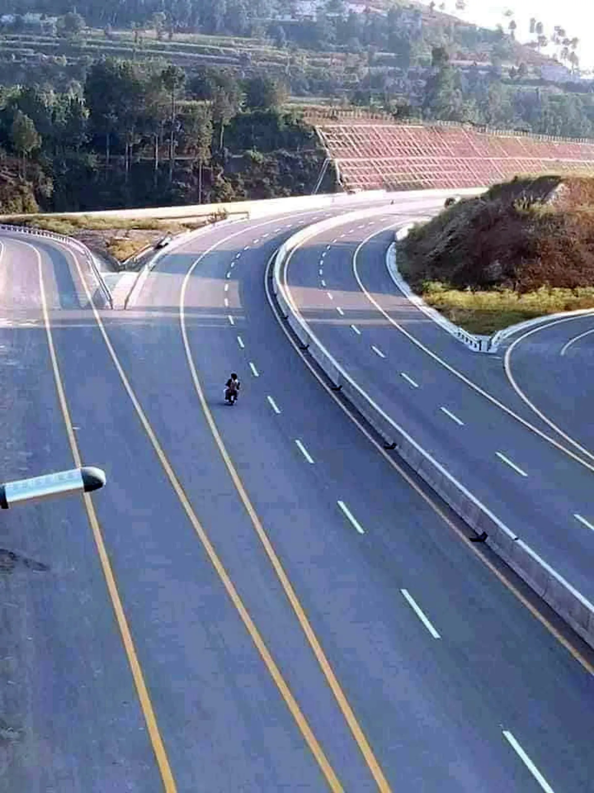
The M-15 Hazara Motorway runs about 180 km from Burhan on the M-1 near Hasan Abdal through Haripur, Havelian, Abbottabad and Mansehra to Thakot. It opened in stages from 2017 to 2020 and has tunnels.
The journey
Last verified: 16 November 2026.
Overview
The Hazara Motorway, called the M-15 (and E-35 by the NHA), runs from Burhan interchange on the M-1 near Hasan Abdal to Thakot in Battagram, where it rejoins the N-35, the Karakoram Highway. Wikipedia gives 180 km and these openings: Burhan to Havelian on 27 December 2017, Shah Maqsood to Mansehra on 18 November 2019, and Mansehra to Thakot on 29 July 2020. It has six lanes to Haripur, four from Havelian to Mansehra and two from Mansehra to Thakot, and the article gives five or six tunnels (two near Abbottabad, plus Battal, Karmong and Mansehra). Daily Times (March 2020) also says five, while Wikipedia's inauguration section says six. The Mansehra tunnel is about 2.75 km and the Shimla Hill tunnel near Abbottabad about 1.75 km. Lane counts also vary between reports: Daily Times (2020) says six lanes to Mansehra and four beyond, so check the signs and current conditions.
Interchanges
Wikipedia lists: Jharikas, Haripur, Shah Maqsood, Havelian, Qalandarabad, Mansehra, Bedadi and Battagram. No kilometre markers are given.
Status in 2026
The M-15 reopened with the M-1 and M-14 at 6:00 am on 27 September 2026 after the closure to restore the loop road linking the M-1 to the Hazara Motorway.
Rules, tolls and M-Tag
Motorway Police (NHMP) patrol the road; for emergencies call 130. Reports in June 2026 say NHMP restored the motorway limits to 120 km/h for cars and light vehicles and 110 km/h for buses and heavy vehicles, after a temporary cut in March 2026. Limits can change and some stretches carry their own, so follow the signs. Keep left, overtake on the right, and do not stop on the carriageway.
Tolls are charged at interchanges and the NHA publishes the rates; news reports say rates were revised in 2026. Current fees will be added soon, so check the NHA toll chart before you go. Most NHA motorways use the electronic M-Tag; ask your rental company whether the car has one.
Weather
Hills, rain and winter cold. Fog and rain can reduce visibility in the tunnels and cuttings. Landslides can close lower sections of the KKH beyond Thakot in the monsoon season.
What to see near the exits
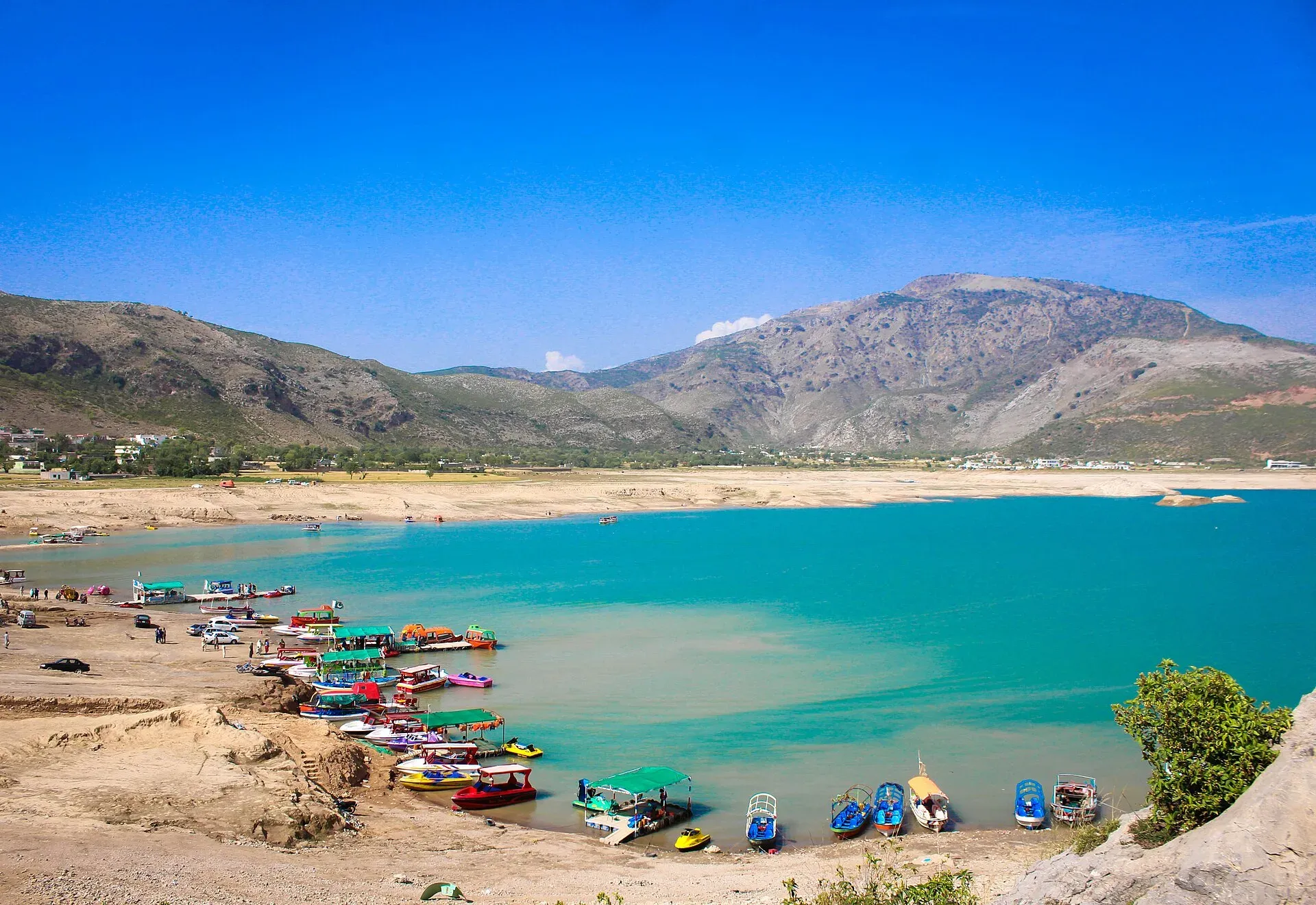
Photo: Muhammad Anis ur Rehman, with thanks · CC BY-SA 4.0 · via Wikimedia Commons · temporary stand-in photo

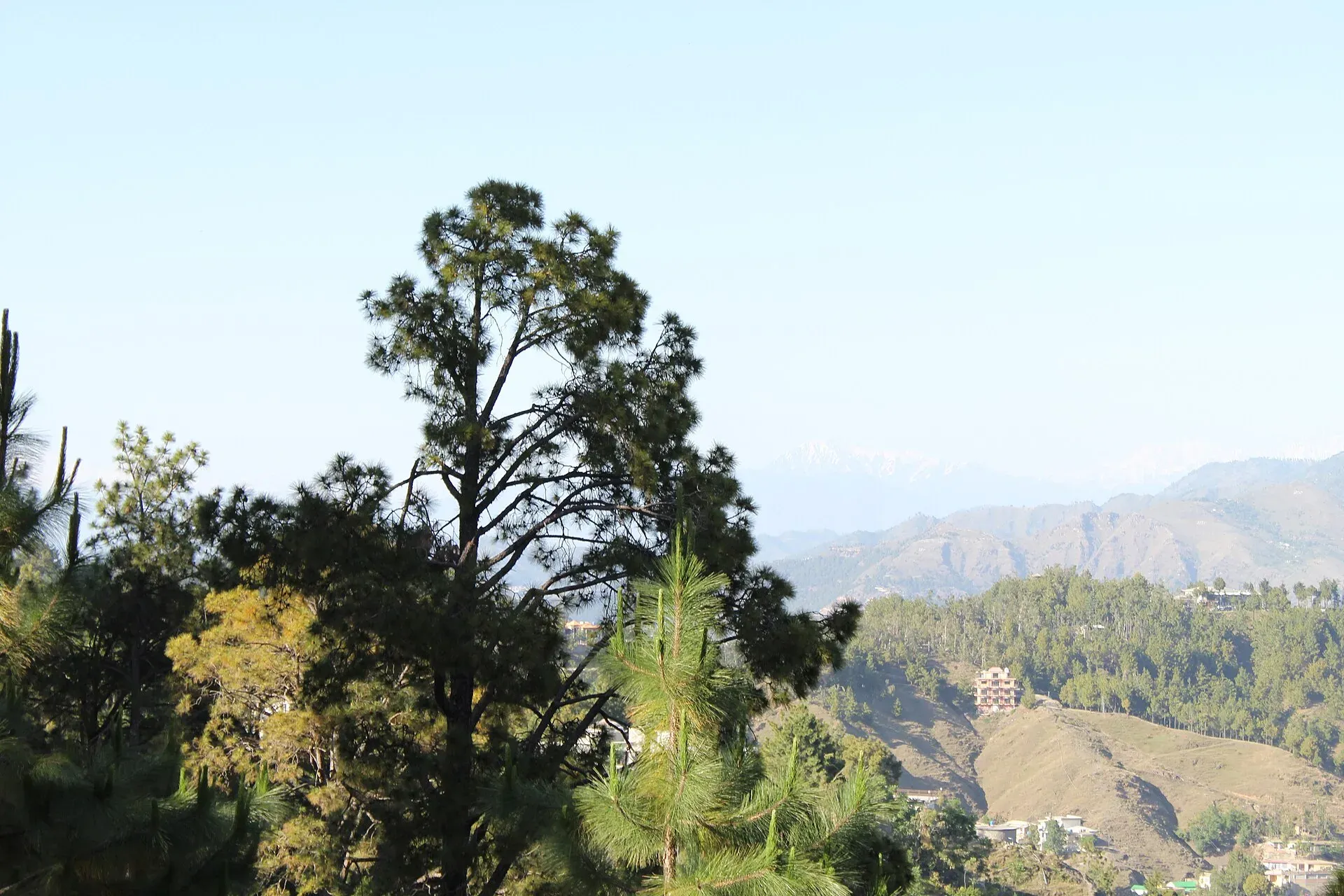
Photo: Malik Sohail Nawaz, with thanks · CC BY-SA 4.0 · via Wikimedia Commons · temporary stand-in photo

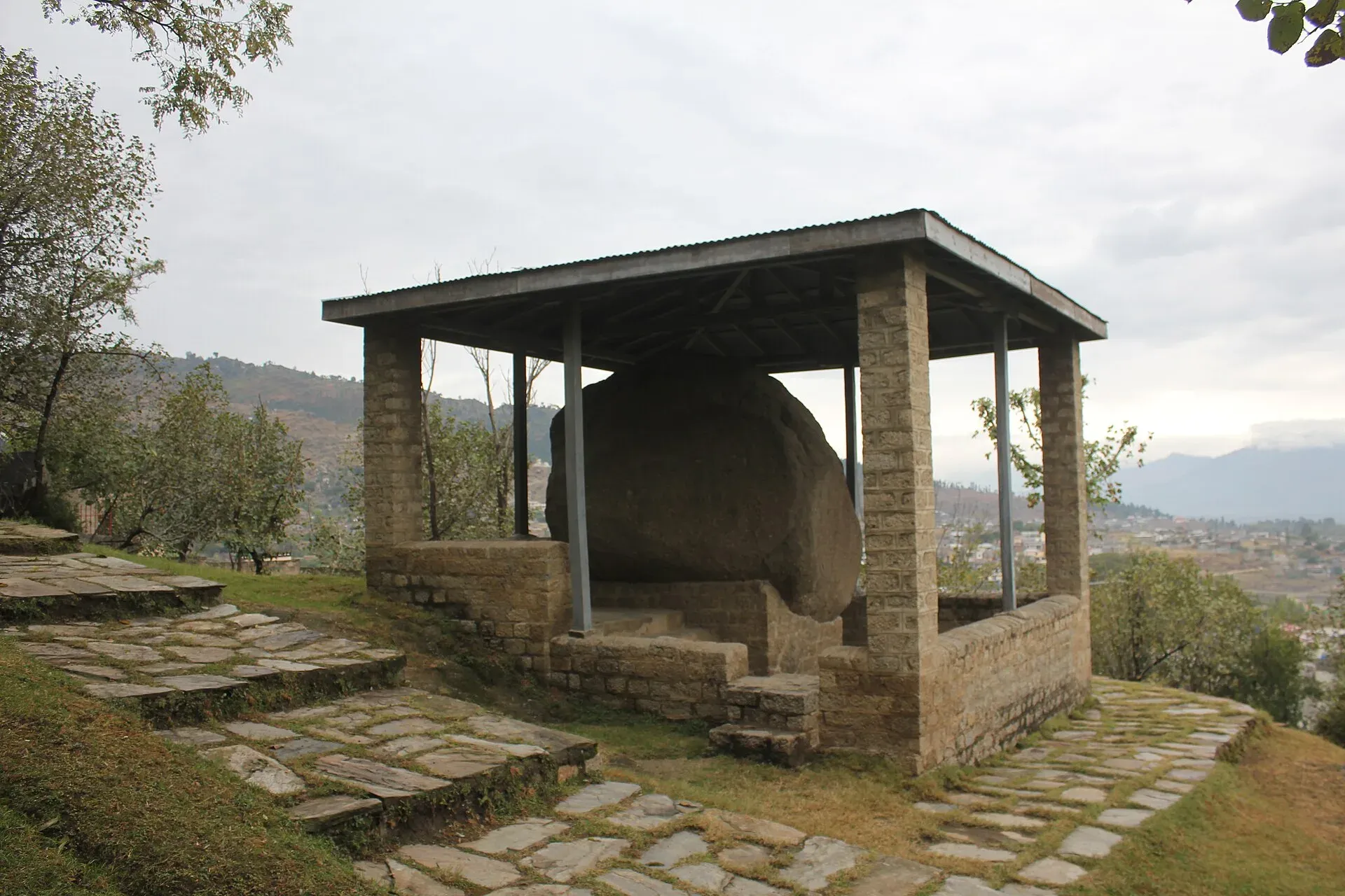
Photo: Muhammad Zahir, with thanks · CC BY-SA 3.0 · via Wikimedia Commons · temporary stand-in photo

In order from the start:
- Hasan Abdal (Burhan interchange). The motorway begins on the M-1 near this town on the Grand Trunk Road. Gurdwara Panja Sahib, a major Sikh shrine, is in the town.
- Haripur. The first big interchange. Khanpur Dam, in Haripur District, is a short drive from the city.
- Havelian and Abbottabad. Havelian is the exit for Abbottabad, the main town of the Hazara hills. Shimla Hill gives views over the city. The road to Murree, Galyat, Nathia Gali and Ayubia runs from Abbottabad.
- Mansehra. Wikipedia lists Major Rock Edicts 1 to 14 of Ashoka carved on boulders here, in the Kharoshthi script, dated to the 3rd century BCE (around 257 BCE by one scholar). The edicts site is at Mansehra; ask locally for current access.
- Battagram and Thakot. The motorway ends at Thakot on the Indus, where the N-35 (Karakoram Highway) continues towards Besham and the north.
Safety
Ask the district administration or local police about current conditions before you go. For foreign visitors: the UK FCDO (updated 27 October 2026, checked 16 November 2026) advises against all travel on the Karakoram Highway between Mansehra and Chilas, and against all travel to Buner and Charsadda. It does not name Haripur or Abbottabad, but notes KP emergency measures and Governor's Rule since 11 October 2026. Call 130 for the Motorway Police.
Highlights
- About 180 km to Thakot
- Opened 2017-2020
- Tunnels near Abbottabad
- Gateway to the KKH
Stops
Numbers follow the stops in order. The map shows the 6 stops that have a trek.pk page, not the road itself.
Road conditions
Six, four and two lanes in sections; tunnels. Check weather.
Fuel and services
No service areas listed. Fuel in Haripur, Abbottabad or Mansehra.
Where to stay, eat and fuel up
Places to stay
- NRTC GuesthouseMap of NRTC Guesthouse in Google Maps
- Jaba Towers Hotel MansehraCall Jaba Towers Hotel MansehraMap of Jaba Towers Hotel Mansehra in Google Maps
- RED ROSE HOTEL & RESORT MANSEHRACall RED ROSE HOTEL & RESORT MANSEHRAMap of RED ROSE HOTEL & RESORT MANSEHRA in Google Maps
- Staff College Hostel No. 2Map of Staff College Hostel No. 2 in Google Maps
- Ali Baba Guest House HaripurCall Ali Baba Guest House HaripurMap of Ali Baba Guest House Haripur in Google Maps
- Royal Inn Guest HouseCall Royal Inn Guest HouseMap of Royal Inn Guest House in Google Maps
Places to eat
- Yum Bakery and CafeCall Yum Bakery and CafeMap of Yum Bakery and Cafe in Google Maps
- BaithakCall BaithakMap of Baithak in Google Maps
- Food HutCall Food HutMap of Food Hut in Google Maps
- Flame On HaripurCall Flame On HaripurMap of Flame On Haripur in Google Maps
- Desi Mehfil RestaurantMap of Desi Mehfil Restaurant in Google Maps
- Balochi Sajji House mansehraCall Balochi Sajji House mansehraMap of Balochi Sajji House mansehra in Google Maps
Essential services fuel stations, mechanics, ATMs, banks, pharmacies and hospitals and clinics
Fuel
- Attock Petrol PumpMap of Attock Petrol Pump in Google Maps
- Sakhi Darbar PSO Petrol PumpMap of Sakhi Darbar PSO Petrol Pump in Google Maps
- ShellCall ShellMap of Shell in Google Maps
- Abshar CNGCall Abshar CNGMap of Abshar CNG in Google Maps
- Akbar Ahmed CNGCall Akbar Ahmed CNGMap of Akbar Ahmed CNG in Google Maps
- Muzaffar Khan PetroleumCall Muzaffar Khan PetroleumMap of Muzaffar Khan Petroleum in Google Maps
Mechanics and tyre shops
- Honda Gold StarCall Honda Gold StarMap of Honda Gold Star in Google Maps
- Shah G Alignment And Tyre ShopMap of Shah G Alignment And Tyre Shop in Google Maps
- London wheels 3D computerised wheel Alignment serviceCall London wheels 3D computerised wheel Alignment serviceMap of London wheels 3D computerised wheel Alignment service in Google Maps
- Hassan Bumper, Headlights & Plastic repair WorkshopCall Hassan Bumper, Headlights & Plastic repair WorkshopMap of Hassan Bumper, Headlights & Plastic repair Workshop in Google Maps
- Tannan oil change, Wheel Alignment, balancing, Tunning & Battery shop 10 minute serviceCall Tannan oil change, Wheel Alignment, balancing, Tunning & Battery shop 10 minute serviceMap of Tannan oil change, Wheel Alignment, balancing, Tunning & Battery shop 10 minute service in Google Maps
ATMs
- National Bank of PakistanCall National Bank of PakistanMap of National Bank of Pakistan in Google Maps
- HBLMap of HBL in Google Maps
- Allied Bank LimitedCall Allied Bank LimitedMap of Allied Bank Limited in Google Maps
- The Bank of PunjabCall The Bank of PunjabMap of The Bank of Punjab in Google Maps
- NATIONAL BANK OF PAKISTANMap of NATIONAL BANK OF PAKISTAN in Google Maps
- National Bank of Pakistan (NBP)Call National Bank of Pakistan (NBP)Map of National Bank of Pakistan (NBP) in Google Maps
Banks and money exchange
- National Bank of Pakistan (NBP)Call National Bank of Pakistan (NBP)Map of National Bank of Pakistan (NBP) in Google Maps
- Bank of KhyberCall Bank of KhyberMap of Bank of Khyber in Google Maps
- Esahulat 64375Call Esahulat 64375Map of Esahulat 64375 in Google Maps
- Pakistan Currency Exchange WESTERN UNION RIA MONEYGRAMCall Pakistan Currency Exchange WESTERN UNION RIA MONEYGRAMMap of Pakistan Currency Exchange WESTERN UNION RIA MONEYGRAM in Google Maps
- BankIslami - Mansehra BranchCall BankIslami - Mansehra BranchMap of BankIslami - Mansehra Branch in Google Maps
- Bank Al Habib LtdCall Bank Al Habib LtdMap of Bank Al Habib Ltd in Google Maps
Pharmacies
- Alam Family HospitalCall Alam Family HospitalMap of Alam Family Hospital in Google Maps
- Bilal PlazaCall Bilal PlazaMap of Bilal Plaza in Google Maps
- Adeel Pharmacy wah canttCall Adeel Pharmacy wah canttMap of Adeel Pharmacy wah cantt in Google Maps
- Faisal Chemist 2Call Faisal Chemist 2Map of Faisal Chemist 2 in Google Maps
- Agha Jee MedicoseCall Agha Jee MedicoseMap of Agha Jee Medicose in Google Maps
Hospitals and clinics
- Shamshad Aslam HospitalCall Shamshad Aslam HospitalMap of Shamshad Aslam Hospital in Google Maps
- Allama Iqbal Hospital HaripurCall Allama Iqbal Hospital HaripurMap of Allama Iqbal Hospital Haripur in Google Maps
- Fatima HospitalCall Fatima HospitalMap of Fatima Hospital in Google Maps
- DHQ Hospital, HaripurCall DHQ Hospital, HaripurMap of DHQ Hospital, Haripur in Google Maps
- Umer Hospital Wah CanttCall Umer Hospital Wah CanttMap of Umer Hospital Wah Cantt in Google Maps
- City HospitalCall City HospitalMap of City Hospital in Google Maps
Listings come from Google Maps data and are unverified: phone numbers, opening months and prices may have changed. Report a problem · Own one of these? Claim it
More safety notes
For foreign visitors: the UK FCDO advises against all travel on the KKH between Mansehra and Chilas. Call 130.
Tips
- Check FCDO advice before the north
- Check NHMP for closures
- Fill up in Abbottabad
Sources and last checked
Last checked Confidence medium10 sources5 still to check
- Last checked
- Method
- Desk research from published sources
- Confidence
- medium
- Checked by
- trek.pk research team
Researched from published sources; not yet checked on the ground by our team. Spot something out of date? Report a mistake.
Sources
- M-15 motorway (Pakistan) · Wikipedia · checked
- National Highway Authority (official site; toll chart page could not be opened from our connection) · Government of Pakistan · checked
- National Highways and Motorway Police (helpline 130) · Government of Pakistan · checked
- Pakistan restores motorway speed limits to 120 km/h · DrivePK · checked
- Motorway Police begin fines for new speed limits on M2 · Dunya News · checked
- M-1 Motorway reopens to all traffic after five-day closure · ARY News · checked
- Pakistan travel advice (updated 27 October 2026) · UK FCDO · checked
- Havelian-Thakot motorway work 98% completed · Daily Times · checked
- PM inaugurates Hazara Motorway Havelian-Mansehra section · Zameen.com news · checked
- Ashoka's Major Rock Edicts · Wikipedia · checked
Still to be checked on the ground (5)
- Number of tunnels: five (Daily Times 2020, Wikipedia route section) or six (Wikipedia inauguration section)
- Lanes by section: Wikipedia says six to Haripur, four to Mansehra, two to Thakot; Daily Times (2020) says six to Mansehra and four beyond
- Toll rates (NHA toll chart not reachable; no official M-15 figure found)
- Km markers (none published in the sources found)
- Public access arrangements at the Mansehra rock edicts site
Nearby and related

Haripur
A city in the Hazara plain, about 65 km north of Islamabad and 35 km south of Abbottabad, founded in 1822. A practical stop on the way to the hills and the Karakoram Highway.

Abbottabad
A cool, green cantonment city at about 1,256 m in Hazara, the military academy town and the main gateway to Nathia Gali, Thandiani, Ayubia National Park and the Kaghan Valley.

Mansehra
The headquarters of Mansehra District in Hazara, famous for the Ashoka rock edicts near the city. A big market town and the usual stop before Balakot, Naran and the Karakoram Highway.

Batagram
District headquarters on the Karakoram Highway side road, about 1,038 m up and about 75 km from Mansehra. A practical stop on the way to Besham and the Allai valley.

Besham
A busy Indus-side town and junction on the Karakoram Highway at about 613 m, long used as the first overnight stop from Islamabad towards Gilgit and Hunza.

Ashoka Rock Edicts (Mansehra)
Fourteen edicts of the Mauryan emperor Ashoka cut into three boulders outside Mansehra, written in Kharosthi in the 3rd century BCE. On Pakistan's UNESCO tentative list since 2004.

Murree
Hill resort and district capital at about 2,300 m in the Galyat hills above Islamabad. Mall Road, viewpoints, cool summers and winter snow; busy at weekends.
Murree, Galyat and Abbottabad
A two-day loop from Islamabad up to Murree, along the Galyat ridge to Nathia Gali and down to Abbottabad, about 227 km by road. Best in spring and autumn; snow can shut the roads in winter.