

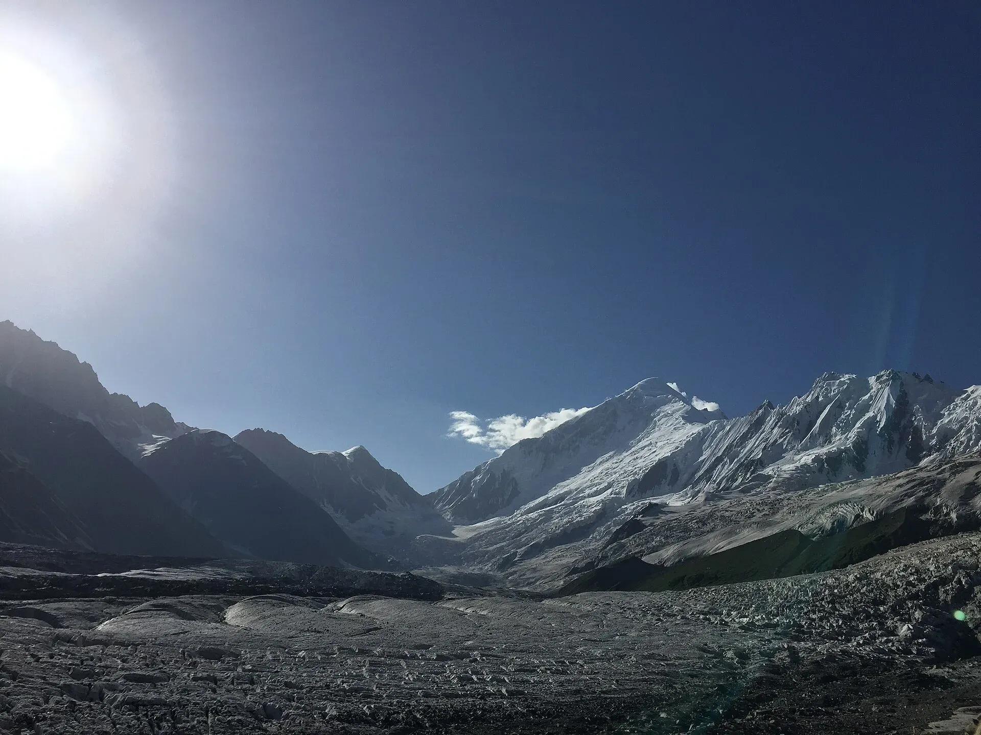
What makes a trek "beginner-friendly" here
The Karakoram and Hindu Kush are big mountains, and even the gentle routes reach heights where altitude is a real factor. A beginner-friendly trek in Pakistan usually means a clear trail, no technical climbing, no major river crossing, short days and good water. It does not mean "no preparation". Every route below takes you above 3,000 m, so give yourself time to acclimatise, carry warm layers and tell someone your plan.
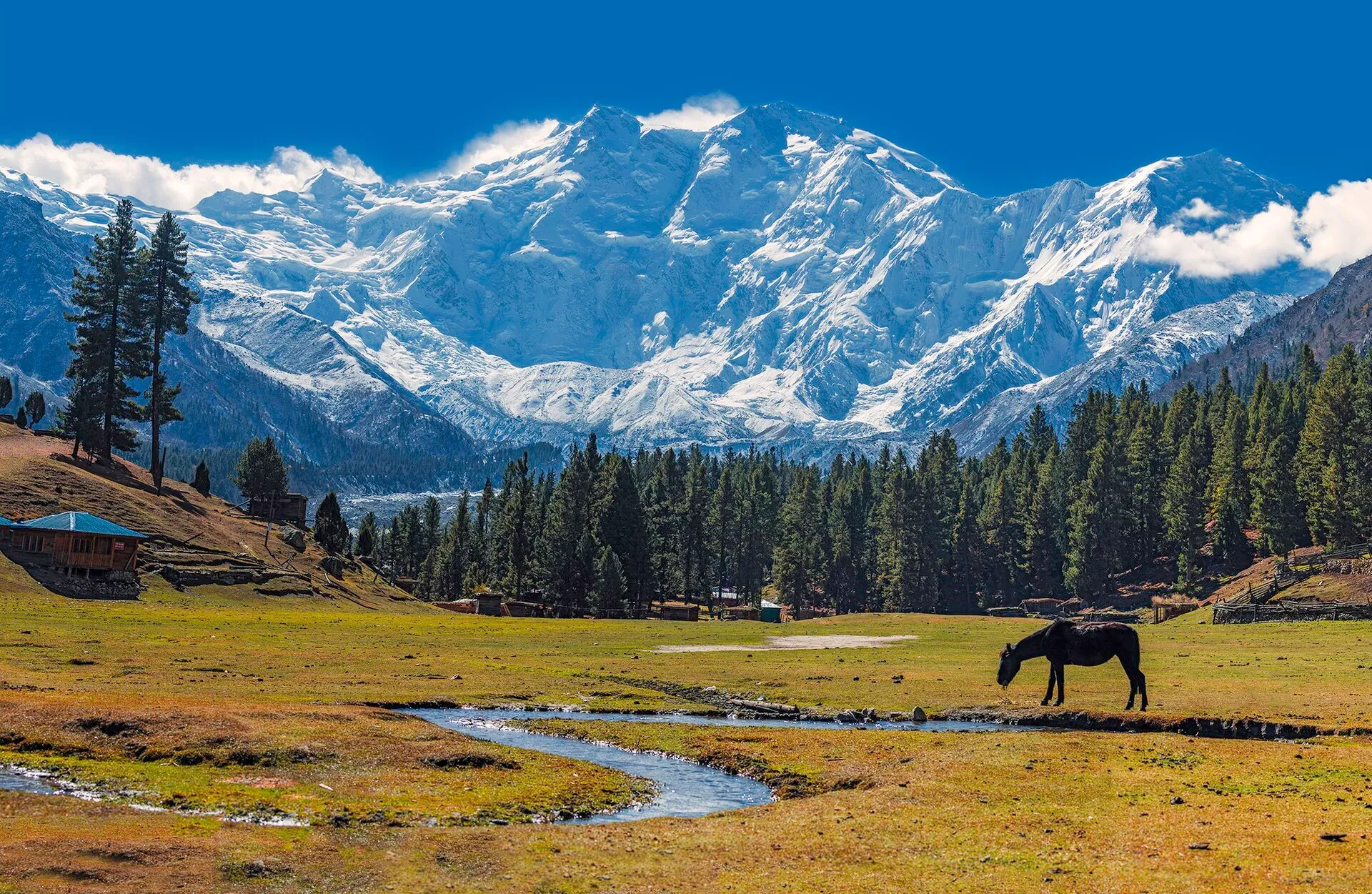
Photo: Imrankhakwani, with thanks · CC BY-SA 4.0 · via Wikimedia Commons · temporary stand-in photo
All five lie in Gilgit-Baltistan, which the UK government does not advise against in general (FCDO page updated 27 October 2026, checked 16 November 2026). The road to reach them matters, though: the Karakoram Highway between Mansehra and Chilas is on the UK's "all travel" list, which is why many visitors fly to Gilgit or Skardu. Read the live advice before you book.
1. Rakaposhi Base Camp (Minapin, Nagar)
Time: two to three days. Distance: about 17.6 km. Top: Tagaphari meadow, between about 3,260 m and 3,500 m depending on the source.
The easiest way to stand in front of a 7,000 m Karakoram wall. The trail leaves Minapin, beside the Karakoram Highway at about 2,000 m, and climbs in switchbacks to Tagaphari, the meadow below the ridge that joins Rakaposhi and Diran. The climb is about 1,250 to 1,500 m depending on the source, and most people take two days up and one down, with a night at Hapakun. There is no glacier crossing on the standard trail, but do not walk onto the Minapin Glacier toward Diran Base Camp without a local guide and rope. The usual season is June to September.
2. Fairy Meadows and Nanga Parbat Viewpoint
Time: three to five days including travel. Walk: about 5 km from Tato to the meadows. Top: meadows at about 3,300 m; Wikipedia gives the Raikot (Rakhiot) base camp on Nanga Parbat as about 4,100 m.
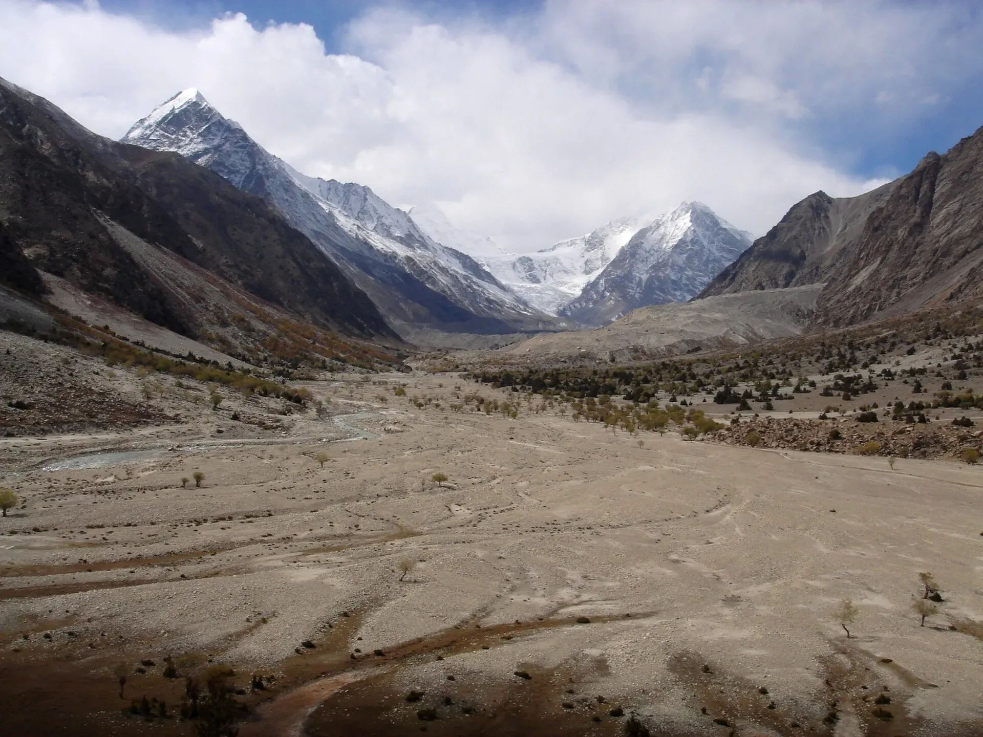
Photo: Daniel Martin, with thanks · CC BY 3.0 · via Wikimedia Commons · temporary stand-in photo
You drive a rough jeep track of about 15 km from Raikot Bridge to Tato, then walk about three to four hours to Fairy Meadows (some guides quote less), with the north face of Nanga Parbat (8,126 m) ahead. Beyond are Beyal and Nanga Parbat Base Camp for those with a longer day. The jeep track is narrow and steep and should not be used in heavy rain. The usual season is late May to mid-October. Book a bed or tent in July and August. See our guide to visiting Fairy Meadows responsibly.
3. Rupal Valley (Astore)
Time: five to six days. Top: Shaigiri, below the Rupal Face.
The standard trek starts at Tarashing and follows the valley floor past Rupal village and the German base camp at Herrligkoffer, crosses the Bazhin Glacier on a short, clear path, then reaches Shaigiri below the Rupal Face. The face rises about 4,600 m from the valley floor to the summit and is often described as one of the biggest mountain walls on Earth. There are no steep climbs. June and July can have more snow on the glacier crossings, and September and early October are crisp and stable. Landslides can block the Astore road after heavy rain.
4. Boibar (Upper Hunza)
Time: three days. Distance: about 27.4 km. Top: about 4,000 m.
A quiet valley from Morkhun, south of Sost. The route passes the old Wakhi village of Avgarch, said to be the first Wakhi settlement in Gojal, and old juniper forest, some of whose trees are said to be more than 1,000 years old. The guidebook grades it easy, but it reaches 4,000 m, and there is some rockfall risk and a steep, narrow section with log steps between Jamalabad and Avgarch. It is not ideal for anyone who dislikes heights. Hire a local guide or porter. The season is mid-June to September.
5. Asumbar Haghost (Ghizer)
Time: four days. Distance: about 44.7 km. Top: about 4,560 m.
A grassy, non-glaciated pass between the Ishkoman and Yasin valleys. Many people call it one of the easiest passes in the Karakoram and Hindu Kush. There is no ice, no scrambling and no serious river crossing. The longest day, day 4, is about 18 km and all downhill. Camps rise to about 4,000 m, so take altitude seriously. Snow can lie on the pass until about the end of June, and mid-July to mid-September is the usual window. Use a guide; place names are sparse on maps.
Permits and fees
Dawn reported on 29 March 2026 that foreign visitors to open-zone areas do not need a trekking permit, and that permits from the Gilgit-Baltistan tourism department are needed for treks and climbs in restricted zones. Fee rules for trekkers in Gilgit-Baltistan changed in 2024 and 2025 and were disputed in court, so we cannot give an amount. Current fees will be added soon. Ask a licensed operator or the Gilgit-Baltistan Tourism Department in Gilgit. Central Karakoram National Park (CKNP) treks may need their own permit.
Choosing between them
- One or two nights, big view: Rakaposhi Base Camp or Fairy Meadows.
- Longer, quiet walk: Rupal Valley, Boibar.
- A real pass crossing: Asumbar Haghost.
- Prefer a jeep road and a shorter walk: Fairy Meadows.
A short checklist
- Arrive in the area two or three days early to adjust to the altitude.
- Book a licensed guide or operator.
- Pack warm layers, rain shell, hat, gloves and sunscreen.
- Carry water treatment tablets or a filter.
- Check weather and landslide news the day before.
- Agree prices, rest days and what is included before you start.
- Take rubbish out with you.
- Buy insurance that covers high-altitude trekking and helicopter rescue.


