

Photo: Muneeb Qazi, with thanks · CC BY-SA 4.0 · via Wikimedia Commons · temporary stand-in photo

Islamabad to Khunjerab and the China Border
An overland guide from Islamabad to Khunjerab Pass (4,693 m) on the KKH, with the border rules to check: who can visit the top, who can cross to China, and the seasons.
Customise this route Change the dates, stops and how you travel in the Road Trip Planner.
Overview
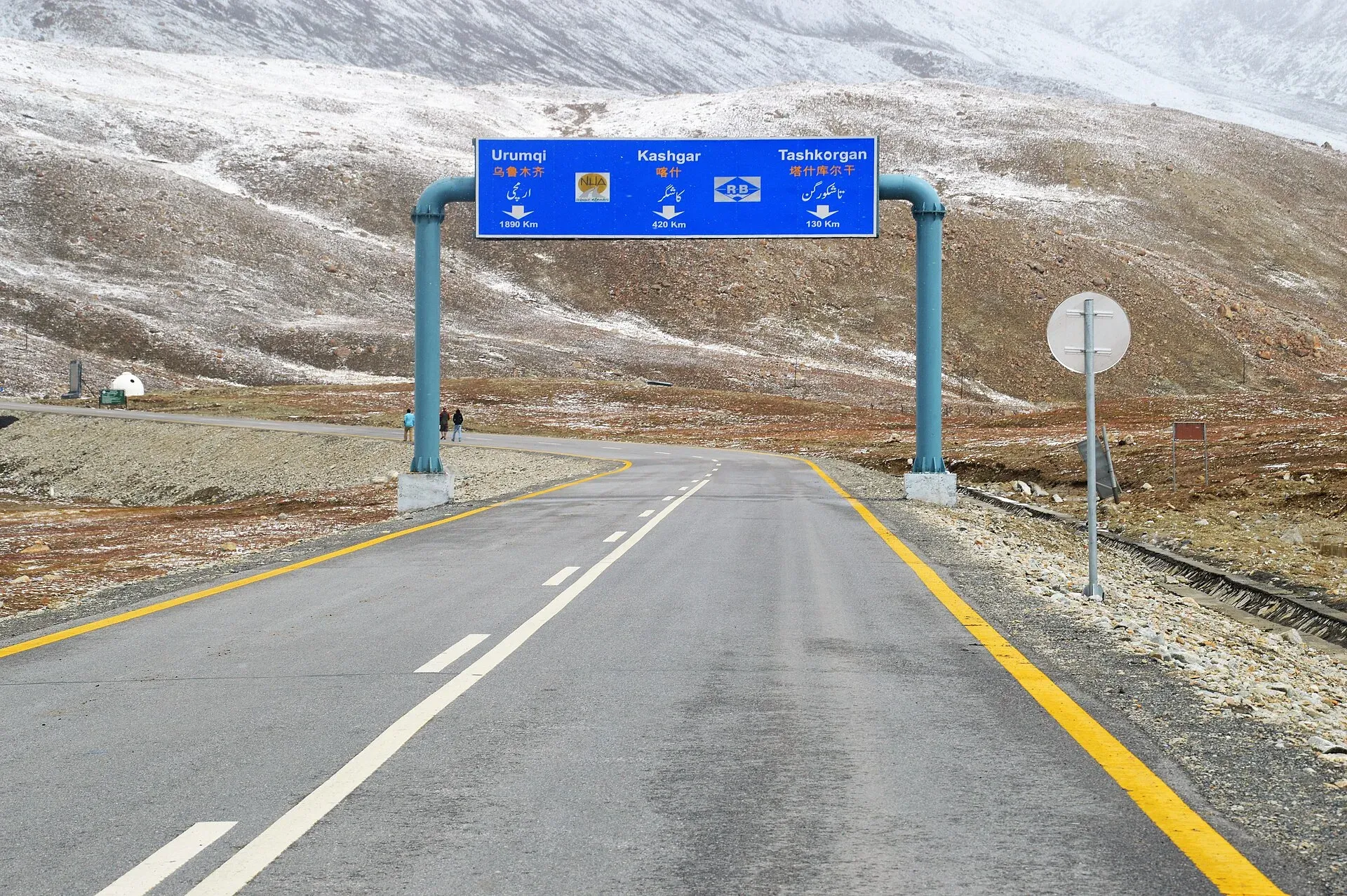
Khunjerab Pass is the only road crossing between Pakistan and China. It lies at 4,693 m, about 75 km north of the customs and immigration post at Sost (Wikipedia; OSRM measures 83 km from Sost town), and is the highest paved border crossing in the world. This page is about the whole overland journey: the road from Islamabad, the stage by Sost, and what is known about the border.
The border rules matter more than the road. Read the section on rules before planning to go beyond Pakistan's side of the pass.
Who it suits
- Visitors who want to go up to Khunjerab Top for the view and the border gate (a day trip from Sost or Passu).
- Overland travellers hoping to continue into China. This is not a normal tourist crossing; do not plan around it without current confirmation.
When to go
The top is easiest to reach from about May to October. Wikipedia describes the pass as normally closed to heavy vehicles from about 30 November to 1 May and to all vehicles from about 30 December to 1 April, with the dates set by snowfall. That is the older pattern: until 2024 the pass was open for border trade only from 1 April to 30 November. In December 2024 Pakistan and China agreed to keep it open year-round for trade and travel, and Dawn reported the formal inauguration on 23 April 2025. The agreement concerns trade and travel at the border; it does not guarantee that the road is clear or that visitors may go up in winter, so ask at Sost.
The journey in stages
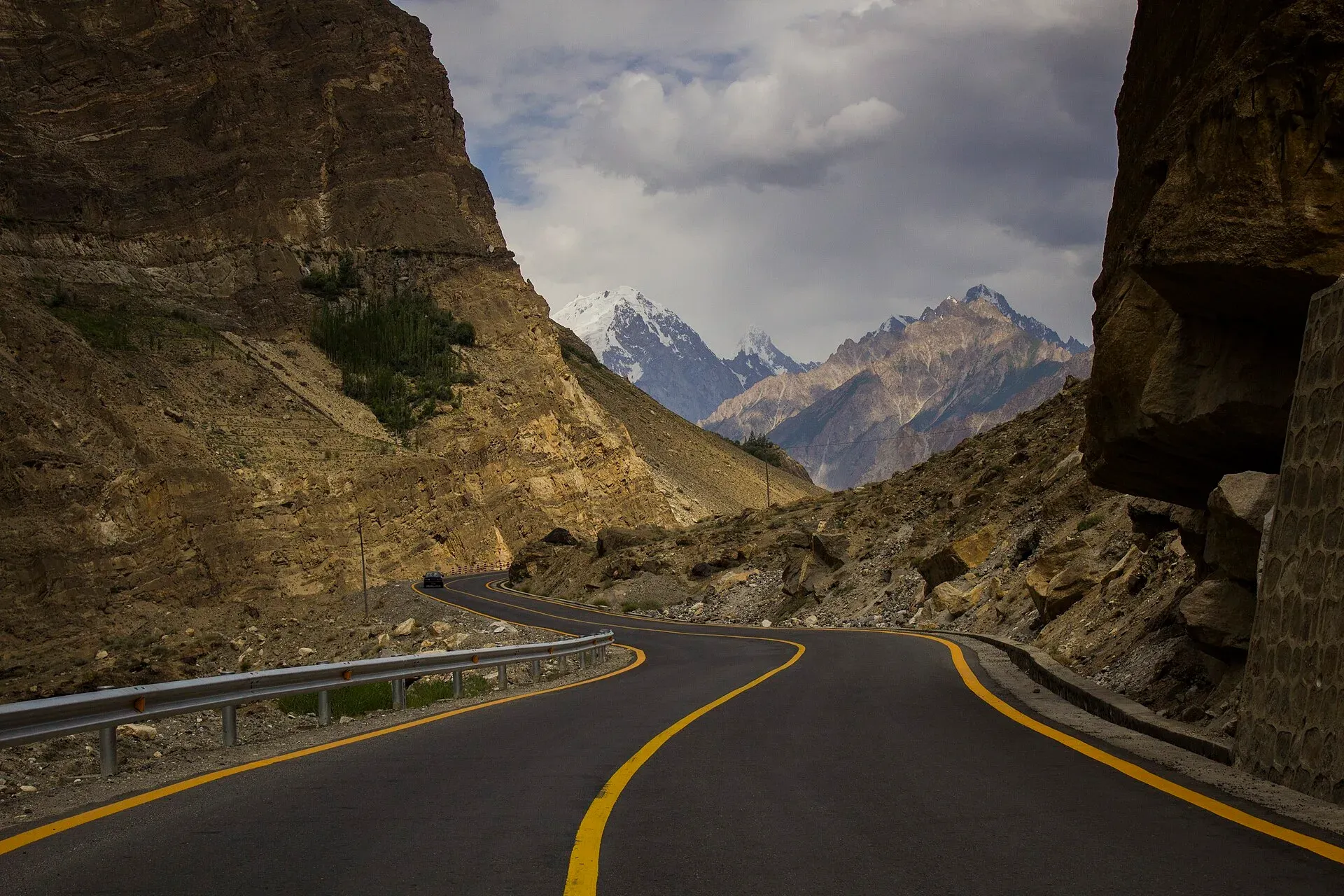
Photo: Saadzafar91, with thanks · CC BY-SA 3.0 · via Wikimedia Commons · temporary stand-in photo

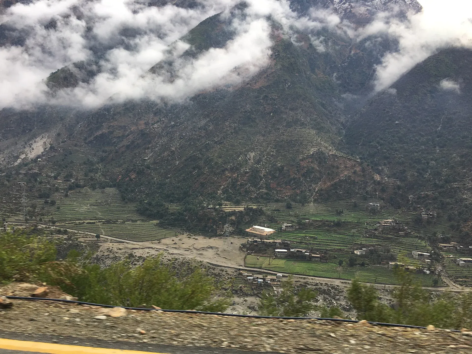
Photo: Bilal Munir, with thanks · CC BY-SA 4.0 · via Wikimedia Commons · temporary stand-in photo

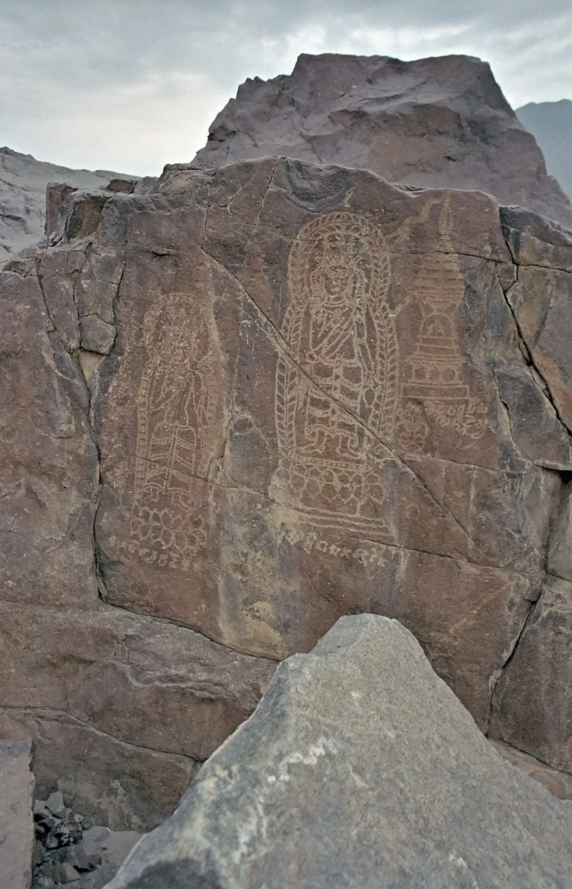
Photo: Kogo, with thanks · CC BY-SA 3.0 · via Wikimedia Commons · temporary stand-in photo

Distances are from Islamabad (OSRM estimates; actual times are longer on bad days).
- Islamabad to Besham (about 240 km, about 3 hours by OSRM): the road runs through Hazara and then reaches the Indus at Thakot. Besham is the usual first overnight stop, with fuel and hotels.
- Besham to Chilas (about 207 km, about 2.5 hours by OSRM): the hardest stretch. Wikivoyage says the road hugs the Indus with steep drops, narrow sections and fast traffic, and that summer heat can reach 45 degrees Celsius. This stretch is covered by the FCDO advice against travel (see the N-35 page). Chilas has rock carvings beside the Indus.
- Chilas to Gilgit (about 137 km, about 1.8 hours): open country. At Jaglot the Gilgit River joins the Indus.
- Gilgit to Karimabad (about 103 km, about 1.4 hours): past Rakaposhi at Ghulmet. Karimabad has Baltit Fort and a base for Altit.
- Karimabad to Passu (about 51 km, about 45 minutes): through the five Attabad tunnels, which bypass the lake formed by the landslide of January 2010. The longest tunnel is 3,360 m. Passu has the Passu Cones and a suspension bridge.
- Passu to Sost (about 40 km, about 40 minutes): Sost has Pakistani customs and immigration.
- Sost to Khunjerab Top (about 83 km, about 1 hour by OSRM): the climb to 4,693 m. Wikivoyage warns of altitude symptoms from about 2,500 m for people who have not acclimatised.
A fuller itinerary is on the Hunza and Khunjerab trip page.
Border rules (checked 16 November 2026)
- Visiting Khunjerab Top (Pakistan side): open to Pakistani and foreign visitors in the season, as a day trip. Expect an identity check at Sost. Ask the GB Tourism office, the Sost customs post or your hotel whether any permit or registration is needed this season.
- Crossing into China: there is no known confirmed rule from an official source that allows ordinary tourists to cross overland this year. A Gilgit-Baltistan tour operator told Dawn (25 March 2026) that the pass is open to tourists, but that visa rules for Chinese visitors coming the other way were a hurdle. A traveller guide (Against the Compass, page updated October 2026 but based mainly on a 2017 trip) says you need a Chinese visa in advance, and that its comments disagree on whether a Chinese guide is compulsory; we treat that as unconfirmed. The pass has a bus service in some years, and a 2026 border guide advises sorting out a Chinese visa well in advance and not assuming the pass is open. Pakistani news also reports closures. Check with the Chinese embassy or consulate, the Pakistan Customs post at Sost and the National Highway Authority before going.
- Trade traffic: Dawn reported (23 April 2025) that the pass opened for year-round trade and travel after the December 2024 agreement, and trucks use the pass.
- Border side change: Wikivoyage notes that Pakistan drives on the left and China on the right, so vehicles switch sides at the border. Cyclists can ride up from the Pakistani side but cannot cross by bicycle or on foot; they return to Sost or Tashkurgan and take a bus.
- Winter: Dawn (12 December 2024) reported the pass opened for winter tourism for the first time on 11 December 2024. There is no known notice of this year's winter closing date; the older pattern is a closure from about the end of November.
National park
The road crosses Khunjerab National Park (a park entry fee for foreigners is reported by blogs; we have found no official figure, so none is given here), home of Marco Polo sheep, ibex and snow leopards. Stay on the road, do not feed wildlife and take rubbish out with you.
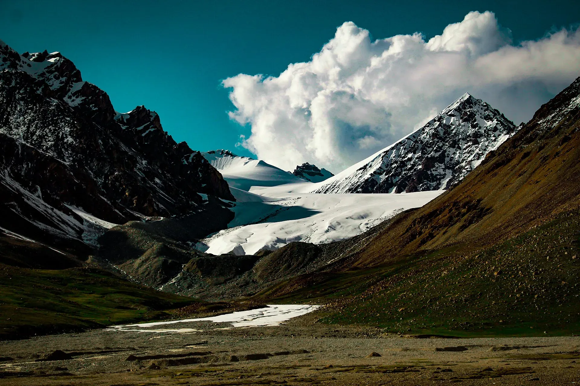
Photo: Gecksproduction, with thanks · CC BY-SA 4.0 · via Wikimedia Commons · temporary stand-in photo

Treks and side trips
See Kilik and Mintaka passes and other treks in Gojal.
Highlights
- Khunjerab Pass at 4,693 m
- Khunjerab National Park wildlife
- Sost customs and dry port
- The KKH between Passu and the top
Stops
- IslamabadStart
- BeshamOvernight option
- ChilasRock carvings; Babusar Pass road meets the KKH
- GilgitFuel and rest
- Karimabad (Hunza)Optional overnight
- PassuBest overnight for altitude
- SostCustoms, immigration, fuel
- Khunjerab Top4,693 m; border gate
km: distance from the start along the route.
Numbers follow the stops in order. The map shows the stops, not the road itself.
Day by day
Day 1 · Islamabad to Besham or Chilas
Drive up the KKH in daylight. Besham (240 km) is the safer stop; Chilas is 448 km from Islamabad (5 h 29 by OSRM), so push on only if you start early.
Day 2 · Besham or Chilas to Gilgit
The slowest section is in Kohistan and near Dasu. The distance is Besham to Gilgit; from Chilas it is about 137 km. Arrive in Gilgit before dark.
Day 3 · Gilgit to Passu
Pass Hunza and Gulmit. Overnight at Passu or Gulmit and rest well for the altitude.
Day 4 · Passu to Khunjerab Top and return
Stop at Sost for checks, then climb to the top: about 75 km from the customs post by Wikipedia's figure, 84 km by OSRM from Sost town. Passu to the top is 124 km one way. Return the same day.
Day 5 · Return towards Gilgit
Return towards Gilgit. Allow a spare day for landslides or closures.
Road conditions
- N-35 to Sost: paved, with slide-prone sections in Kohistan and Diamer.
- Sost to Khunjerab Top: about 75 km from the customs post (Wikipedia), paved and climbing to 4,693 m. OSRM measures 83 km from Sost town. Wikipedia describes seasonal snow closures; the exact dates vary, and the pass is now agreed to be open year-round for trade and travel (Dawn, 23 April 2025).
- 2026 reports: NDMA's January 2026 alert named the KKH, and Dawn reported travellers stranded by slides in 2026. A news search also showed closures between Sost and Khunjerab Top in 2026, so check before you go.
Distances and times in this plan are from OSRM / OpenStreetMap, measured on 16 November 2026. They are driving time only, without stops, and OSRM is optimistic on mountain roads, unpaved tracks and in traffic, so real journeys are usually clearly longer; treat the times as a minimum.
Fuel and services
Last fuel at Sost. Sost has basic hotels, a dry port, customs and immigration offices. There are no services at the top, only a gate and a monument. Carry water, snacks and warm clothes.
Where to stay, eat and fuel up
Places to stay
- Shangrila Chilas HotelCall Shangrila Chilas HotelMap of Shangrila Chilas Hotel in Google Maps
- Eagle's Nest Hotel HunzaCall Eagle's Nest Hotel HunzaMap of Eagle's Nest Hotel Hunza in Google Maps
- Indus Lodges GilgitCall Indus Lodges GilgitMap of Indus Lodges Gilgit in Google Maps
- Gilgit Serena HotelCall Gilgit Serena HotelMap of Gilgit Serena Hotel in Google Maps
- Park Hotel GilgitCall Park Hotel GilgitMap of Park Hotel Gilgit in Google Maps
- Hotel SarbanCall Hotel SarbanMap of Hotel Sarban in Google Maps
Places to eat
- KFC | AbbottabadCall KFC | AbbottabadMap of KFC | Abbottabad in Google Maps
- Yum Bakery and CafeCall Yum Bakery and CafeMap of Yum Bakery and Cafe in Google Maps
- Food PlanetCall Food PlanetMap of Food Planet in Google Maps
- Flame On Jadoon PlazaCall Flame On Jadoon PlazaMap of Flame On Jadoon Plaza in Google Maps
- BaithakCall BaithakMap of Baithak in Google Maps
- Food HutCall Food HutMap of Food Hut in Google Maps
Essential services fuel stations, ATMs, banks, pharmacies and hospitals and clinics
Fuel
- ShellCall ShellMap of Shell in Google Maps
- Attock Petrol PumpMap of Attock Petrol Pump in Google Maps
- PSO ROYAL STAR FILLING STATIONCall PSO ROYAL STAR FILLING STATIONMap of PSO ROYAL STAR FILLING STATION in Google Maps
- Ibex PSO Petrol StationMap of Ibex PSO Petrol Station in Google Maps
- PSO SostCall PSO SostMap of PSO Sost in Google Maps
- Sakhi Darbar PSO Petrol PumpMap of Sakhi Darbar PSO Petrol Pump in Google Maps
ATMs
- World's Highest ATM NBPMap of World's Highest ATM NBP in Google Maps
- National Bank of Pakistan (NBP) Mirpur/Mandian BranchCall National Bank of Pakistan (NBP) Mirpur/Mandian BranchMap of National Bank of Pakistan (NBP) Mirpur/Mandian Branch in Google Maps
- HBLMap of HBL in Google Maps
- Allied Bank LimitedCall Allied Bank LimitedMap of Allied Bank Limited in Google Maps
- United Bank LimitedMap of United Bank Limited in Google Maps
- The Bank of PunjabCall The Bank of PunjabMap of The Bank of Punjab in Google Maps
Banks and money exchange
- National Bank of Pakistan (NBP)Call National Bank of Pakistan (NBP)Map of National Bank of Pakistan (NBP) in Google Maps
- Telenor Microfinance BankMap of Telenor Microfinance Bank in Google Maps
- Allied Bank LtdCall Allied Bank LtdMap of Allied Bank Ltd in Google Maps
Pharmacies
- Alam Family HospitalCall Alam Family HospitalMap of Alam Family Hospital in Google Maps
- Bilal PlazaCall Bilal PlazaMap of Bilal Plaza in Google Maps
- Qureshi Brothers Chemists and DruggistCall Qureshi Brothers Chemists and DruggistMap of Qureshi Brothers Chemists and Druggist in Google Maps
Hospitals and clinics
- Shamshad Aslam HospitalCall Shamshad Aslam HospitalMap of Shamshad Aslam Hospital in Google Maps
- Fatima HospitalCall Fatima HospitalMap of Fatima Hospital in Google Maps
- Umer Hospital Wah CanttCall Umer Hospital Wah CanttMap of Umer Hospital Wah Cantt in Google Maps
- Aga Khan Hospital, GilgitCall Aga Khan Hospital, GilgitMap of Aga Khan Hospital, Gilgit in Google Maps
- Shifa Physiotherapy ClinicCall Shifa Physiotherapy ClinicMap of Shifa Physiotherapy Clinic in Google Maps
- City HospitalCall City HospitalMap of City Hospital in Google Maps
Listings come from Google Maps data and are unverified: phone numbers, opening months and prices may have changed. Report a problem · Own one of these? Claim it
Safety
- Altitude: the pass is above 4,600 m. Headaches and nausea are common. Do not stay long, and descend if symptoms get worse.
- Weather: snow and wind can arrive at any time, and the road closes without notice.
- Border area: keep to marked areas, follow instructions from soldiers and border staff, and do not photograph military installations.
- Advisories: no route-wide advisory was found for 16 November 2026, but treat the pass as closed to normal travel until confirmed locally.
Ask the district administration or local police about current conditions before you go. For foreign visitors: the UK FCDO advises against all travel on the Karakoram Highway between Mansehra and Chilas (advice updated 27 October 2026, checked 16 November 2026), but does not advise against Gilgit-Baltistan generally. Read the live advice before you plan.
Tips
- Spend a night at Passu or Sost before going to the top; this helps with altitude.
- Carry passport or CNIC; checkposts are frequent.
- Do not buy a ticket to China until you have confirmed the rules.
- Arrive early; clouds and cold winds increase by afternoon.
- Fuel up at Sost; nothing beyond.
More photos
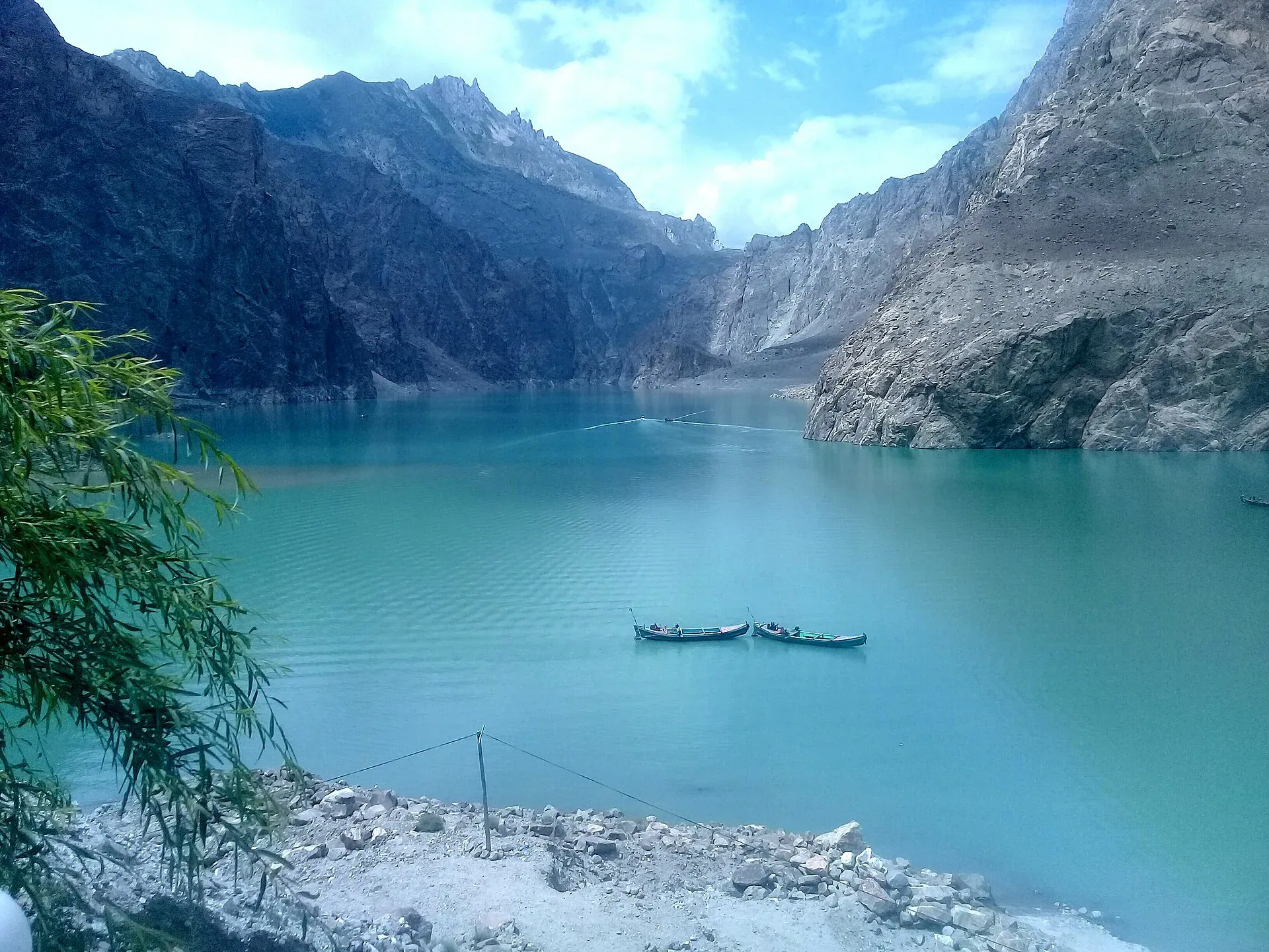
Photo: Peracha1, with thanks · CC BY-SA 4.0 · via Wikimedia Commons · temporary stand-in photo

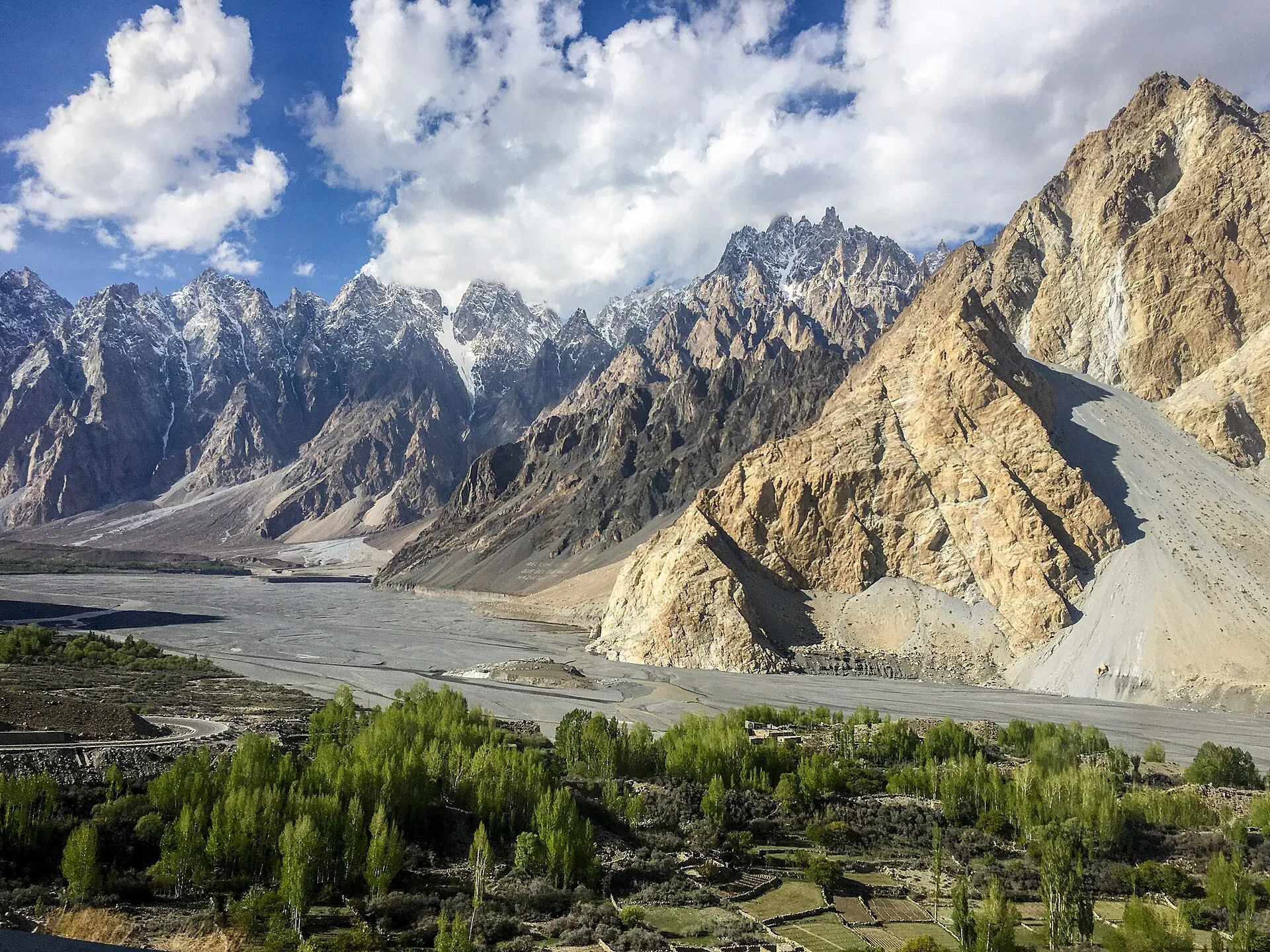
Photo: Mehrunisa Reimoo, with thanks · CC BY-SA 4.0 · via Wikimedia Commons · temporary stand-in photo

Photo: Shakeelgilgity, with thanks · CC BY-SA 3.0 · via Wikimedia Commons · temporary stand-in photo

Sources and last checked
Last checked Confidence low12 sources4 still to check
- Last checked
- Method
- Desk research from published sources
- Confidence
- low
- Checked by
- trek.pk research team
Researched from published sources; not yet checked on the ground by our team. Spot something out of date? Report a mistake.
Sources
- Pakistan Tourism Guide 2021 · Trade Development Authority of Pakistan (TDAP) · checked
- Khunjerab Pass · Wikipedia · checked
- Khunjerab Pass opens for year-round trade and travel · Dawn · checked
- NDMA issues landslide alerts for KP, Balochistan, GB, AJK (January 2026) · Radio Pakistan · checked
- A Guide to Crossing Pakistan's Land Borders (2026) · Saiga Tours (operator) · checked
- Travellers stranded as landslides block Karakoram Highway · Dawn · checked
- OSRM driving route service: distances and times measured 16 November 2026 (drive times are without stops) · OSRM / OpenStreetMap contributors · checked
- Gilgit-Baltistan tour operators seek Chinese visitors (25 Mar 2026) · Dawn · checked
- Khunjerab Pass opens for winter travel (12 Dec 2024) · Dawn · checked
- Khunjerab Pass border crossing guide (page last updated Oct 2026; mainly a 2017 trip) · Against the Compass · checked
- Karakoram Highway (stages, side change at border, altitude) · Wikivoyage · checked
- Karakoram Highway (history, Attabad tunnels, Jaglot) · Wikipedia · checked
Still to be checked on the ground (4)
- Whether foreigners need a permit or NOC to go up to Khunjerab Top (no official source found; blogs mention a park fee only)
- Whether tourists of third countries may cross to China overland, and on which days (no official source; traveller reports conflict)
- This year's winter closing date (no notice found)
- Current road condition on the Besham to Chilas stretch (on the ground; OSRM times are minimums)
Nearby and related

Kilik and Mintaka Passes

Other treks in Gojal

Patundas

Khunjerab Pass
The 4,693 m pass on the Karakoram Highway where Pakistan meets China. It is the road crossing between Sost in Gojal and Tashkurgan in Xinjiang, now agreed to run all year.

Khunjerab National Park
A high-altitude park on the Pakistan-China border, created in 1975 to protect Marco Polo sheep, snow leopard and Himalayan ibex. It surrounds the Khunjerab Pass on the Karakoram Highway.

Sost
The last town on the Karakoram Highway before the Chinese border, at about 2,800 m. Sost has Pakistan's immigration and customs offices, a dry port, and is the base for Khunjerab Pass.

Sost Dry Port
The customs and cargo yard at Sost, last town on the Karakoram Highway before the Chinese border at Khunjerab. Pakistani customs and immigration are based here; it is a working site, not a tourist attraction.
Passu
A Wakhi village in Gojal beside the Passu Glacier, below the jagged Passu Cones (Tupopdan, 6,106 m). Known for Hussaini Suspension Bridge, glacier walks and Batura views.

Gulmit
The administrative centre of Gojal (Upper Hunza), at 2,465 m on the Karakoram Highway. A calm base for Ghulkin, Borith Lake, the museum and fort walks.

Karimabad (Hunza)
The main town of Hunza, set on a terrace below Baltit Fort with Rakaposhi, Ultar and Diran in view. A good base for forts, viewpoints, Attabad Lake and the road to Gojal.

Gilgit
Gateway to Gilgit-Baltistan on the Karakoram Highway: a busy mountain town with the Kargah Buddha and the base for Hunza, Naltar and Skardu.

Hunza and Khunjerab (KKH)
A 7-8 day road trip from Islamabad up the Karakoram Highway to Hunza and on to Khunjerab Pass (4,693 m), with overnight stops at Besham, Chilas and Gilgit.

N-35 Karakoram Highway: Hasan Abdal-Khunjerab
The Karakoram Highway runs from Hasan Abdal through Hazara, Kohistan, Gilgit and Hunza to Khunjerab Pass (4,714 m) and China. Landslides are frequent and the UK advises against travel between Mansehra and Chilas.

Silk Road (KKH)
The Karakoram Highway as an ancient Silk Road: rock carvings, Buddha figures and the forts of Hunza, up to the Khunjerab Pass. A five-day plan from Gilgit with measured distances and current advice.